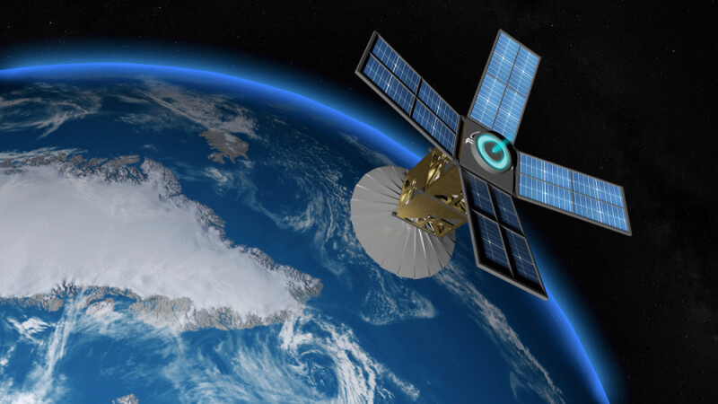
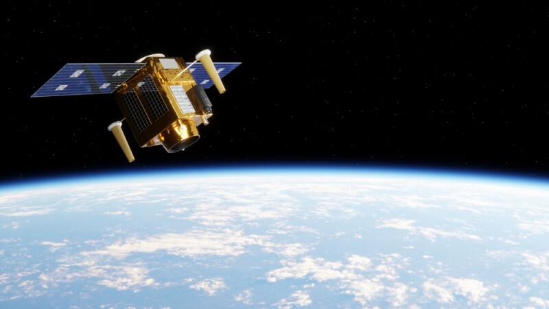
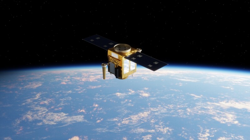
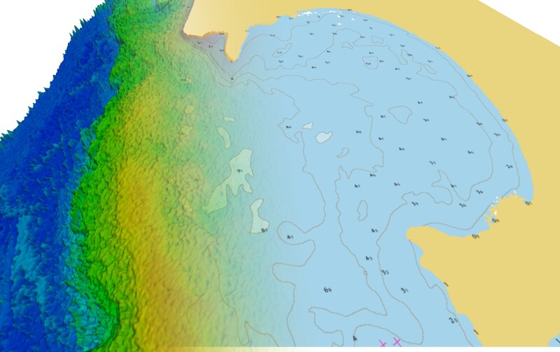
From the editor: Since the launch of the first Landsat satellite, the utility of having space-based imagery of our planet has been apparent to many. Over time, the number of sensors that have launched, as well as the availability of imagery has increased exponentially. With the advent of small satellites and ridesharing, the time between a sensor sitting on a lab bench and being inserted into orbit can now be less than a year - opening up more possibilities for democratizing remote sensing data. Find out more about the potential for satellite data in myriad applications, including mapping, natural resource management and more.
Subscribe
The information you submit will be stored and used to communicate with you about your interest in Geo Week. To understand more about how we use and store information, please refer to our privacy policy.
Login

