Every week, we highlight stories from friends around the internet that put a spotlight on the latest from within the geospatial, advanced visualization, and AEC industries. These stories can take many different forms, whether they be about a new innovation or workflow, an interesting and/or unique use case for technology, or a higher-level look at the state of the sector. Today, we have stories about the importance of integrating technologies for hydrography, digital twins’ relationship with industrial AI, and the use of satellite imagery to accelerate wildfire response.
Find links to the full articles below.
Beyond either/or: integrating hydrographic technologies for a data-driven future
Kyle Goodrich | Hydro International
Collecting accurate and frequent data of our coastal areas is more important than ever to keep up-to-date with how the environment is responding to climate change, and the technology for this data collection is constantly improving. Today, there are a number of options, including lidar, multi-beam, satellite, sonar, and more. As this article explains, the conversations around these projects often turn into an either/or discussion about which technology is best suited for specific work. Goodrich explains, though, that this kind of thinking needs to shift toward integrating multiple technologies to get the best possible data.
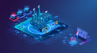
Into the Omniverse: How Digital Twins Are Scaling Industrial AI
James McKenna | NVIDIA
While most of the mainstream attention to NVIDIA these days is around their GPU chips and how that is powering much of the advancement in generative AI, the company is also doing a lot of work around digital twins and, more recently, robotics for industrial applications. This article highlights their work with industrial AI as well as digital twins with the Omniverse, and how the latter is helping to solve the problems around scaling AI in these complex settings.
Next-Generation Satellites and Sensors Look to Speed Up Wildfire Response
Marisa Torrieri | Via Satellite
While imagery and other data from Earth observation satellites were once extremely difficult to access, both in terms of frequency of collection and overall cost, accessibility has increased tremendously in recent years. More satellites have been launched, and many public organizations release data that can be accessed for anyone, while private companies provide high-resolution and frequent imagery to their customers. This has proven valuable across a variety of applications and industries, with this article highlighting how Earth observation data can and is being used in responding to wildfires.