Every week here at Geo Week News, we have been highlighting some of our favorite stories from around the internet that cover the geospatial, 3D, and AEC industries. Whether it’s a fascinating case study, insights from an industry thought leader, or deep dives into new tools, there is never any shortage of great writing and storytelling in this industry. Now, we’re expanding this section a bit. We will still be highlighting three stories from around the internet every week, but in addition, we will also be adding some information about some of the news that came through the industry over the last week.
So, below you will first see links to three stories that we loved this week, and then under that, check out some of the biggest news that came across the wire over the last seven days.
Stories of the Week
Earth observation is one of the fastest-growing segments of the geospatial industry, as the cost of launching satellites has rapidly decreased in recent years, as algorithms to analyze the vast amounts of data have rapidly improved. In this article, GIM International’s Wim van Wegen looks at the Earth observation industry as a whole, where it’s been, and where it's going.
Meanwhile, for the data collected from here on Earth, we are looking for the best ways to stream the ever-increasing 3D data for improved visualization. As we’ve covered here, the Universal Scene Description (USD), originally developed by Pixar, is becoming the standard for 3D visualization data, and this article from Sean Snyders and Nathan Patton, published at the American Surveyor, details why and how.
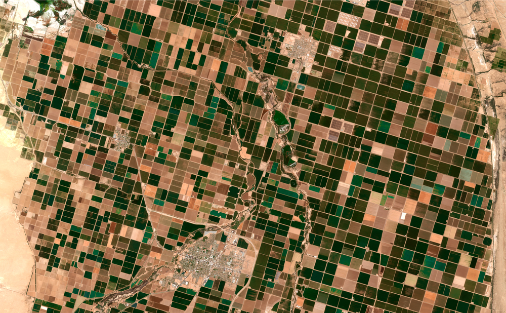
Lidar, as we know, is helping us unlock previously unknown secrets of past civilizations, and this week we got a new story out of Michigan. During a project in the Upper Peninsula by researchers from Dartmouth University, drone-based lidar helped find a 1,000-year-old farming community that is reshaping our knowledge of how advanced precolonial American societies were with their agricultural practices, as outlined in this article from Christopher Plain of The Debrief.
News of the Week
We start with big news for drone surveyors, as DJI has introduced their new flagship drone, the DJI Matrice 400. The new drone is designed for a variety of missions, which include AEC work and large-scale mapping, and offers a 59-minute flight time, a payload capacity of up to 6 kg, and a lidar and mmWave radar-based obstacle sensing system. Given their price point and variety of options, DJI remains the leader for many sectors in drone manufacturing, and this new release should only strengthen that position.
Sticking in the world of drone surveying, we move over to the software side of things for our next bit of news from YellowScan. The company announced late last week new advanced Smoothing technology. They say the feature was designed “to enhance the precision of point clouds by significantly reducing ranging noise,” and is currently available as part of CloudStation Pro and CloudStation Ultimate.
Geospatial data is becoming a more core component for a number of industries, meaning professionals in this area are more in demand than ever. The GIS Certification Institute (GISCI) provides one such certification, and recently announced that 41 individuals completed their newly launched GISP-E certification program.
- One of the biggest buzzwords in the business world today is “AI Agent,” and every sector is working to figure out how to make the tools work for them. The Digital Twin Consortium is no exception, and this week announced the creation of an AI Agent Capabilities Periodic Table, which they say is “a comprehensive framework and the industry’s first standardized approach for evaluating.”