

It’s no secret that, while there are a host of concerns to be kept in mind for policymakers throughout the United States and around the world, climate change is clearly front of mind everywhere. That can be, and is being, addressed in a myriad ways, with new regulations being directed towards corporations and around development, as well as simple awareness plans. In the world of government, urban planners are perhaps most affected by the prospect of climate change and the effects it can have on communities, with different areas experiencing different potential consequences.
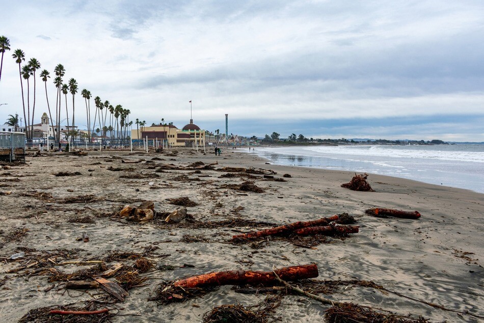
Many different types of communities will, and in some cases already have, experience the effects of climate change in different forms, but cities along coasts are keeping particularly close eye on ways to combat these effects. The good news on that front? Technology is developing at the perfect time to help make crucial policy decisions to maintain crucial infrastructure close to the shore, and ensure citizens can live comfortably as the coastlines shift.
This idea of technology being used to help was part of a discussion through an Esri-sponsored webinar hosted Thursday on LinkedIn. In the talk, entitled Cities Simulate Climate Change with Mapping Technology, Taisha Fabricius, Product Manager with Esri, moderated a conversation with Alan Clinton, Administrative Planning Officer at the County of Kaua’i, and George McLeod, Director at the Center for Geospatial Science, Education, and Analytics at Old Dominion University.
I’d certainly encourage people to check out the entire conversation here, as this isn’t to serve as a recap of the entire talk. Instead, throughout the webinar I was struck by how much certain technologies coming of age at the right time can serve to help protect against the consequences of climate change, particularly along coastlines. Between ever-improving GIS capabilities – which help power Kaua’i’s Constraint District – sensing technology to get accurate measure of coastline changes, and an AI boom which is helping to fuel better simulation capabilities than ever before, there are more ways to protect against these effects than ever before.
This wasn’t discussed much in the webinar mentioned above, but the improvements made in bathymetry have really come at a crucial time. Generally speaking, we know a lot more about the topography of our land than coastlines because it’s been simpler to measure the former. Now, as experts around the industry discussed in a recent Geo Week News report, the hardware for these workflows is both more powerful and more accessible, leading to more accurate and up-to-date information about our coastlines. These trends should only continue, allowing us to have a better idea of how these areas are evolving, which in turn can power simulations and inform policy decisions made by areas along a coast.
Additionally, our ability to visualize things in three dimensions has improved tremendously. Now, in the conversation both McLeod and Clinton made sure to emphasize that not everything has to be represented in 3D. It’s important to keep your audience in mind, and remember that sometimes it’s simpler to share and view things in 2D, and the amount of information you may be losing is negligible enough to be worth presenting things in a more understandable way. That said, we also, as humans, understand things better with three dimensions of context, and we have more ability to do that than ever before.
This is particularly true of running physics-enabled simulations, which are becoming increasingly important when making policy and urban planning decisions in areas which could be affected by sea level rise along the coasts. Buildings constructed today may be fine, but it’s important before any approval that we know they’ll be fine 50, 100 years down the line. Combining new capabilities with game engines and more powerful AI, we can run these simulations with more confidence than ever before to ensure smart decisions.
None of this is to say, of course, that this technology will save the world from climate change. This technology is more about dealing with the effects, and even better tools will certainly be developed in the coming years. This is a crucial time, though, to start planning and preparing for the worst possible effects, and we’re fortunate to be in a time when so many key technological developments are coming up at the same time to help on this front.


