Sponsored by Trimble Applanix
Although mobile mapping can no longer be qualified as a new technology, significant developments over the last decade have taken usage to a new level. Sensors are getting smaller, allowing for multiple lidar sensors to be placed within a single system to maximize data quality. Systems are also able to be used at higher speeds, with most road-vehicle-based systems now boasting the ability to collect high-quality data at highway speeds. On the point cloud processing side, artificial intelligence and machine learning have also improved to help ability to derive value from the data, automatically classifying and extracting features.
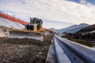
Amid all of the improvements, though, the need for reliable and accurate location data throughout a project remains crucial. For the types of projects that utilize this kind of mobile mapping data, the work often revolves around major infrastructure projects that cost huge amounts of money and for which workflows are extremely complex. Working with positionally accurate data streamlines this work, and makes it more economically viable to collect this data frequently, which in turn allows for viewing changes over time. With that change data, project managers can catch errors much more quickly, averting costly and dangerous outcomes.
This is where Trimble Applanix comes in as an industry leader who provides position and orientation solutions for both sensors and vehicles, inertial navigation technologies, and more. As we talked about a couple of months ago, many of these solutions support surveying projects taking place in the air with UAVs, the technology is also used extensively with land-based – and even marine – projects.
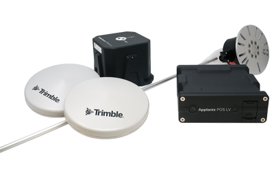
For terrestrial mobile mapping projects, the Applanix POS LV is one of the main offerings from the company, blending their “cutting-edge inertial technology with a compact, integrated design for unmatched accuracy in urban and suburban environments.” The system is simple to transfer between vehicles, if needed, and can be operated at highway traffic speeds.
The POS Computer System directly processes raw GNSS data to compute accurate positional information in GNSS-denied areas, and its IMU generates a representation of the vehicle’s motion on all three axes. In all, it can achieve X, Y accuracy with GNSS up to .02 meters, and maintains precision even through GNSS outages. Along with the POS LV, there is also the POS LVX variant for scenarios in which space and weight are constraints, designed for smaller and modular mobile mapping systems.
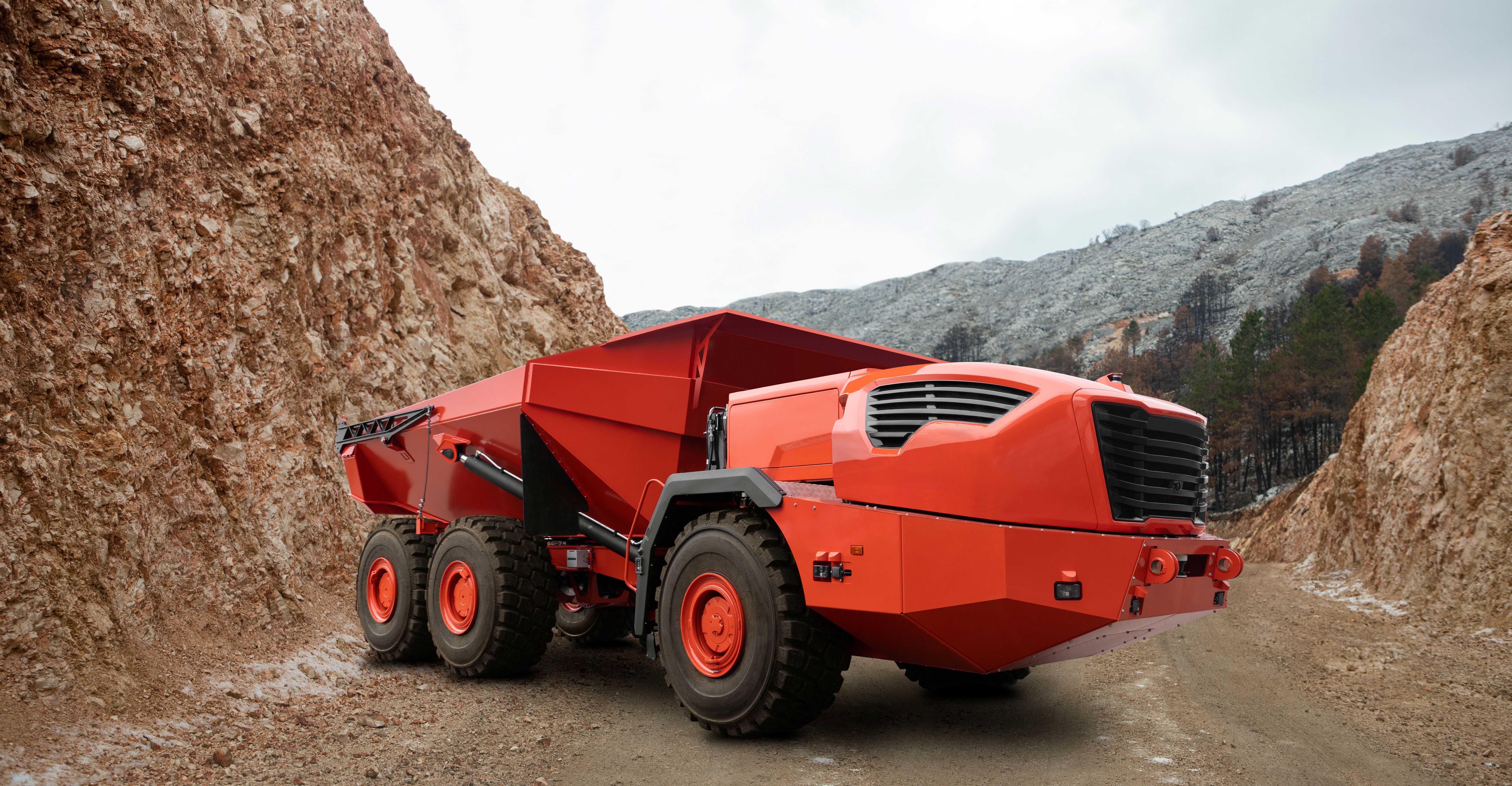
For particularly challenging environments, like mines or other remote projects, the Trimble RT200 is still able to deliver centimeter-level positioning. With its advanced inertial navigation, it is able to maintain precise position estimates in real-time, and continuous precise measurements throughout projects, even in those challenging GNSS environments. As many of these industries start to move more toward autonomous machines for projects of this type, technology like the Trimble RT200 is crucial to maintaining the quality of the work and ensuring projects are completed efficiently and correctly.
Trimble Applanix’s customers all over the world have shared stories about how this technology has worked to solve key challenges in their workflows. For example, the Fraunhofer Institute for Physical Measurement Techniques IPM in Germany had a project in which they were looking to create precise maps of urban streets with detailed surface information. They created a custom measuring system featuring a series of cameras and lidar sensors to be used on a vehicle, with the data ultimately being used by a local telecommunications company, Deutsche Telekom. They needed location captured at a high accuracy for this project, and turned to the Applanix POS LV to do the job.
Ultimately, they were able to complete their goals, with a spokesman from Deutsche Telekom saying, “The speed at which we can generate a 2D map of an urban area has significantly impacted our business. We can now go from capturing mobile mapping data to planning for fiber optic cable lines within days, rather than weeks or months.” Read more about this case study here.

There is also the case of Railergy, a firm that specializes in the design and implementation of the next generation of command and control systems for rail solutions. After the passing of the European Green Deal in 2020, a focus was put on modernizing the continent’s rail system to deliver greater energy efficiency for rail-based freight. Railergy was specifically working on a system to automate shunting yards – areas where train cars are separated and moved to new locations, and new trains are linked together.
One of the major keys to this kind of work is to position the engine without having to set up ground control points, something they were able to achieve with direct georeferencing technology from Trimble Applanix. They used the Applanix POS LV to efficiently create an accurate map of the rail yard, all without having to rely on ground surveyors who would disrupt the rail operation. The use of this technology puts the ultimate goal of autonomous systems within reach.
“POS LV proved to be a turnkey platform for the research and development phase of our autonomous solution. Easy integration and excellent support helped us to build our technology platform. In the future, we will integrate the Applanix technology even deeper into our systems”, said Jakob Gärtner, Railergy director. Read more about this case study here.
Taken together, these case studies underscore a broader truth about today’s mobile mapping landscape: Precision and reliability of accurate location data are foundational. As sensing systems become more sophisticated and workflows accelerate, the ability to maintain high-accuracy positioning across different and challenging environments becomes a key differentiator. Whether it’s streamlining urban fiber rollouts or laying the groundwork for rail automation, Trimble Applanix’s suite of solutions – particularly the POS LV and its variants – continues to play a critical role. As the industry pushes further into automation, real-time data capture, and AI-enhanced processing, having a trusted source of positional integrity ensures that even as systems evolve, accuracy remains constant.