Contributed by Neil Vancans, Head of Geomatics Sales Unit at Topcon Positioning Systems
Geospatial technology is advancing faster than ever before. New chip sets, more open GNSS signals, better integration with other geolocation technology – all things that are helping to build a smarter, more productive construction industry. Projects of all scales are achieving new levels of accuracy and efficiency, supported by positioning technology that is increasingly powerful and easy to use. Advances in integration hold particular value for projects in denied GNSS environments, where smarter systems can switch to alternative means of location technology in real time.
The pace of development, and the opportunities it brings, haven’t gone unnoticed in wider markets, with serious expansion in everything from consumer electronics to public infrastructure – all of which are becoming intertwined as the technology advances. A prime example of this is smart cities. Smart cities aren’t a single entity – they’re a network of individual smart devices, many of which require robust and effective positioning technology, wherever they are.
Construction is blazing a trail here, putting the newest systems to work seamlessly and consistently in digital workflows and reaping significant benefits. The growth of geospatial technology in capability and scope has coincided with construction’s digital revolution, and the result is an industry primed to get the best from new precision positioning tech as it hits the market.
For those getting started or scaling up their use of geospatial technology, it’s worth a look at how these solutions have been embedded into construction, as a complex, traditional and high-pressure sector.
No GNSS, no problem
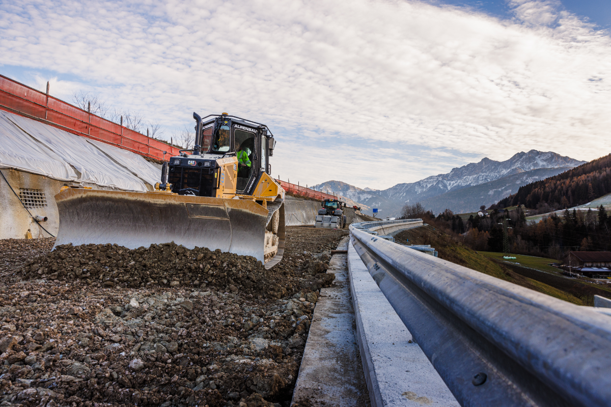
 GNSS coverage is better than ever – new open GNSS signals are unlocking the power of precision positioning in more territories and on more projects. But denied GNSS environments remain a significant challenge in busy urban centers, tunnels or in dense forests. One of the most significant steps forward in geospatial technology for construction has been its integration with other positioning technologies in hybrid positioning solutions, enabling construction teams to keep working accurately and efficiently in these settings. In-built real-time kinematic (RTK) technology is one solution that is being used to bridge the gap where GNSS signals are patchy or blocked altogether.
The value of these systems for teams on the ground is that they don’t have to be geospatial experts to find the right technology for the job site. GNSS correction services such as Topnet Live by Topcon provide the most accurate data from all the sources available, meaning construction workers can use same equipment and be confident that they’re getting the view they need of the job.
This level of beginner-friendliness will be crucial as geospatial technology hits the mass market and lands in the hands of consumers, who won’t want to have to switch the GNSS signal on their e-scooter when the GPS doesn’t work in the city. Here, the construction sector provides a prime example of how the barrier to entry for GNSS technology can be simplified, even the most advanced systems.
Dissecting big data
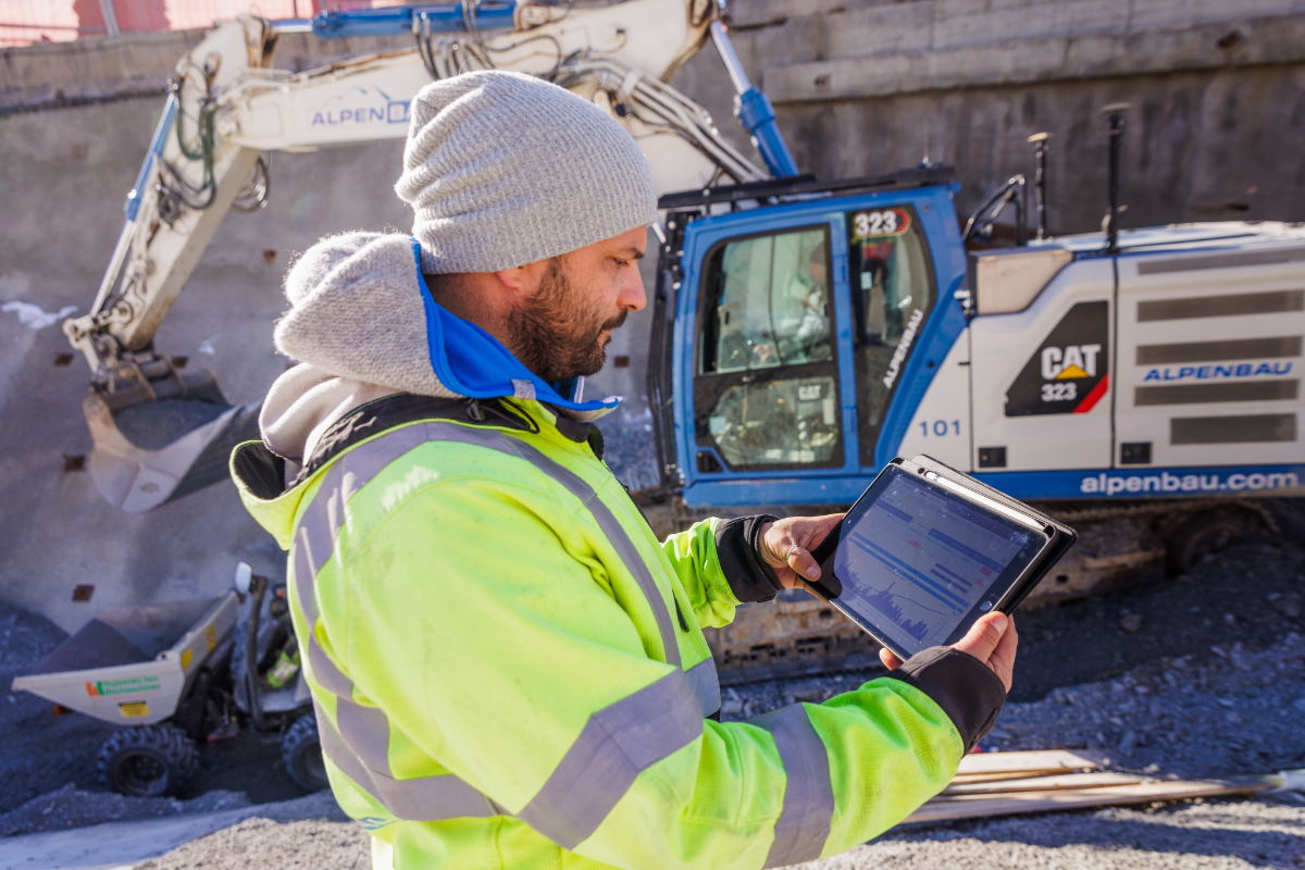
The days when geo’s role finished at the survey stage are long gone. Now, machines equipped with machine control systems use precise positioning to keep operators on plan and deliver updates to project managers on everything from progress to fuel expenditure. The result is a lot of data, which needs to be translated into insights that can be used to improve the work.
Harmony in this data collection, processing and sharing is mission critical, particularly on large-scale projects with multiple contractors and stakeholders, who all need to be singing from the same hymn sheet throughout the build. This is often easier said than done, particularly if data comes from third-party applications, and it’s why geospatial technology is at its most powerful when paired with integration platforms that collect and manage project data. Aptix is Topcon’s Integration Platform, which combines data from a range of sources and displays it in intuitive dashboards that aid decision making, as well as enabling reports to be easily created and exported for stakeholders. Data processing is one area that geospatial will be supported by another technology currently going from strength to strength – AI.
Like geospatial technology, AI will be crucial for the success of smart cities and the devices that make them smart. The introduction of AI assistance to the software stacks that process GNSS data will supercharge this step in the workflow and allow for even faster data collection and interpretation. As the number of devices feeding data into these systems increases, this becomes nothing short of a necessity if they are to run smoothly.
The possibilities for geospatial and AI are immense, and the example set by construction, an industry that has embedded advanced technology into a well-established workflow, will be a useful roadmap for the people charged with making it happen.
Onwards and upwards
This is an exciting moment for the geospatial industry and indeed all the industries that its development is set to transform. Construction’s existing healthy relationship with the technology means it’s better placed than most to take advantage of the newest solutions, including the integration of AI. As use cases for geospatial explode in the coming years, and technology makes its way into the mass market in a big way, the sector can keep leading the way as it gets smarter, more efficient, and more capable.
To find out more about Topcon, visit: https://www.topconpositioning.com/
About the author:  Neil Vancans is an experienced leader in the surveying and geospatial industries and head of Topcon’s Geomatics Sales Unit. Neil has a wealth of experience in senior leadership roles at companies including Leica Geosystems, Thales Navigation, Septentrio, and Altus Positioning Systems.
In his current role at Topcon, Vancans is responsible for growing the company’s geomatics sales operations globally. His focus includes turning raw positioning data into actionable intelligence, empowering partners and dealers, and accelerating digital transformation through geomatics technologies.