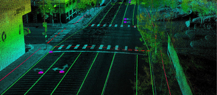
The fifth episode of the Points + Pixels podcast focuses on the use of mobile Lidar data to support autonomous vehicle navigation. Joining us on the podcast is John Sullivan of Continental Mapping, who is based in Madison, Wisconsin and has completed several mobile Lidar data acquisition projects related to transportation, fiber optic networks, wireless 5G and autonomous vehicles.
John & I recently discussed Continental’s work developing high-definition (HD) base maps in support of autonomous navigation applications. He shared two YouTube videos that explained the need for HD base maps, so I invited him on the podcast to share his professional thoughts and perspectives.
Relevant Links
- Twitter: @ContinentalMapp
- Website: www.continentalmapping.com
- Continental Mapping – HD Basemaps For Autonomous Vehicles
- Continental Mapping – Annotation for HD Basemaps
Episode Contributors

Bill Emison
Conference Chair