
This episode of the Points + Pixels podcast focuses on the use of open source software solutions to support the new U.S. Geological Survey’s 3DEP data portal on Amazon Web Services (AWS). Howard Butler of Hobu, Inc. discusses how this innovative project was conceived and how its design is based on the Landsat program, a federal government imagery acquisition initiative that has documented Earth’s “land features and coastal regions” since 1972.
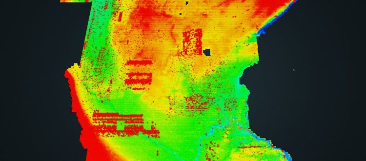
This new lidar data sharing capability allows users to browse a national map service for point cloud data, which can either be downloaded locally or processed in the AWS cloud environment. Hobu utilized Entwine Point Tiles (EPT), which is an open, static, implicit, and lossless octree-like tile service for point cloud data, that leverages the popular LASzip data encoding specification.
Relevant Links
- Twitter: @howardbutler
- Hobu website: https://hobu.co/
- Github: https://github.com/hobu/usgs-lidar
- USGS 3DEP AWS Interaction Page: https://usgs.entwine.io
Episode Contributors


