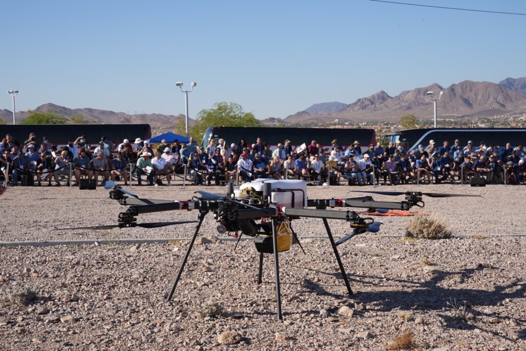
At Commercial UAV Americas, leading UAV lidar maker YellowScan announced the latest lidar to their portfolio: Explorer. The new lidar mapping system is designed to be used either on UAVs or on lighter manned aircraft, which can help to bridge the gap in some workflows where it may not be possible to use UAS or where manned flight is impractical.
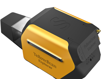
Designed to be mounted on fixed-wing UAV, multirotor UAV and manned aircraft (light plane and helicopter) Explorer can enable a variety of missions. Weighing only 2.3 kg without the battery, the low weight is the key to its versatility, remaining light enough to be attached to a typical UAS. The laser scanner has a range of up to 600 meters, and this relatively small sensor is still able to keep up at speed - with operating speeds between 5-35 m/s. In addition, Explorer is capable of flying at an AGL altitude up to 300m, which is ideal for flights of small manned aircraft.
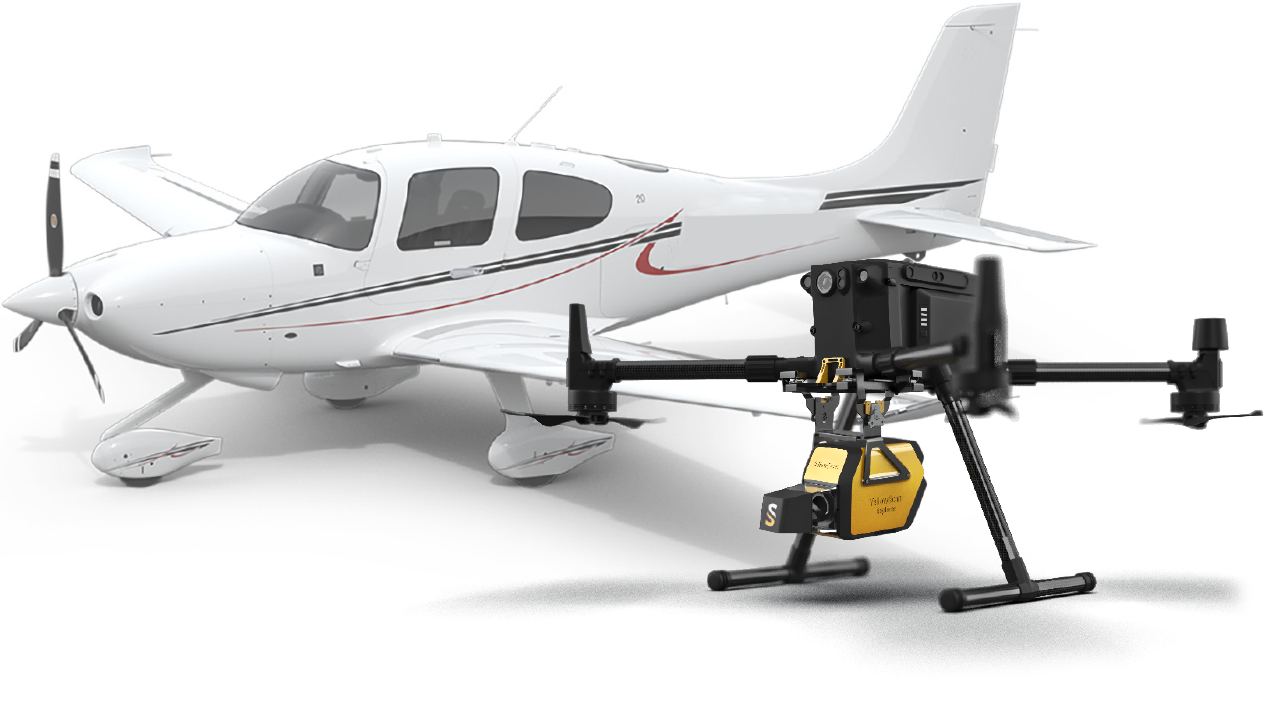
Explorer appears to be the first long-range platform of its kind to hit the market. It is equipped with an Applanix APX-20UAV GNSS-Inertial solution, with a precision of 2.6 cm and a reported accuracy of 2.2 cm.
 Like their previous scanners, the Explorer works with Yellowscan’s software solutions to easily extract and process collected point cloud data, providing users with an accurate set of tools to meet the needs of surveying, forestry, environmental research, archaeology, industrial inspection, civil engineering, and mining sectors.
Explorer is the result of several years of collaborative research. In 2017 YellowScan took part in a research project called FRELON (“French long range lidar”), funded by the European Regional Development Fund. The goal was to develop a new standard for long range LiDAR by bringing together innovative specialists like YellowScan to collaborate directly with Airbus Defense and Space, UAV manufacturer Delair, M3 Systems and utility end-users EDF, RTE, Enedis and SNCF to develop the next generation solution to meet their requirements.
“We are proud to finally release Explorer. This is our answer to the market’s need for a single long range, yet compact LiDAR unit that can be mounted on light manned aircraft and various UAV platforms,” commented Tristan Allouis, CTO, YellowScan.
For Nassim Doukkali, R&D project manager, the release is something the company is particularly proud of.
“We have been working on Explorer for the last 3 years, building on everything we have learned and achieved from a hardware, software and component integration to date. One of the elements we are most proud of is the laser scanner, which has been designed according to our specific specifications. With a maximum range of 600m, the Explorer has exceeded YellowScan’s initial expectations.”
For more information on this release, visit YellowScan's website: https://www.yellowscan.com/