

LiveEO’s extensive analysis of more than 15,000 public satellite images has resulted in a better understanding of the vegetation condition alongside overhead lines in order to prevent power interruptions.
LiveEO offers satellite-based monitoring solution for infrastructure operators in the utility industry for vegetation management, ground deformation, and monitoring of third-party interactions. By applying state-of-the-art machine learning algorithms to investigate satellite imagery, the company ensures the accuracy and reliability of the results.
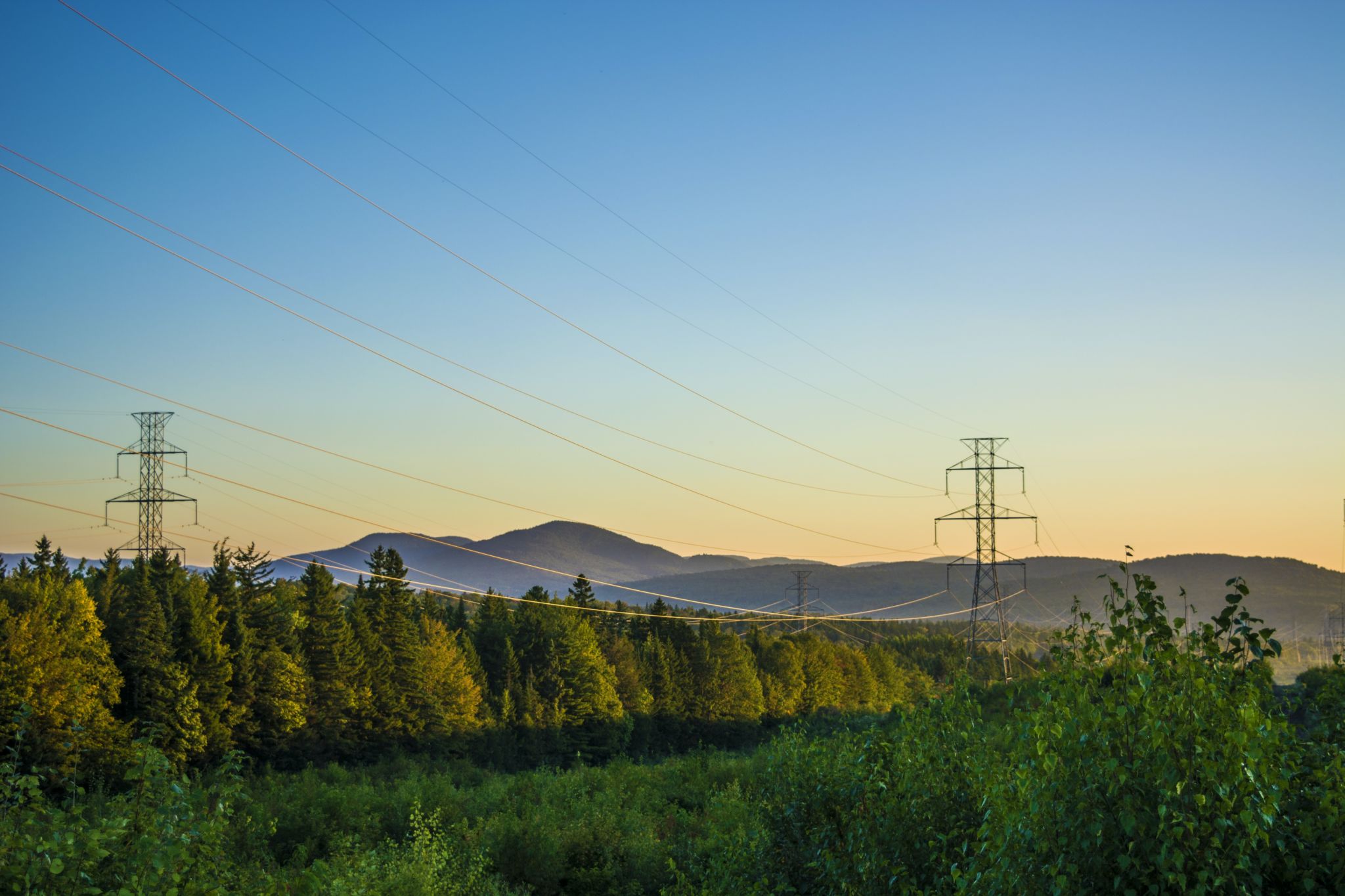
Reducing power interruptions
Recently, the company performed a satellite-based vegetation risk analysis of the entire US electric transmission grid to get a better understanding of the vegetation condition alongside overhead lines. LiveEO’s further analysis helps utilities to improve management processes and to decrease wildfire and storm damage risks.
Although this was the first time in history that an encroachment risk to the entire publicly available US transmission grid has been analyzed from space by LiveEO, the main goal of this large-scale analysis was to demonstrate the company’s analytic capabilities to a North American audience.
Proven by studies, vegetation is one of the main challenges for utilities globally, causing up to 56% of externally triggered power interruptions. In the US alone, approximately US$ 6 billion is spent on vegetation management by utility companies annually. Condition-based satellite monitoring can help reduce the number of incidents.
How the analysis was created
The basis of the analysis was geo-referenced transmission grid data. In order to create precise analysis, accurate satellite imagery was acquired corresponding to the grid. Next, every pixel within a certain distance around the grid was classified as tree or not-tree. Segments of the grid that were within the critical distance to any tree cover were identified. Finally, a summarizing statistic of these all vegetation-exposed grid segments was created.
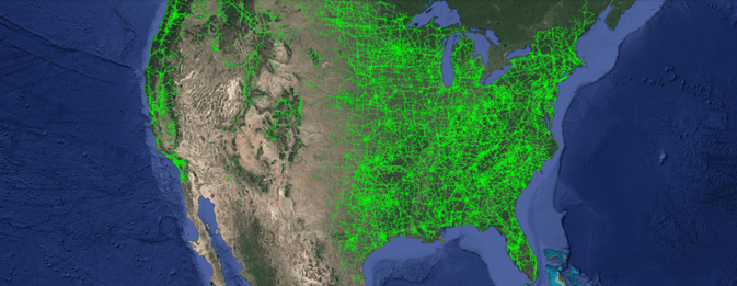
With LiveEO’s scalable architecture, more than 15,000 satellite images were gathered and processed to investigate vegetation encroachment on over half a million overhead lines, classifying vegetation within 90 feet on either side of the power-lines, and assessing potential threats using advanced analytic tools. In the last step of the process the length of every segment of the grid in the vicinity of vegetation was identified and compiled into the resulting analysis.
A new milestone in satellite data analytics for utility companies
The results prove that satellite data represents a viable alternative for vegetation management to Lidar or foot patrols. Additionally, the insights obtained with the analysis can be made actionable directly via their tool set of mobile and web apps, and API integrations to improve workforce efficiency in the field and to realize OPEX saving.
Besides the sole detection of vegetation distance from transmission grids, LiveEO is experienced in highly accurate and efficient investigations of vegetation height, condition, and species determination to improve cycle trimming activities and dangerous tree removal while reducing vegetation management costs on transmission and distribution levels. LiveEO is already helping utility companies to identify wildfire risk areas and inspect post-wildfire areas with high precision for fast recovery activities.


