“We are willfully destructive. That is the only conclusion one can come to when reviewing disaster events over the last twenty years.” That’s a quote from Mami Mizutori, the United Nation Secretary-General’s Special Representative for Disaster Risk Reduction, speaking in October 2020 after the UN published a report marking the International Day for Disaster Risk Reduction. Disasters, otherwise referred to at times as extreme weather events, are not a new part of life on Earth, and have been a fact of life before human life even existed. That said, these events have been rising in frequency in recent years, and with increasing effects of climate change being felt with each passing year, it’s only expected to become more common. Climate reform efforts will hopefully slow that trend moving forward, but in the meantime this is a reality for the global society moving forward.
While that sounds dire, and it’s certainly not a reality to be sugarcoated, the good news is that technological leaps are creating an increasing number of ways we can work to lessen the effects of these disasters. GIS technology, in addition to some other innovations under the broad geospatial technology umbrella, can be leaned upon for these efforts, with companies like Esri having specialized programs dedicated to these missions. This technology can be used to help in efforts in prediction, response, and learning from disasters to better prepare in the future while also helping reduce lives lost and damage for present disasters.
Predicting the future, to the extent possible
It’s important to note that we’re never going to be able to perfectly predict these natural disaster and extreme weather events. Their very nature of almost coming out of nowhere is the main reason they can be so disruptive. That said, just because we can’t perfectly predict when and where these events are going to take place doesn’t mean there should be no effort to have a better understanding of risks in certain areas. Technology like data from GIS or remote sensing from satellites.
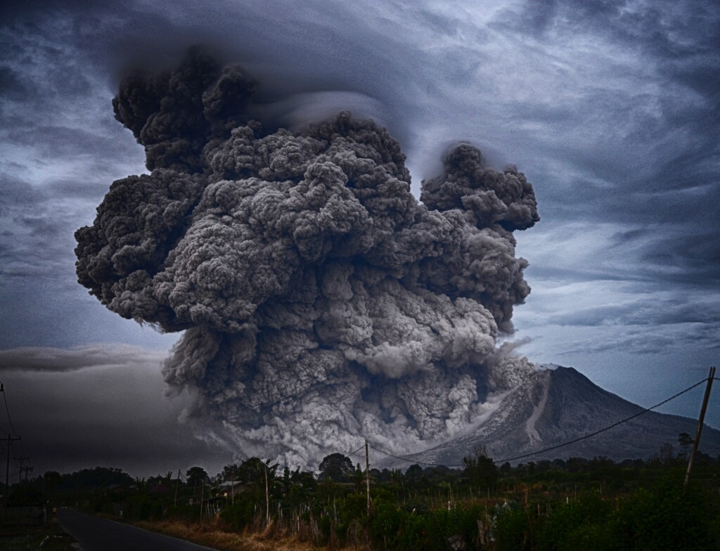
There are a number of examples to pull from in this realm, with two in particular we’re going to highlight in this space. The first is around the risk of volcanic eruptions, which absolutely fall under the category of being impossible to predict perfectly. Still, remote sensing has helped improve this process and identify when risk could be higher than normal. Remote sensing scientists utilized data by the Sentinel-2 and Sentinel-5P satellites of the European Union’s Copernicus Programme, working to gain a better understanding of “Strombolian volcanoes,” which sporadically erupt with varying levels of intensity. Studying the Stromboli Volcano (after which Strombolian volcanoes were named), off the coast of Sicily, scientists were able to monitor the venting of sulfur dioxide from the volcano, finding an association with eruptions. Being able to make this connection should allow nearby residents to evacuate the area before a potentially dangerous eruption.

We also see different prediction methods to help identify areas that are potentially at risk for landslides. In 2014, 43 people were killed in near Oso, Washington in the deadliest landslide in US history. That led the state to try and identify particularly risky areas, and they turned to airplanes equipped with lidar scanners to undertake this project. Given the technology’s ability to see through the heavy vegetation and scan the ground, they can produce high-quality imaging of the surface and identify past slides, which have been mapped to identify high-risk areas. This data is being used to assess hillside stability before timber sales, and also being made available to local governments for land-use decisions. There is still no way to know when a landslide might occur, but those in the area now have a better idea of their risk, which can hopefully prevent another event on the tragic scale of the 2014 landslide.
More effective response efforts
Even with the improving abilities to predict these events thanks to various technological innovations, it’s clear that there is still plenty of risk. We are nowhere near a point where we can avoid damage to property and, more importantly, injury and even loss of life. It’s not realistic to get to that point, so while the ramping up of efforts to better predict disasters is important, more important is being able to respond in the quickest and most efficient way possible. Again, technology is the key to making these leaps and ensuring that the damage is as small as possible after these events take place.
Again, we look at GIS mapping and remote sensing for this. Haiti is a good example of why having up-to-date maps is so crucial. In 2010, a devastating earthquake hit the nation leading to tragic loss of life. One of the big issues in the aftermath was the lack of accurate mapping for much of the nation, particularly in more rural areas. To help with this, GIS professionals used crowd-sourced mapping data overlaid with a satellite-created GIS map from those on the ground in the country, getting accurate maps for those areas and also identifying the areas that were most critically damaged and needed the most immediate help and integrating things like collapsed buildings and locations of medical centers.

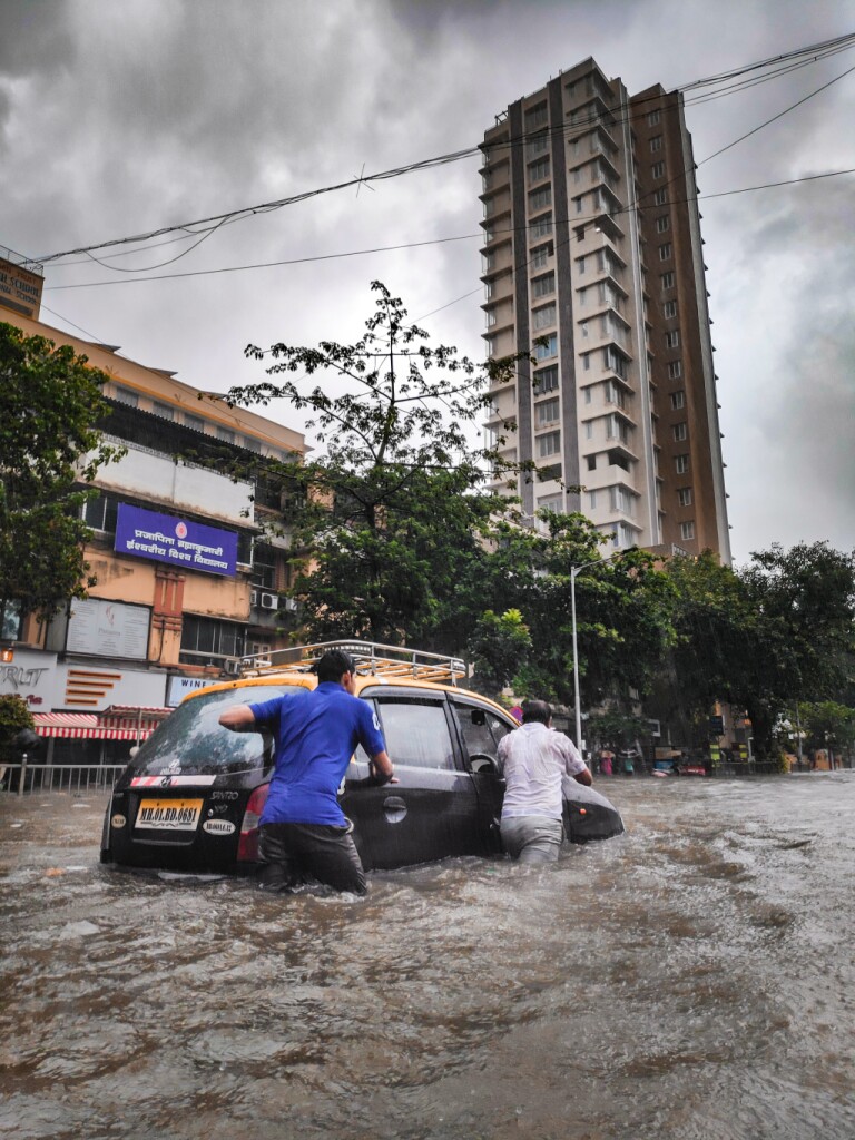
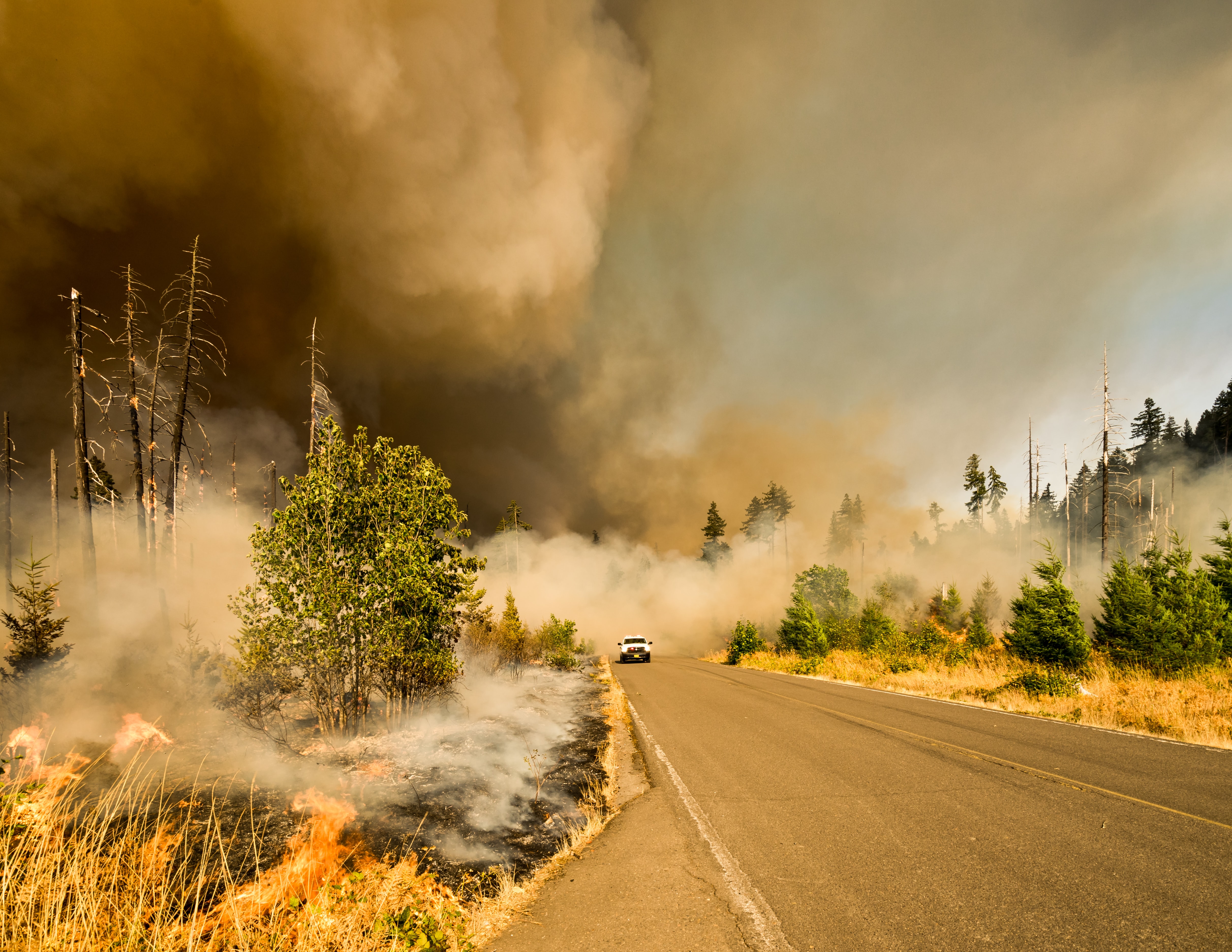
Many other disaster recovery efforts can be helped with this technology as well. Aerial surveying from airplanes and UAVs can be used for wildfires, which are becoming more common in the Western region of the US, tracking the progress of a fire and using data on wind to figure out what areas could be affected next. Similarly, we’ve seen lidar used in efforts to find the areas most in need of assistance after major floods. Even reality capture and digital twin technology can be used in post-disaster efforts, such as when Matterport donated their technology to assist those in Kentucky affected by tornadoes in getting more rapid insurance payouts for their damaged property.
Learn from the present to prepare for the future
Given the expectation that these events are going to continue to increase in frequency and scope, it’s important that focus is placed on preparing for future events. A lot of that preparation work will come from looking at past events and using that information to glean information that can be used in the future. This category is certainly a bit more broad, and in some ways can be more art than science, but GIS in particular can be helpful here. As an example, being able to plot past hurricanes and their paths on a map can be combined with machine learning and artificial intelligence to look at a newly-developing storm and have a better idea of what the storm path and strength will look like when it makes landfall. Similar methods can be used to to predict things like floods, earthquakes, and landslides. None of this will ever be 100 percent, but even moderate strides will save lives.


