

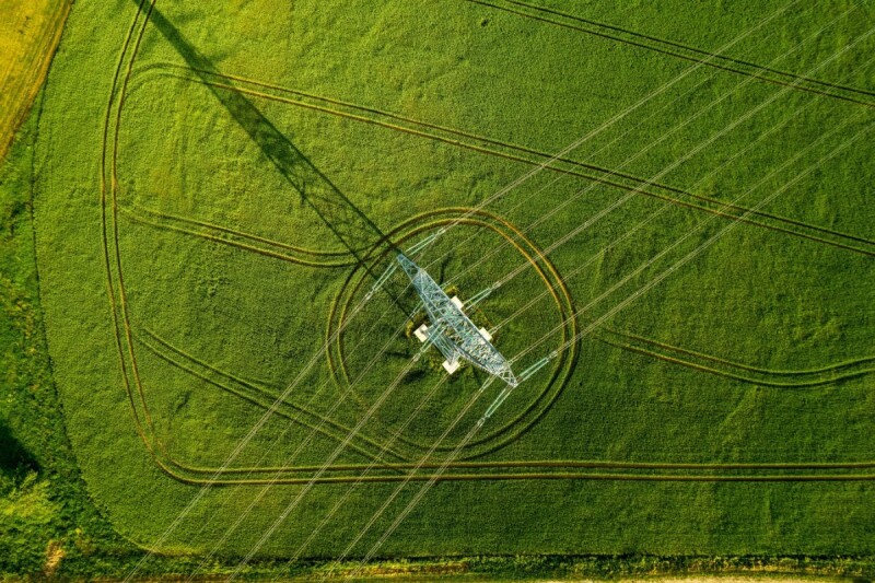
Corridor mapping is a key responsibility for the surveying community, as collecting lidar, imagery, or spectral data over long, continuous areas is essential for industries like energy, utilities, and transportation. Whether it’s for things like railroads, transmission lines, pipelines, or many of the other potential applications for this work, having that accurate and complete data is the first step in improving, maintaining, or replacing the existing infrastructure across these corridors.
When we talk about this work today, there are two main ways of collecting the data: Drones and crewed aircraft. It should be noted that this work does, at times, require ground-level data as well, so terrestrial mobile mapping scanners also play into it, but for the purposes of this article, we’ll focus on the two aerial systems. Today, there’s sometimes a perceived tension between crewed aerial surveyors and UAV operators, who may appear to be competing for the same projects. The truth, though, is that there are clear benefits to either system, and it’s less about which system is better than the other overall and more about which technique better fits individual projects and use cases.
For corridor mapping projects, there are a few distinct considerations that will dictate which platform is better suited for that individual use case. First, and perhaps most obviously, there is the overall scale of the project. If the corridor that needs to be mapped is extremely long – say, 100+ miles – using a drone probably isn’t going to be practical. That will require a lot of time to be able to fly that area, whereas it can be efficiently mapped with crewed aircraft.
There’s also the type and precision of data that needs to be collected. If it’s high-resolution imagery or low-to-medium precision lidar data, a UAV can be used to collect the data as they can handle that kind of payload and maintain flight efficiency. For high-powered lidar scanning, though, even as lidar systems have improved to provide more power in smaller form factors, it remains true, and likely will for a long time, that the systems that collect the densest data will need to be carried by crewed aircraft. We talk a lot about needing to understand the necessary level of data for a project before selecting a tool, and this is another example of that importance.
It’s important because, while crewed aircraft undeniably can collect more high-quality data for longer corridors, that type of distance isn’t always required, nor is the accuracy. In those cases, the UAV platforms provide their own advantages in terms of cost and even resolution, particularly on imagery. So, for example, if a survey project is for collecting imagery along a utility line in a rural area spanning a handful of miles, flying a drone over that is going to provide higher-quality imagery since it can carry high-resolution cameras and fly at a lower altitude. It’s also going to be faster to deploy and require a significantly smaller up-front cost. On the other hand, for a larger project, those up-front costs will be cancelled out by the costs associated with the need for more launches and more staff hours.
As communities around the globe start to think differently about our infrastructure, whether it be shifting how our energy and power is delivered in the age of AI, or encouraging more use of public transportation to counteract climate change by revamping rail systems, corridor mapping is a critical piece of that pie. Surveyors within both the crewed and uncrewed aerial sectors have a role to play. While it seems at face value that there should be an adversarial relationship between the two, the emerging truth is that both platforms provide their own strengths and weaknesses, and the ultimate landing place will be a cohesive, collaborative relationship between the two fields.

