When a tornado tore through St. Louis in May 2025, emergency responders faced the familiar chaos of disaster response: damaged infrastructure, displaced residents, and the urgent need to assess what remained standing. But in the aftermath, something different happened. The aerial imagery and digital twin data collected during those first critical hours didn't just guide immediate recovery, it became the foundation for how the city would plan for the next storm.
This is the new reality of climate adaptation, where the line between crisis and preparation has blurred into a continuous cycle. Extreme weather events are no longer anomalies that cities recover from and move on. They're recurring pressures that demand communities rethink emergency protocols and long-term infrastructure investments. Geospatial technologies are positioned to have a major role in this transformation.
The Geo Week 2026 session Geospatial Readiness for a Changing Climate brings together four distinct perspectives on this evolution. Scheduled for February 18 from 1:30 to 2:30pm in Denver, the session traces how high-resolution imagery, UAV data collection, and AI-driven analytics are being deployed not in controlled research environments, but in the messy, time-sensitive, data-constrained reality of climate response.
Jamie Reford of Phase One and Scott Merritt of Surdex Corporation will walk attendees through that St. Louis tornado response, revealing how the same data that helped assess damage in real-time later informed municipal planning decisions months down the line. Their case study illustrates a fundamental shift: emergency response data as future intelligence.
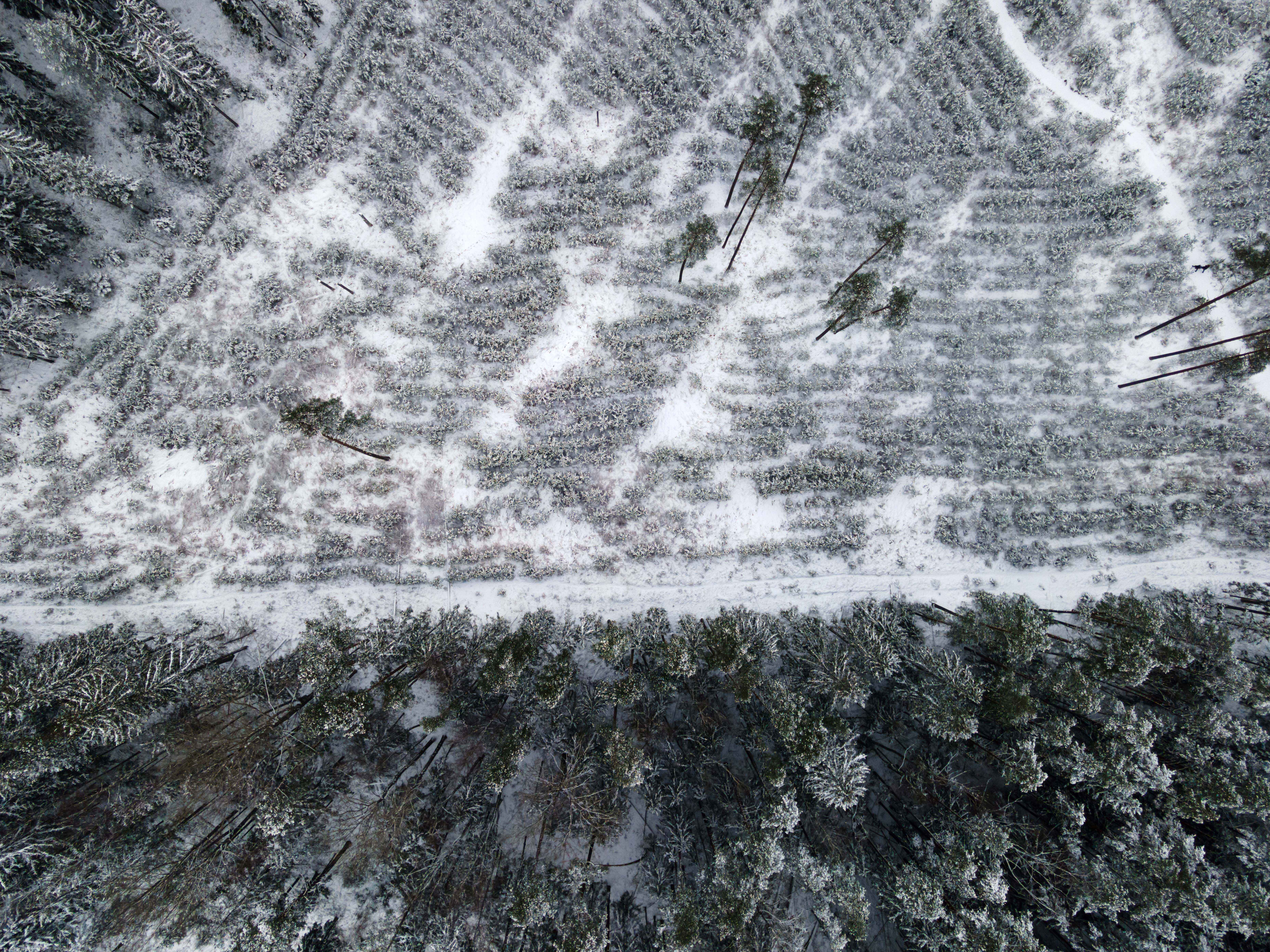
The perspective shifts to mountain terrain with Grace Braver of East Tennessee State University, who studied the landscape-altering aftermath of Hurricane Helene in 2024. In East Tennessee's Nolichucky headwaters, her team used ArcGIS Pro's integrated machine learning tools to predict where slopes might fail and which infrastructure faced the greatest risk. The work demonstrates how rapidly evolving GIS technology is making sophisticated hazard assessments accessible without requiring teams to build custom coding solutions from scratch.
Urban environments face their own climate challenges, as Arkadiusz Szadkowski of Esri and Kamil Wojcik of IGI Systems will show through their reality mapping approach to heat exposure. By combining thermal imaging with 3D city models and GIS analytics, they've created a way to visualize not just where heat accumulates in cities, but who bears the burden of that exposure, giving planners concrete data to support mitigation decisions in densely built environments where options are already constrained.
The session closes with a view from the construction site. Eric Ebert of Falcon Unmanned Systems works with solar installation projects where weather doesn't just threaten completed infrastructure, it actively shapes the construction process itself. Daily drone photogrammetry from dock-based systems tracks how storms reshape grading, create drainage problems, or force work to be redone.
"Climate change affects solar construction in tangible ways - erosion after storms, standing water, work requiring redoing," Ebert explained. "Daily, dock-based photogrammetry enables teams to identify these changes immediately and address problems proactively, rather than responding after schedules and budgets have already been compromised."
What connects these varied applications is continuity. Data collected under pressure during a tornado response informs years of planning. Landslide predictions protect communities before the next hurricane. Heat maps guide urban redesign. Construction monitoring prevents costly delays. Each workflow represents a bridge between immediate crisis and long-term resilience, built on geospatial technology that's evolving to keep pace with environments that change faster and less predictably than before.
Geospatial Readiness for a Changing Climate offers attendees a ground-level view of how these tools are being used today across sectors and geographies facing fundamentally different climate challenges, all working toward the same goal of turning reactive response into proactive preparation.
Geospatial Readiness for a Changing Climate takes place February 18 from 1:30 to 2:30pm MT in Bluebird Ballroom 1B at Geo Week 2026