
Intermap’s World 30 product up to 3x more accurate than NASA’s Shuttle Radar Topographic Mission digital elevation models
Intermap Technologies said sales of its NEXTMap World 30 geospatial product reached $1.2 million last year, over 15 times 2012 sales.
Based in Denver, Colo., Intermap sells on-demand geospatial products from high-res 3D digital models of the earth’s surface with its secure, cloud-based Orion Platform, which provides location-based services to customers and provides a foundation data layer for its web-based 3D Business Intelligence (3DBI) applications including flood planning, advertising, telecommunications and risk management.
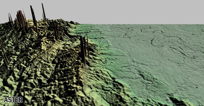
The company refers to World 30 as the “first and only seamless digital map of the entire earth with a global, seven-meter accuracy. In fact, Intermap said the latest version of the World 30 product, rolled out in August, is up to three times more accurate than competing global Digital Elevation Models (DEMs) such as NASA’s Shuttle Radar Topographic Mission (SRTM) data and Advanced Spaceborne Thermal Emission and Reflection Radiometer (ASTER) Global Digital Elevation Model (GDEM).
“One of the most exciting features of our World 30 product is that it can be purchased, downloaded and used in the same day,” said Todd Oseth, Intermap CEO. “We’ve also started to see World 30 purchases as the first step in the implementation of larger Orion-based spatial data infrastructure projects around the world.”
The company cites three key benefits of World 30:
- Accuracy: The improved World 30 v2.0 DEM utilizes over 204 million ground control points with an accuracy of 25cm RMSE or better, to control the vertical elevation of an aggregated surface model derived from ASTER GDEM v2, SRTM v2.1 and GTOPO30. The corrected DEMs were combined with Intermap’s proprietary data fusion technology, to create a seamless, void-filled and consistent dataset with a global accuracy of 7 meters RMSE.
- Coverage: Intermap has applied its extensive terrain elevation knowledge and data fusion capabilities to create an application-ready product for the entire globe. All voids or anomalies found in the native SRTM or ASTER data have been meticulously removed and repaired in the World 30 dataset.
- Access: Data is available instantly: (1) via the cloud as an Open Geospatial Consortium (OGC) compliant Web Map Service (WMS) or Web Coverage Service (WCS) dataset, (2) via API, or (3) for purchase at Intermap’s WebStore. A sample of NEXTMap World 30 v2.0 can be found here.


