Reality capture is a powerful tool across a variety of different workflows. Most commonly, it is used to help give a better understanding of our built world and streamline projects in the AEC sector, whether it’s monitoring the progress of an ongoing project, collecting initial data to figure out next steps in a renovation or retrofit, or inspecting critical assets. We are also seeing the technology be used more and more in the entertainment space, both for film and television as well as the gaming industry, something that will only become more popular in the coming years.
Consistently, though, the ways that reality capture most often break into the mainstream consciousness are when it is used to preserve and better understand our history. Even moving away from reality capture and into lidar mapping, the technology has been used to help discover remnants of previously unknown ancient civilizations. Reality capture workflows have also been used to capture data for historically important structures and assets, which can be used for a variety of reasons. Perhaps most famously, reality capture data of the Notre Dame Cathedral in Paris was a crucial part of the rebuild efforts following a devastating fire in 2019.
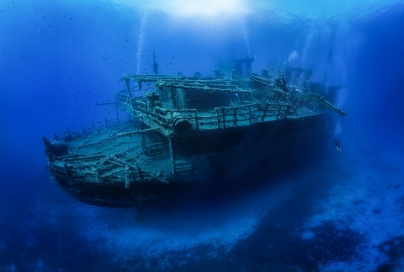
More recently, another reality capture project broke into the mainstream, and this one had an extra wrinkle that we don’t see much in this industry – it took place at the bottom of the ocean. In 2022, a deep-sea mapping company, Magellan, took its surveying equipment down over 12,000 feet to the bottom of the Atlantic Ocean to create a detailed 3D model of the Titanic. The images were first released in 2023 and, more recently, were featured in a National Geographic special, Titanic: The Digital Resurrection.
This work has resulted in the most detailed recreation of the famous ship’s demise to date, with the capture including both halves of the ship that was torn in two as it sank to the bottom of the ocean. The scan includes over 700,000 images from all angles, which, when combined, create a highly detailed model that can be virtually explored and bring to light confirmation of many stories from the disaster, as well as other fun findings.
Perhaps most notably, as outlined in this story from ITV, images show a gold necklace in the wreckage, leading many to remember the necklace at the heart of the movie Titanic, though that necklace was created just for that film. Still, Magellan CEO Richard Parkinson is quoted in that story as calling the find “astonishing, beautiful, and breathtaking.”
Diving a little bit deeper into the specifics around how Magellan was able to create this model, project manager Doug Scott told Geo Week News that the team utilized both laser scanners and the Voyis Observer Imaging system, which were integrated onto an uncrewed survey skid. He also noted that there are extra challenges that come with a subsea scan in comparison to terrestrial projects.
“One of the challenges of scanning subsea is the limitations on positioning accuracy, and with the inability to build a real-time coverage map as you would with, for example, Pix4d on smaller terrestrial objects. This required a combination of experienced pilots, with constant monitoring by the onboard photogrammetry team to ensure all angles were covered.”
This was a massive project that, Scott tells Geo Week News, required processing to take place with teams across two continents and three countries to ensure that processing could happen continuously. The end result is the most detailed scan we’ve ever seen of the most famous shipwreck in the world. The Titanic has long captured the imagination and curiosity of the entire world, and while we may never know everything about those final moments after the famous ship struck that iceberg, with the help of Magellan and reality capture workflows, we have more information than we’ve ever had before.