Thanks to a renewed push from governments and localities seeking to understand vulnerable and valuable coastal areas, as well as some innovative technological leaps, bathymetric lidar has recently become a hotbed for development and innovation.
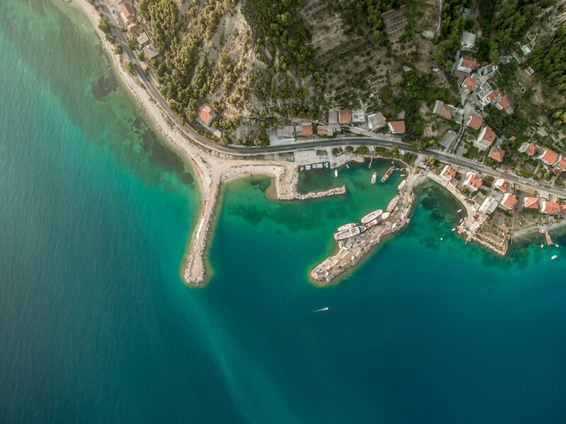
Beyond simple water depth measurements, bathymetric lidar can be used for planning coastal development, disaster recovery, environmental classification, erosion studies, and a variety of water quality and hydrodynamic applications. Being able to monitor sensitive ecological areas as well as the ways in which the built world and its infrastructure interact with seas, rivers and other bodies of water is now more possible than ever.
Lidar-based bathymetric surveys are increasingly conducted from the air, increasing the speed and coverage compared to ship-based methodologies, and sensor developments have made the data collected via these means even more accurate. Getting a clear signal through the water column (and everything present within it) may be difficult, but new solutions and methods are helping to extract better and clearer data with each survey.
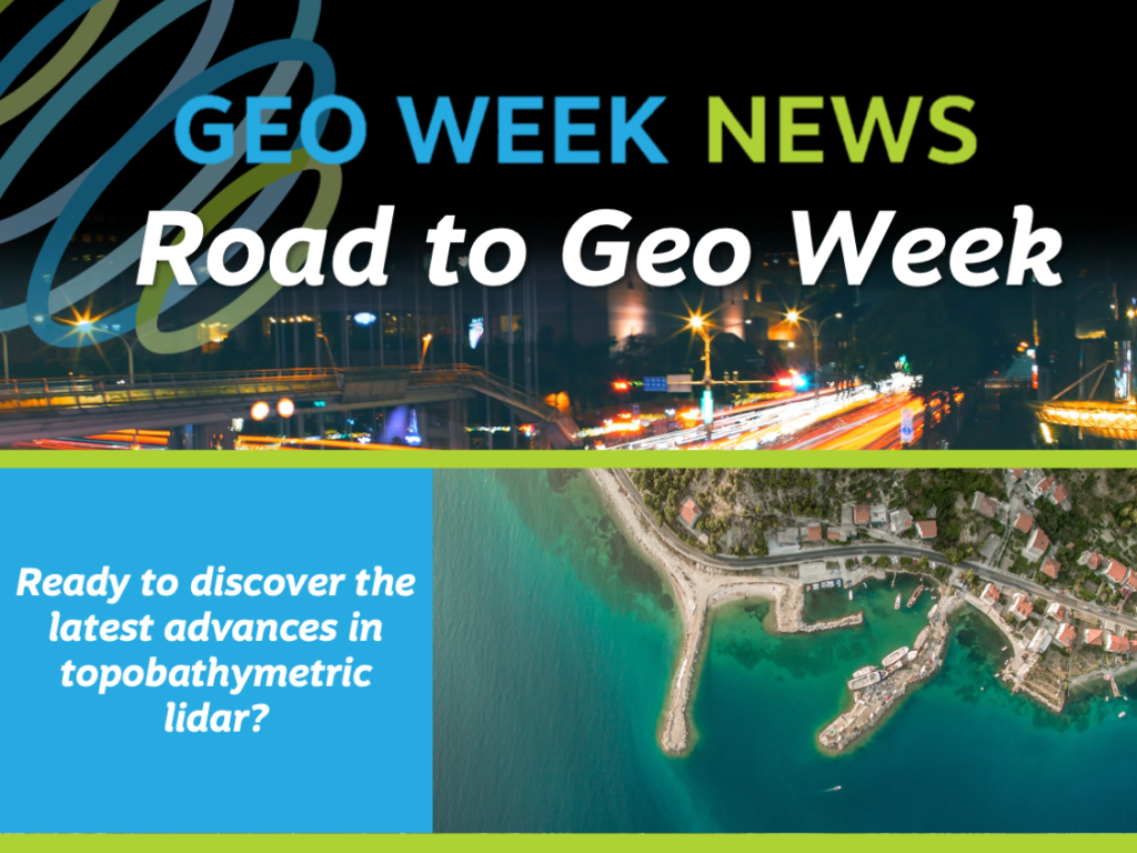
In pursuit of these advances, the conference program for Geo Week will feature a session on the Latest Advances and Applications in Topobathymetry on Sunday, February 6 at 1:30pm MT.
Moderated by Senior Vice President of Dewberry and Geo Week Advisory Board member Amar Nayegandhi, the session will include presentations showcasing the latest performance of topobathymetric scanning hardware, the potential of full waveform analysis for water bottom detection, and an evaluation of topobathymetric lidar point density for object detection.
Confirmed panelists include:
- Gottfried Mandburger, senior researcher at TU Wein Department of Geodesy and Geoinformation
- Frank Steinbacher, CEO Airborne HydroMapping GmbH
- Tim Webster, research scientists at Applied Geomatics Research Group, NSCC
This technology is especially well-suited for capturing medium-sized clear water rivers and constitutes a cost-effective alternative to topo-bathymetric acquisition from a manned platform. Additionally, airborne topo-bathymetry using a green wavelength has established as a state-of-the-art survey technology for shallow water areas along coasts, lakes and rivers. These presentations will answer your questions about depth, penetration, accuracy, real-world performance and what challenges still remain.
To join us on the Road to the Geo Week, sign up for attendee announcements, or information on reserving a booth or continue to follow the Road to Geo Week.