

Last week, Planet Labs, a provider of global satellite imagery and corresponding insights, announced the release of their latest offering. Their Forest Carbon Diligence product was made available globally in early November, and provides a 30 meter historical time series of forest carbon around the world, along with tree height and cover. In their release of the news, Planet says the product “is a groundbreaking data product that aims to provide unprecedented insights into forest change and carbon stocks - a crucial tool for ensuring accurate carbon accounting.”
With an increasing focus around the world in properly tracking carbon, gaining accurate and accessible insights into forest carbon is a crucial piece of that work. However, as Planet points out, doing so in more traditional ways through field work and/or airborne lidar can be extremely expensive and is not a workflow that can be scaled globally. The company is hoping that this kind of offering can help counteract concerns around resolution, accuracy, frequency, and scalability.
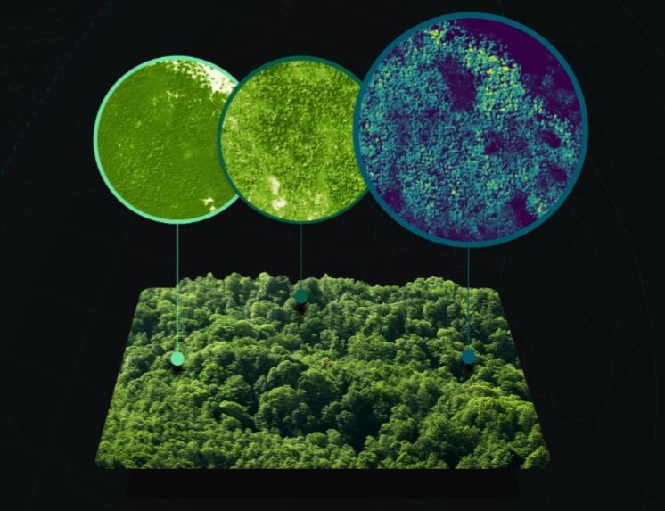
The Forest Carbon Diligence product is powered by Planet’s PlanetScope data, while also being modeled and validated with lidar reference data. With the data, users can evaluate historical trends, create dynamic project baselines, and quantify carbon stocks, and can do so on areas as large as national levels and as small as individual trees.
Dr Phil Platts, Director of Geospatial and Earth Observation at BeZero Carbon, a global carbon ratings agency and Planet customer, shared in a statement: “Planet's Forest Carbon datasets will be an invaluable addition to our cutting-edge geospatial analysis and methodologies. This 30 meter global time series of forest height, tree cover, and carbon will help customers continue to make more informed carbon credit investments."
Planet says that their dataset will “make it easy to analyze every hectare of forest and woodland, anywhere on Earth,” pointing towards a few different selling points. Firstly is the frequency of the imagery, with annual imagery from the past decade of a given area which will allow users to compare and analyze change over time. They also utilize deep learning models to ensure high accuracy of data, with those models “trained and validated on a massive global library of airborne lidar totalling more than 14 million square kilometers.”
The company also points out that this is just the beginning of their offerings to track forest carbon. They say that the release of their Forest Carbon Monitoring product will come “in the calendar year 2024.” This release will provide three-meter resolution of forests around the world, and they say that this data will be released on a quarterly basis.
With Planet also touting their transparent pricing on these offerings, it’s worth pointing that out. For the Forest Carbon Diligence data, users will pay $0.10 per hectare, while the upcoming Forest Carbon Monitoring will cost users $0.25 per hectare. There will also be an offering that includes both datasets, though that price is not listed on the website.
“This dataset brings to market a 10-year archive of forest carbon globally that’s highly accurate, affordable, and scalable, helping to solve long-standing challenges associated with measuring forest carbon stocks,” said Planet co-founder and CEO Will Marshall in a statement. “This is especially important as new regulations push companies and countries across the world to balance their carbon books. The first step in meeting this challenge will be obtaining objective measurements, and with this capability Planet believes we can underpin global carbon markets – and thus help accelerate the world’s transition to a sustainable economy.”


