
Orbit GeoSpatial Technologies today announces to showcase UAS LiDAR Mapping productivity tools at the RIEGL UC in Hong Kong, May 4-7.
“Orbit GT has been early adopter of Mapping using UAS systems. With the arrival of LiDAR mounted on a UAS, dedicated tools are what our customers need today “, says Peter Bonne, CEO of Orbit GT. “RIEGL’s RiCOPTER and Orbit UAS Mapping tools are a perfect match for top quality and productivity which we’ll showcase at RIEGL’s UC.”
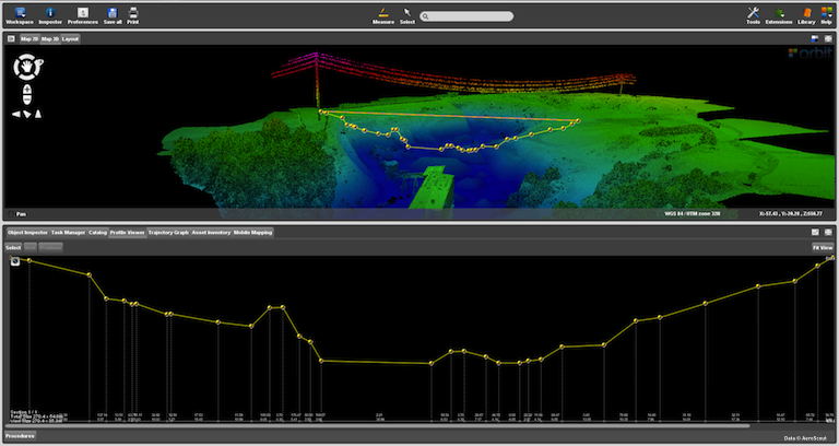
Supporting UAS Mapping since 2007, Orbit GT has a long history and experience in UAS needs. A wide variety of UAS Mapping products now addes tools for LiDAR platforms. Orbit UAS LiDAR Mapping tools include the creation of Profiles, calculation of Volumes and Volume differences, Contour Lines, Clash Detection and more.
About Orbit GeoSpatial Technologies
Orbit Geospatial Technologies is world leader in solutions for exploiting Mobile Mapping, UAS and Aerial Mapping data in managing, viewing, extracting, publishing, sharing and embedding in workflows. Orbit GT is headquartered in Lokeren, Belgium.


