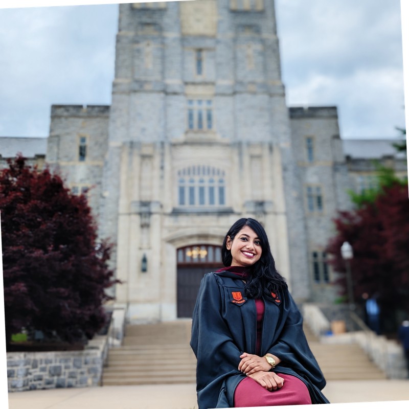
Samrin Sauda grew up in the densely populated country of Bangladesh, a place that sits at the crossroads of rivers, floods, and climate vulnerability. That upbringing didn't just shape who she is; it shaped what she does today. As a PhD candidate in geography at Penn State University and a 2025 GeoEmpower Scholar, she's using geospatial science, remote sensing, and research to study compound floods and build tools that help communities prepare before disaster strikes.
A Personal Connection to Natural Hazards
"Growing up in that environment made me aware, from a very young age, how environmental hazards affect homes, livelihoods, health, and long-term community resilience," Sauda explains.
That early awareness drove her toward geography as a discipline, and eventually toward the geospatial technologies she now uses every day. She completed her undergraduate studies in geography before moving to the United States in 2021, enrolling at Virginia Tech to pursue a master's degree. There, her research focused on how rainfall evolves during hurricane landfalls. That work sharpened both her technical skills and her understanding that extreme weather follows patterns we can study and predict. In 2023, she moved to Penn State to begin her PhD with a focus in compound floods.
The Complexity of Compound Floods
Compound floods occur when multiple flood drivers like heavy rainfall, high river discharge, or elevated sea levels, happen simultaneously. These events are particularly dangerous because traditional single-driver flood models often fail to capture their full impact.
"I’m currently studying those kinds of complex flood phenomena," Sauda says. "My work emphasizes characterizing compound floods and also improving prediction, specifically in the southern coast of the United States."
Her research integrates geospatial science, remote sensing, and machine learning to better understand where and when these events are likely to occur, and ultimately, to improve early warning systems for vulnerable communities.
Geo Week 2025: Seeing the Bigger Picture
Attending Geo Week 2025 as a GeoEmpower Scholar was a turning point for Samrin not just professionally, but personally.
"Before attending, I mostly thought about geospatial tools through the lens of environmental science and hazard modeling," she says. "But at Geo Week, I saw how geospatial technologies are being applied across so many sectors - infrastructure, emergency response, utilities, transportation."
The experience pushed her to think differently about her own work. "Geospatial research becomes more powerful when it is translated into tools that people can actually use - people outside of academia." She now thinks not just about building accurate models, but about how her results can be mapped clearly and communicated effectively to planners, emergency managers, and affected communities.
The human dimension of Geo Week also left an impression. "As a GeoEmpower Scholar, I felt like the program was not just about technical learning, but also about leadership and representation in the geospatial field. Seeing professionals from different backgrounds made me feel like there is room for people like me, a woman and a hazard researcher, to contribute meaningfully."
Leading Through NASA DEVELOP
One of Sauda’s most formative experiences outside academia came through NASA DEVELOP, where she served as project lead on a water quality study of the Yampa River Watershed in northwestern Colorado. The watershed, which supplies drinking water to much of the western United States, had been increasingly impacted by harmful algal blooms.
Her team used satellite data and in-situ water quality measurements to track degradation trends and identify environmental conditions linked to algal bloom triggers. However, leading the project taught her lessons that went far beyond the technical.
"Research is not just about producing analysis, it's also about communication, accountability, and collaboration," she reflects. "One of the biggest lessons I learned was how important it is to translate technical findings into a language that everyone can understand and use. Our partners were more interested in practical information about the water quality, not what methodology or dataset we were using."
That experience, she says, made her a more confident and effective collaborator, which are skills that carry directly into the independent and team-based demands of doctoral research.
Research With Real-World Impact
Looking ahead, Sauda’s goals are unambiguous: she wants her science to serve people.
"The real-world impact means geospatial research is more understandable, more accessible, and more useful for decision-making, especially in flood-related research," she says. "It's not enough just to build models. We also need to think about how those results can actually help people prepare, plan, and reduce risk."
She envisions geospatial visualizations like maps showing compound flood hotspots and vulnerable zones that planners and emergency managers can act on. She's also focused on using satellite datasets and machine learning to fill data gaps in regions where ground-based monitoring is limited or absent, ensuring that under-resourced communities aren't left out of flood prediction frameworks.
"Communities most affected by climate hazards are often the least resourced," she says. "I want my research to contribute to a more equitable disaster preparedness and resilience."
A Scholar Shaped by Community
Throughout the interview, Sauda was filled with gratitude - for the GeoEmpower Scholarship, her history, for the questions that helped her reflect on her own path, and for a growing geospatial community she now feels part of.
"Being selected as a GeoEmpower Scholar was very meaningful to me. It made me more connected to the broader geospatial community and helped me see how my work fits into a larger movement toward using geospatial technology for resilience, equity, and better decision-making."
From her motivation in Bangladesh to the research halls of Penn State, Sauda’s journey is a testament to what happens when personal experience meets scientific rigor, and when a field makes room for the voices it needs most.