
NavVis has announced a free upgrade to its IndoorViewer application that automatically renders immersive 360° imagery from structured E57 point clouds.
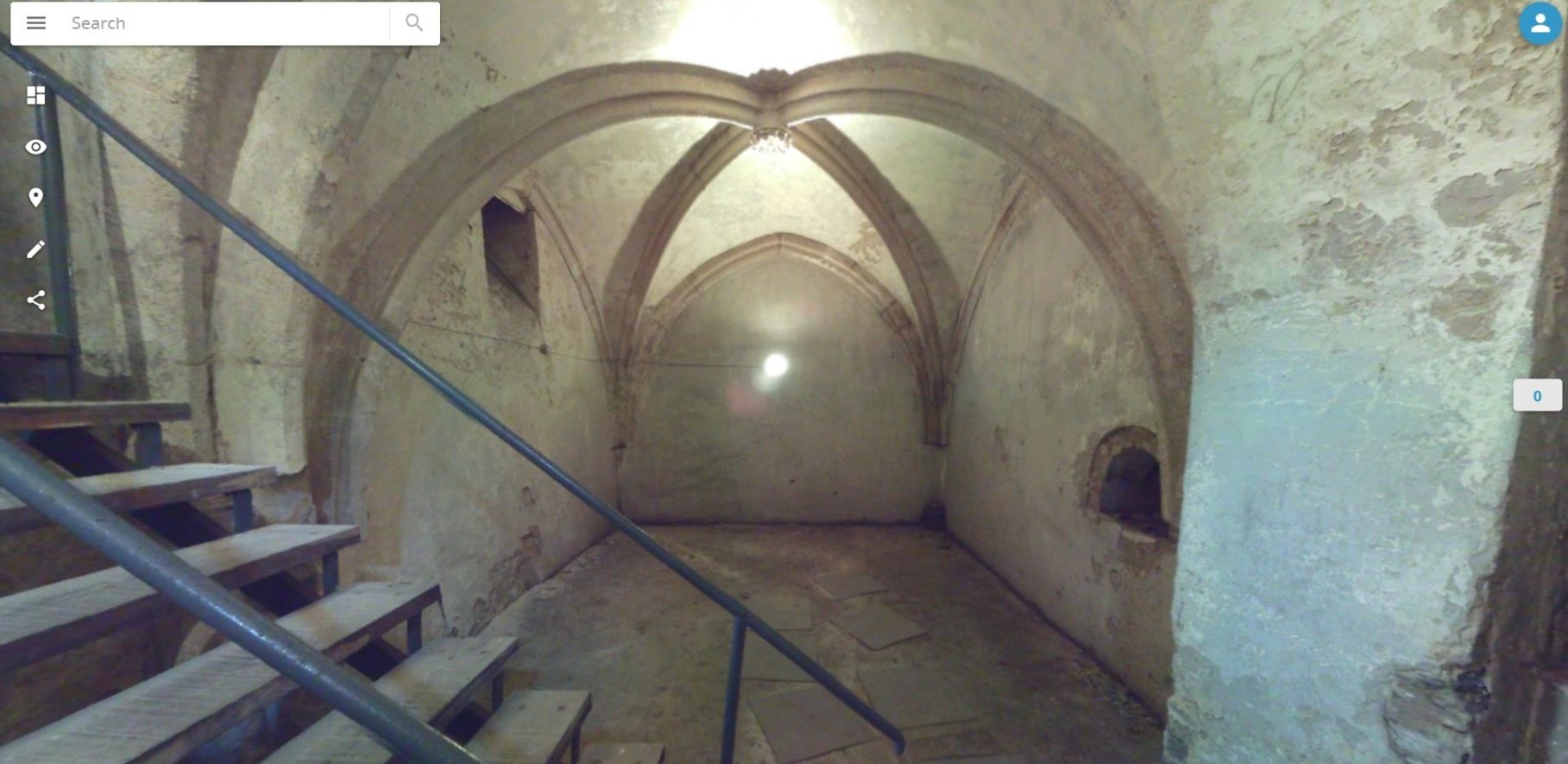
IndoorViewer is a web-based application built to display digital twins using point clouds, 360° panoramic images, and maps generated by 3D scanning devices. The company notes that while the application supports point clouds captured by third-party devices, a “key component” of the experience is 360° imagery (which is offered by NavVis’ own capture hardware). The new feature is intended to offer users of any third-party terrestrial scanners a method for producing 360° imagery and walkthroughs automatically, as well as a simplified workflow for sharing 3D data online.
The benefit of 360° imagery is that users do not need special software to download or view it, and it is more intuitive to navigate than a raw point cloud. As such, NavVis sees the new function as increasing the number of stakeholders who can access and understand the 3D data. “In recent years,” says president Felix Reinshagen in an official statement, “we have seen that making scan data available to every building stakeholder is fulfilling an unmet need.”
The one catch is that the data must be structured, or gathered by a terrestrial laser scanner.
For more information, see the company website here.


