

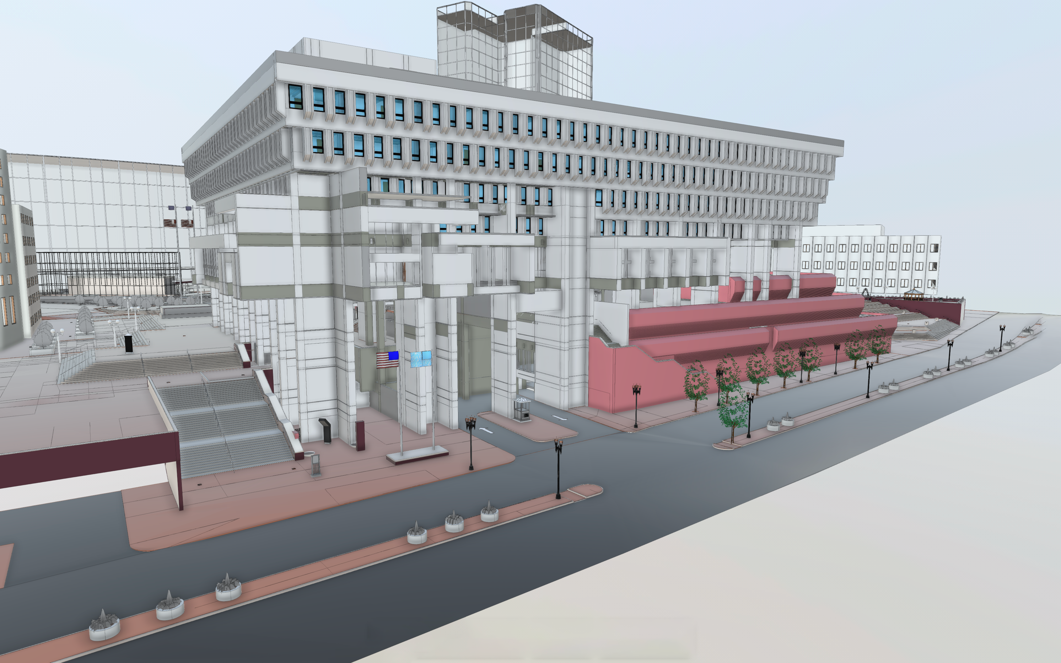
Boston City Hall was rebuilt in 1968, and immediately became one of the more polarizing buildings both locally and on a larger scale among architects. Built in the Brutalist style of the modernist movement in architecture, it is a large concrete building that some in the area love and other, well, don’t. About 50 years later in 2017, the city decided they needed to make the building more accessible and more broadly used by citizens in the area, and that the building would be modernized. And as a first step for that process, they realized they needed an accurate 3D scan of the entire building – both interior and exterior – in order to have an accurate accounting of how things are in the present.
This was no small project for BIMstream, the firm who were selected by the city to complete this scanning project. The building itself consists of nine stories with many individual rooms, and the project also accounted for the large plaza area outside the building. The sheer scope of the project meant there was some potential for this to take months to complete accurately, but BIMstream was hoping to find a way to complete this project while minimizing the amount of disruption they’d present to the day-to-day operations of the building. Because of all of these factors, they decided a mobile mapping solution would provide the best combination of speed and accuracy, and specifically they turned to lidar scanners from Simultaneous Localization And Mapping company GeoSLAM.
Specifically, BIMstream used two pieces of hardware from GeoSLAM, the ZEB Horizon and the ZEB Revo RT. The former was used to scan the exterior of the building along with the inside of the Main Hall, while the latter was used to scan the rest of the building’s interior. They key for these mobile mapping scanners is that, rather than needing to set up stationary scanners in various points in the building continuously until all necessary angles are captured, users can simply walk the portable scanners through the building, saving considerable time. This was particularly important for this project, which ended up taking place during the pandemic, meaning they had to spend as little time inside as possible.
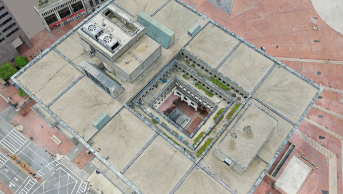
They were indeed able to cut down significantly on time using these two scanners from GeoSLAM, especially compared to the potential months-long timeframe without mobile mapping. Using the ZEB Horizon, the team was able to scan the exterior of the building along with the interior of the Main Hall in less than two hours, requiring only four scans total. With the scanner’s 100-meter range, it was a logical choice for the Main Hall and its high walls.
As for the rest of the interior, including the individual rooms throughout the building, the team was given limited amounts of time to complete that portion in order to limit the amount of disruption to city workers. They were still able to finish that portion of the project in a favorable time line, needing only four five-hour sessions at night to scan the nearly one million square foot interior of the building. That’s less than 24 total hours between the two scanners to complete this entire project.
After all of the necessary scans were complete, the BIMstream team processed data from both scanners using GeoSLAM Hub and created one point cloud. This was ready within a week of the scans, with a BIM model eventually being created and sent to the architects. Having this model was especially crucial during this time, as having the accurate data from the GeoSLAM scanners ensured they could begin the process of redevelopment and renovation around Boston City Hall without needing to constantly visit the site during the pandemic. The final BIM model continues to be referenced to this day for any redesign work.
The pandemic disrupted workflows across nearly every industry and led to countless innovations to change the way we work. While SLAM and mobile mapping technology wasn’t created during the pandemic, projects like this one show how helpful it could be for scanning projects throughout this time. With scanners, like the ZEB Revo RT and ZEB Horizon from GeoSLAM, improving their accuracy at a rapid pace, the speed advantage they provide can totally change the game for scanning teams, as with BIMstream needing less than 24 hours total scanning time to complete this Boston City Hall project.


