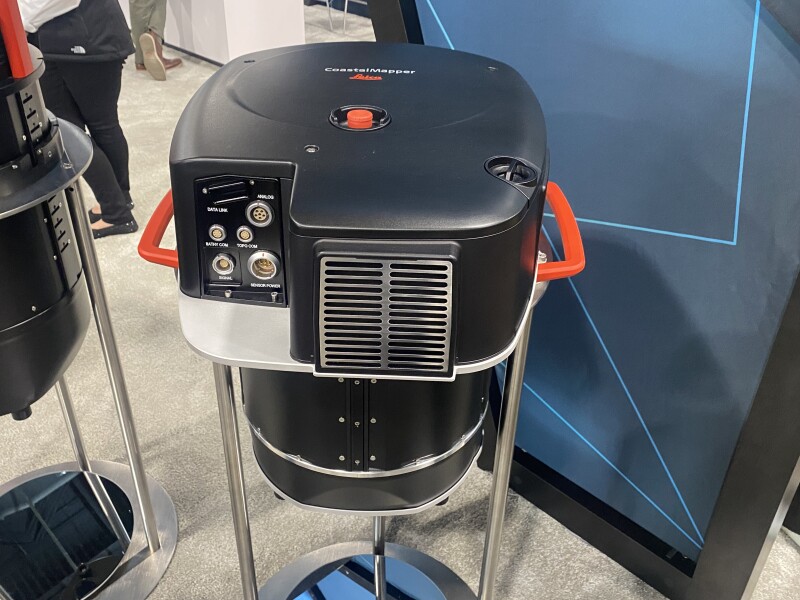
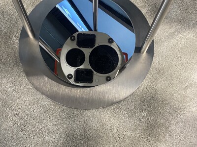
Last week, Leica Geosystems, part of Hexagon, announced what they believe to be a revolutionary new product for the bathymetric surveying community with their new Leica CoastalMapper. The airborne lidar system is their latest generation of bathymetric scanner, following on Leica Chiroptera. Like the previous generation, the CoastalMapper includes both bathymetric and topographic lidar systems, with this new sensor also including two high-resolution cameras. All told it collects one million data points per second with the bathymetric lidar sensor and two million per second with the topographic lidar, all while collecting imagery at a five-centimeter ground sampling distance (GSD) at common flying heights.
Geo Week News was able to connect with Hexagon’s Anders Ekelund, the company’s vice president of bathymetric lidar, at Geo Week 2025 to talk a little more about the CoastalMapper and how he believes it could really “revolutionize” the industry. For him, the most important takeaway from this new system, which he expects to be ready to start going out to customers in about six months, is the expected 250 percent increase in efficiency. The CoastalMapper, compared to the Chiroptera, has a wider field of view and can also support flights at higher altitudes, allowing for fewer flights to be taken and more projects to be completed by the end user, leading to significantly more revenue.
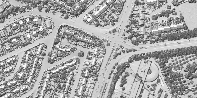
In particular, it seems as though the inclusion of the Hyperion3 topographic lidar system – the same sensor in the company’s CountryMapper system, which was released in 2023 – along with those higher flight times could really change the way bathymetric surveying is done. With the powerful topographic lidar system, more than just the coastline can be completed. Ekelund noted that in cases where the water is not in the right condition to be scanned, users have the flexibility to then scan the surrounding land area – at much higher altitudes than with the Chiroptera – before coming back to the coast when the water is more suitable for scanning.
Additionally, the higher flight altitudes open up more potential use cases, particularly for inland waterways. Ekelund noted how river mapping has become more common and more frequent around the world, and these terrains can often be more complex to fly than coastlines, with mountains and steep terrain requiring higher flight altitudes. That is now supported with the CoastalMapper.
In addition to coming in at roughly the same size as the Chiroptera, and fitting into the same spot on an airplane, for the first time, Hexagon will be developing a helicopter mount for the CoastalMapper. Ekelund said that some customers made their own for the previous generation, and now Hexagon will be able to provide that to navigate these more complex terrains.
As of now, Hexagon is still doing their testing for the CoastalMapper internally, but have done enough tests that they are confident to send out the specs for the system now. Ekelund does mention that they will be doing customer demonstrations as well at some point down the line. Since the announcement last week, though, he says that based on the feedback they’ve gotten he sees this system being “disruptive,” enhancing the markets that are already taking advantage of these powerful, airborne bathymetric lidar sensors and potentially opening up new ones as the lidar becomes more accessible and meets more potential use cases.
The CoastalMapper is on display at Hexagon’s Geo Week 2025 booth, number 1121, for those in Denver to check out in-person, with the team on hand to answer any questions.