
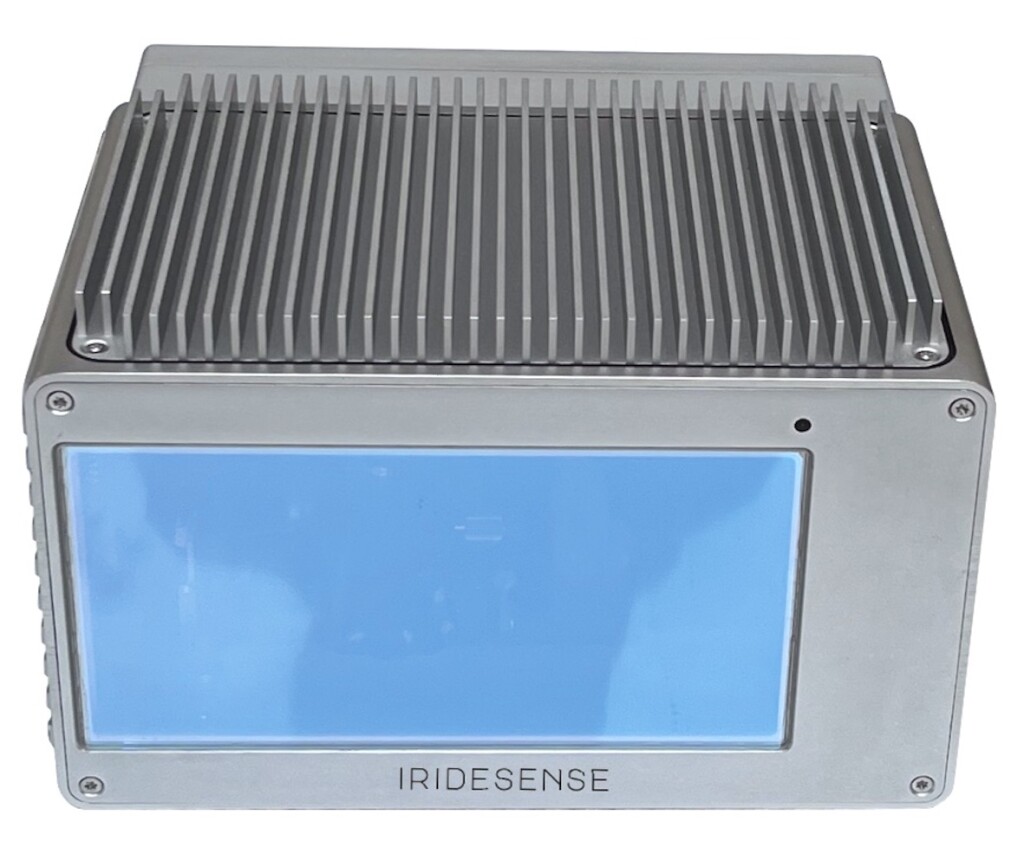
At CES 2024, IRIDESENSE unveiled the first 3D Multispectral LiDAR (Light Detection and Ranging) sensor capable of analyzing plant health and soil humidity levels remotely in real-time. This new application of LiDAR by IRIDESENSE aims to improve crop yields and resource management by optimizing irrigation, water and pesticides consumption. Other applications, such as industrial quality control and forest management shall also be showcased.
Precise, immediate and comprehensive feedback applied to a global agricultural and ecological contexts
IRIDESENSE’s LiDAR, the first Multispectral LiDAR device in the world, is the first sensor to potentially enable such remote measurement, allowing outdoor usage in all types of weather or lighting conditions. Its 3D imagery also makes it possible to monitor plant growth.
This will allow IRIDESENSE to offer farmers a robust perception solution for optimizing water and pesticides supply, monitoring tree growth and health in orchards and other agricultural operations. In the long-term, it will potentially save millions of liters of water and pesticides annually in the United States, by improving water allocation between different actors, all while providing farmers with the means to monitor and steer their operations in an objective manner.
In collaboration with GeoCue, a leading US-based actor in 3D LiDAR mapping, IRIDESENSE will soon deploy this technology in Brazil, where IRIDESENSE sensors will be used to monitor plantations health. The device will identify dead or weak plants, enabling farmers to replace them as quickly as possible. According to Frank Darmayan, CEO of GeoCue, IRIDESENSE’s ability to add multispectral information to the point cloud allows users to get an entire new range of intelligence out of their 3D maps.
According to Nadine BUARD, CEO of Iridesense, “Our LIDAR sensor provides a groundbreaking solution for controlling and managing the management of natural resources, helping plants and other materials alike "communicate" with those working on them. Our sensors could be fit as standard on agricultural machinery in the future, to understand and react to the needs of plants in real-time.”
A new ‘holy grail’ of moisture measurement
Prior to this sensor, no technology could measure plants health, or soil moisture levels in outdoor conditions without resorting to sampling. Alternative technologies can only detect these factors at a distance of 1.5m, and fail to work outdoors or in environments where lighting cannot be controlled.
Water management in agriculture and arboriculture is a complex issue that generates conflicts of use. Appropriate calibration of the amount of water required for optimal growth and ripening of plantations could result in substantial water savings of up to 1500m3/ha. Beyond benefits to the environment, this would also be cost-effective for the farmer. Same can be said for pesticides usage.
Separately, this device could also eliminate the manual methods used to measure moisture content of a shipment, e.g wheat or corn shipment. This usually involves taking a sample of the load or vegetation and analyzing the difference in weight before and after it has been put in an oven, to estimate the amount of water thus lost. The wastage involved in this method, and its failure to generate complete results limit its practicality, rendering the situation ripe for more effective solutions.
A 3D multispectral solution for cities and for the environment
IRIDESENSE sensors measure the spectral signature of materials absorbing in the SWIR infrared at any point in space. By analyzing the different signatures using AI algorithms, the LiDAR sensor is able to distinguish various materials such as plastics, oil, rocks, wood, oil, plant species and water. More remarkably, it extracts information about the material's moisture levels.
This opens the way to many potential applications in precision agriculture, mining, forest management, waste management, quality control and logistics. These new sensors also enable non-destructive monitoring of infrastructures.
Source: IRIDESENSE


