
Taking on a large airborne mapping or surveying project means working through complex issues around data collection and analysis, flight planning, personnel, budgeting, regulations, and more. Navigating these issues can be difficult. However, successfully managing an airborne mapping project can provide exceptional value for clients in fields such as infrastructure, construction, urban planning, agriculture, forestry, and utilities. It can also lead to more efficient workflows and open up new professional opportunities.
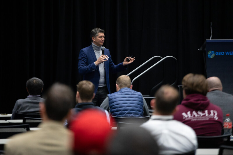
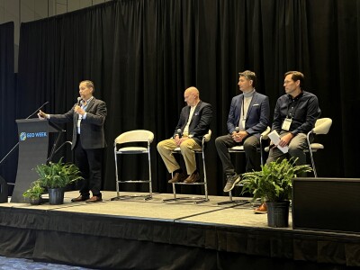
At the Geo Week 2025 session Best Practices for Large Airborne Mapping Projects, leaders from Trimble Applanix, Merrick & Company, CartoData, and Surdex drew on their years of experience in planning and managing mapping projects to provide practical advice to conference attendees. By explaining how they addressed real-life challenges, they gave the Geo Week attendees actionable information that they could bring to their own work.
Moderator Mohamed Mostafa, Lead Technical Authority - Mobile Mapping for Trimble Applanix, kicked off the session by introducing Matt Bethel, Director of Operations and Technology at Merrick & Company. With expertise in multi-sensor systems engineering covering design, integration, testing, maintenance, and operations, Bethel explained that most mapping professionals are pressed for time to complete their projects.
“When you’re dealing with a massive project, something that spans across many counties, a significant portion of a state or more, the time constraint factor is a big challenge,” he said. Time pressures can come from competing projects, changes in the weather, and problems around data collection and processing. Bethel said that mappers can address these and other challenges through careful sensor selection, efficient flight planning, and the adoption of high-performance computing.
The next presenter was Felix Audirac, President of CartoData. Audirac described three recent projects his company worked on to show the complexities involved in airborne mapping missions and how those complexities can lead to new opportunities.
One of the missions he described was a 2013 mapping project in Mexico. “The reason for this project was to understand the degradation of forests across different ecosystems,” Audirac explained. “So, we flew over deserts and jungles and pine trees - all different kinds - looking for trees and the quality of them.” Despite issues with sensors and processing, these flights were successful in capturing signs of forest degradation.
However, Audirac explained, the flights also captured evidence of previously unknown archeological sites. “The University of Cambridge took our information, and they realized that there were a lot of places where there were not only houses, but also infrastructure that was built by the Mayans in the Tabasco region,” he reported. “And that was something that was successful just because the data was open. Having an open data approach to things can change dramatically.”
Audirac also described a state-wide mapping project in the Mexican state of Jalisco that took place during the COVID-19 pandemic. By forcing many workers to stay home rather than operate in the field, Audirac said that his team learned important lessons about data sharing and found new efficiencies. Also, he described a country-wide mapping project in El Salvador that taught his team lessons in overcoming the cultural, regulatory, and political challenges that can impact large airborne mapping projects.
The final speaker was Scott Merrit, VP Technology at Surdex. Since 2002, his company has been involved in the National Agriculture Imagery Program (NAIP). A massive airborne mapping undertaking, the NAIP, Merrit stated, is “a large area orthoimagery project that captures about half of lower 48 (US states) every year.”
Drawing from his many years of work on the NAIP, Merrit presented a list of best practices, including the need to create your own software, focus on project management, and make sound staffing decisions.
Merrit also called mappers and surveyors to automate as many processes as possible. “The progression over the past two decades has been to turn to an interconnected, database-driven process,” he said. “You can have all the great technology, but if it's not well connected, you still will have errors. So, this has been key for us.”
The event ended with a question-and-answer session that touched on issues ranging from the impact of AI on mapping, multi-disciplinary data use, the benefits of teaming up with other companies for large projects, and deciding between deploying crewed or uncrewed systems for airborne mapping and surveying.