
Global Mapper v15 has new extension interface for COAST tool
Blue Marble Geographics has released an updated version of its Global Mapper software with a new extension interface for add-on applications including its COAST tool and a new lidar module for processing and analysis.
Blue Marble created three modules for Global Mapper v15:
- free COAST – Coastal Adaptation to Sea Level Rise Tool tool for cost/benefit analysis of coastal flooding incidents
- Overview Map Window extension allows users to preview data in small inset window in the main map interface to manage active data analysis while keeping track of a localized area view
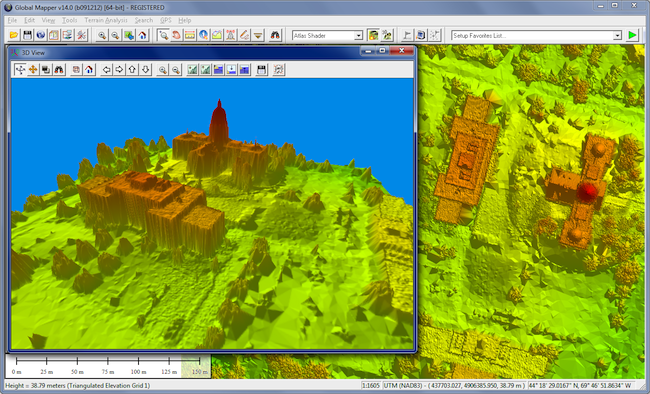
- new lidar module sold for price of another seat of software
“Global Mapper is truly the GIS tool for everyone and that includes the basic user who simply needs to view data or output it to Google Earth, as well as the highly trained GIS or survey professional working with lidar point clouds of a billion points or more,” said Blue Marble President Patrick Cunningham.
The Hallowell, Maine-based company develops and sells geospatial data manipulation, visualization, conversion, and format support software products and services for GIS analysts at software, oil and gas, mining, civil engineering, surveying, and technology companies, as well as governmental and university organizations.
Access to over 200 file formats
The new extension interface in Global Mapper v15 provides access to customers and third-party users to over 200 file formats including CADRG and OTF.
Global Mapper v15 also has advanced capabilities like: image rectification, contour generation from surface data, viewshed analysis, watershed delineation, sea level rise modeling, terrain layer comparison, and triangulation and gridding of 3D point data.
The new version also features a new Mathematical Raster Calculator for multi-band imagery analysis, the ability to edit and re-calculate multiple view shed layers, 3D PDF read/write support, and scripting enhancements such as passing variables to the script from the command line.
COAST analyses
The COAST software allows modeling of cost/benefit analyses for adaptation strategies for sea level rise and coastal flooding from storm events like hurricanes.
COAST was developed collaboratively at the University of Southern Maine with funds from the Environmental Protection Agency by Blue Marble, Battelle, the Maine Geological Survey, and the University of New Hampshire.
The lidar module has the ability to view, edit and re-classify points in the Path Profile viewer. Users can also directly edit lidar points and manipulate lidar classifications from the path profile view, rather than from a sub-menu.
The lidar module also features:
- faster gridding of point cloud data and support for min/max/average gridding operations on lidar point clouds
- automatic classification of ground points from unclassified point clouds
- support for reporting lidar statistics via script to a text file to facilitate QA processes
- E57 lidar format support
- display lidar points by height above ground to visualize vegetation and building heights
- flexible creation of elevation surfaces, including smart decimation through binning
Other new extension modules are expected over the next year, the company said. See a complete list of features and enhancements for Global Mapper v15.
Blue Marble is the developer of The Geographic Calculator, GeoCalc SDK, Global Mapper, Global Energy Mapper, and Global Mapper SDK.


