Every week here at Geo Week News, we have been highlighting some of our favorite stories from around the internet that cover the geospatial, 3D, and AEC industries. Whether it’s a fascinating case study, insights from an industry thought leader, or deep dives into new tools, there is never any shortage of great writing and storytelling in this industry. Now, we’re expanding this section a bit. We will still be highlighting three stories from around the internet every week, but in addition, we will also be adding some information about some of the news that came through the industry over the last week.
So, below you will first see links to three stories that we loved this week, and then under that, check out some of the biggest news that came across the wire over the last seven days.
Stories of the Week
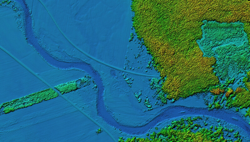
We start with a story from xyHt about shoreline mapping, and specifically, how newer hybrid systems are transforming the industry. While traditional methods required multiple systems for different parts of a project, these mapping workflows can now be done using a single system.
Next up, we have a local news story from Jessica Barker at WKRN in Nashville, Tennessee. This article looks at how the city is starting to leverage lidar systems to help with its goals of eliminating pedestrian deaths along its roadways.
Finally, we end with a story from Esri’s Brook Patrick on their company blog looking at Nottingham, England. Specifically, the article takes a look at how the city is using 3D digital twins that leverage GIS technology to help plan a future vision of the city that includes new parks, office space, and housing.
News of the Week
Our top story of the week comes from Leica Geosystems, part of Hexagon, who announced on Tuesday the introduction of their new Leica Pegasus TRK300. The company indicates they are trying to assist the expansion of mobile mapping with this release, saying the new system is adaptable for “various mobile mapping applications,” and that “users with varying levels of experience can efficiently capture high-quality point cloud data.” The company also announced its acquisition of Scasa, a move they say will give customers more flexibility and choice in their reality capture workflows.
We also got news from Trimble last week, with the company announcing the launch of Trimble Forestry One. Forestry as an industry is a major user of large amounts of geospatial data, and this release aims to better connect all of it into a single data environment.
Also last week, Ecopia AI made an announcement that they have made available off-the-shelf 3D land cover mapping data for the 400 largest cities in the US. This data, which was made available in partnership with Nearmap, is useful to a number of different industries, including land use planning, infrastructure, insurance, and more.
GNSS technology is crucial to nearly every industry right now as autonomy and location data become a core part of workflows. With that in mind, Septentrio announced this week its new mosaic-G5 modules, enabling high-accuracy positioning in a smaller form factor.
Finally, our friends at the European Association of Aerial Surveying Industries (EAASI) have launched the second edition of their Outstanding Thesis Award, with this year’s theme being “Spatial Business Bridge.” The award is meant to bridge academic research with the operational needs of the commercial industry.
Find all of our aggregated press releases here.