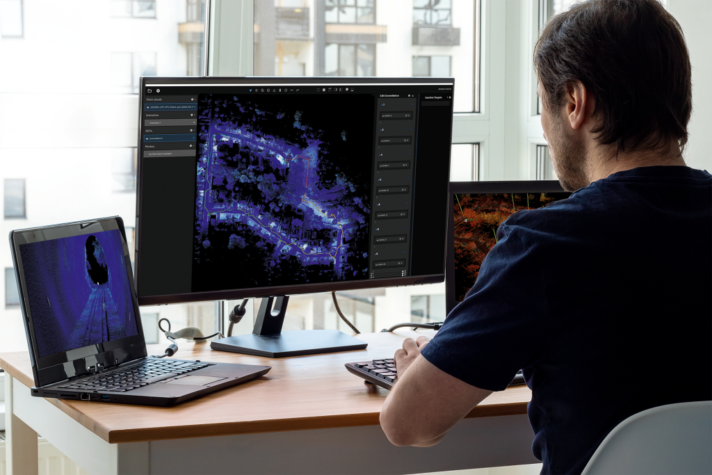
Launched in 2019, Hovermap has made its name in surveying some of the most challenging environments, its autonomy enabling mapping to occur in hazardous and hard-to-reach places including mines and other GPS-denied environments.
Emesent has now announced the launch of Hovermap ST, the next evolution of their leading Hovermap autonomy and mapping payload. Hovermap ST has been redesigned from the inside out with robustness and reliability in mind. The ST has an IP65 rated weather-sealed design, a powerful embedded computer for autonomy and mapping, and an accessory expansion port to further enhance its capabilities.
This latest release comes from working with their clients and customers for over three years since Hovermap’s initial launch, says Emesent CEO and co-founder D. Stefan Hrabar.
“As soon as we launched Hovermap, we started getting feedback from our mining customers, because that’s a very harsh environment to use any kind of equipment. We realized we should develop a payload something that was even more ruggedized with a better IP rating reading for those environments, as well as something that could handle a wider range of temperature and environments.”

The LiDAR produces up to 600,000 points per second in dual return mode, covering a near spherical field of view. The form factor of the ST is also smaller than the original Hovermap, and the orientation of the lidar has been adjusted slightly to increase the field of view around a backpack (when worn) or when mounted on a UAV, says Hrabar.
“If you’re putting Hovermap on a backpack, it sticks out further from the body so you get less occlusion. That angle also helps to minimize occlusion from the drone when Hovermap is mounted to a drone. It then has a better field of view, particularly behind the drone.”
Automatic detection of ground control points
In addition to the physical changes, the device itself has been rebuilt internally, so the new update is far from just a carrying case for the existing Hovermap platform.
In this release, Emesent is tackling some key challenges that SLAM lidar presents; accuracy and drift. Without closing the loop or stoping frequently for georeferencing, it can be difficult to get accurate scans in some situations. While adding ground control points can help to solve this problem, engineers were hesitant to add a step that required a stop-and-go workflow.
To address both of these concerns, a new automatic detection feature was developed. This feature added to the Hovermap ST can be used to capture control targets already placed in the environment while in motion.
“Placing these targets in existing locations can help speed up the whole georeferencing process as well as provide additional constraints to improve SLAM… So it is kind of a two in one, making it as automated and streamlined as possible so that we don't sacrifice the already efficient workflows while capturing data with Hovermap.”
To use the new Automated Ground Control Feature, users place Emesent ground control targets in the environment and then capture them in a Hovermap ST scan. The targets are automatically detected by Emesent's SLAM processing engine and used to improve the SLAM result and automatically georeference the point cloud. The process includes automated constellation matching between detected targets and known survey coordinates, eliminating what was previously manual work. This feature could help broaden the use of SLAM systems, says Hrabar.
“What’s exciting is how this could potentially enable new applications that were less suitable for SLAM-based systems before. For longer linear assets, areas where you can’t really ‘close the loop’ well, or even large open areas where there are not many features, bringing in these control points can make it possible to use SLAM-based systems.”
While Hovermap has become known for its application in mines, the increased field of view, weather resistance, and lightened form-factor may improve the experience for users in many verticals. Better resistance to rain and longer flight times, combined with improved workflows for accuracy may encourage more to try SLAM as a mapping solution.
“Having better accuracy and precision from a SLAM-based system is going to open up new applications that just weren’t possible before,” added Hrabar.


