

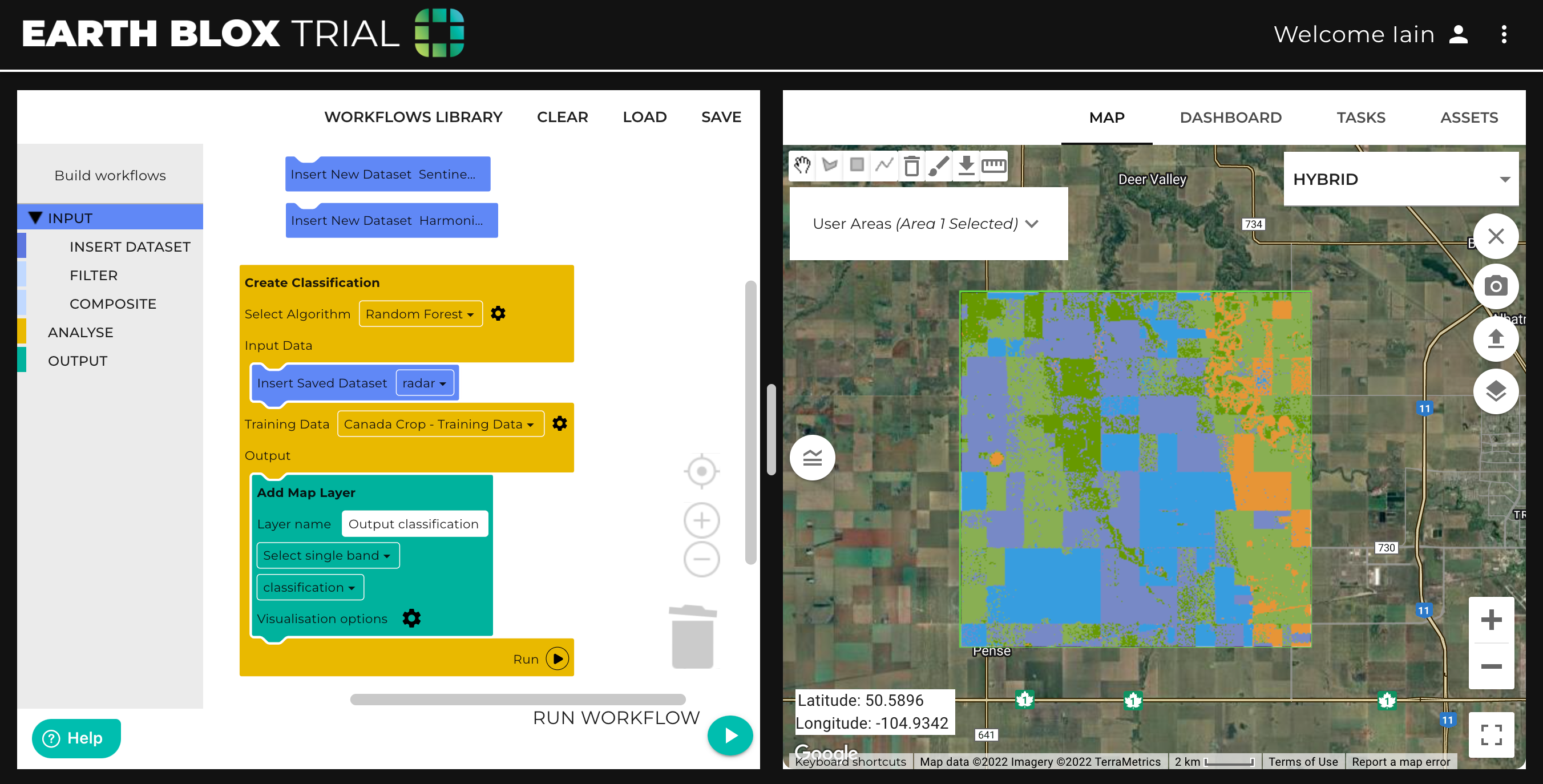
Earth Blox is a no-code Earth observation platform that provides data analysts with a range of tools for conducting analyses, such as understanding the situation on the ground currently, extracting insights on historical conditions, and then conducting ongoing monitoring. The ability to combine multiple datasets to provide deeper insights is also key, and this can be combined with classification algorithms, change detection, masking, filtering, and other common analysis applied to satellite data. Because Earth Blox is code-free, non-coders can use it to build and run geospatial analyses.
Earth Blox uses Google Earth Engine's data archive, giving their users access to more than 40 years of historical global imagery and scientific datasets, that are updated and expanded daily. Unlike traditional GIS software, Earth Blox doesn’t require significant expertise to operate, and full transparency is given to users at every stage of the processing. Processing is done in the cloud, removing the need to download data or have significant computing resources on the user’s desktop.
Benefitting geospatial experts and disciplines with no Earth observation expertise
Recently, the company announced a low-touch SaaS offering at Google’s Geo for Good Summit in Mountain View, California and invited delegates to register for early access. Launching early in the new year, the program will give data scientists and analysts access to the software for free for a limited time. Participants will be asked to participate in online surveys and feedback sessions to help improve the product. The low-touch SaaS will enable Earth Blox to extend subscription options to benefit a wider range of users across different disciplines with no Earth observation expertise, furthering the company’s mission to provide accessible environmental intelligence at scale to drive sustainability initiatives and climate change mitigation worldwide.
The term “low-touch SaaS” means that customers will be able to sign up and start using the service without having to talk to someone in Earth Blox, explains Iain Woodhouse. “Subscriptions will be tiered to support different types of users and ensure they only pay for what they need. Typically, geospatial software is built for geospatial experts, and while Earth Blox already serves (and will continue to serve) these users, many other disciplines can also benefit from this technology. ESG project managers, sustainability teams, engineers on site, as well as analysts and scientists who are focused on solving sustainability or climate change problems can benefit from easy access to this data and insights.”
For example, Earth Blox has customers using Earth Blox to scale their Nature Based Solutions investments. They use it daily to assess project areas and monitor performance. It gives them ready access to data they need to assess, verify, and report on their natural assets with confidence and full transparency. They don’t need to always rely on the single geospatial consultant in the team or outsource the work to a consultancy, which can be costly and takes a lot of time.
The benefits of SaaS
Woodhouse adds that organizations of all sizes, as well as consultants and freelancers, benefit from SaaS because it allows users to pay for what they need and scale at their own pace. “For NGOs and charities, it can be difficult to justify technology purchases as they need to be attributed to funding for specific projects, but a discounted subscription to Earth Blox helps to lower the bar.”
The benefits of SaaS are many, he says. “Firstly, cloud hosting means it is accessible from anywhere you have a basic internet connection since you don’t need to download the massive files that satellite data usually comes in. A single satellite image can be up to multiple Gigabytes. Earth Blox provides its users with access to over 70 petabytes of satellite data which is then processed on the cloud. Secondly, you don’t need a fast computer with significant computing power to process the data. All the processing is done on Google’s massive (low carbon) servers on the cloud, and you only have to download the final map result if you require. Tasks that could take hours or days to undertake on your own local computer are reduced to a matter of minutes on Earth Blox.”


