

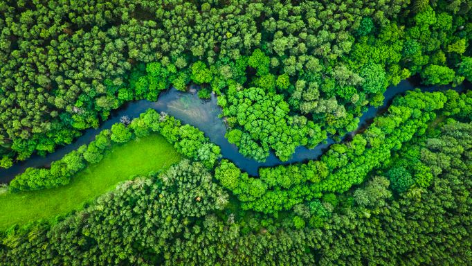
As the world tries to find any ways possible to help combat and slow down climate change, much of the focus is being placed on the planet’s forests. Much of the Earth’s carbon is stored in these spaces, and having full knowledge of both their current state and what effects alterations – either deforestation or deforestation – could have on the environment is a crucial piece to meeting sustainability goals. We know that different types of geospatial data can be crucial for climate change, and technology in the industry can help us measure things more accurately than ever before.
“Forests constitute a key to climate change mitigation, but climate policy and nature-based solutions cannot be made cost effective without an accurate understanding of the magnitude, drivers and spatial distribution of global forest carbon accumulation rates,” says Professor Jingjing Liang, an associate professor of quantitative forest ecology at Purdue University and the co-director of the Forest Advanced Computing and Artificial Intelligence Lab. Liang and his team of researchers recently received a two-year, $870,000 grant from the World Resources Institute to map global forest carbon accumulation rates.
The aim of this project is to develop a new and more accurate way to measure this stuff on a global level, something that has not been easily done in the past. With new technology and tools available today, Liang believes that can change. He and his team are developing an artificial intelligence model which will combine information collected from all corners of the world with other geospatial and satellite data to map local forest growth rates throughout the globe. Liang says this is the first of its kind AI-based model deployed at this large a scale, and will be used to not only quantify carbon dynamics, but also to capture the dynamics of forest biodiversity and timber quality.
At its heart, what this project should achieve is based around that ground-sourced data, which will come from this team as well as collaborators from all around the world. Per Liang, “Lots of forest inventory data from North and Central America, South America, Africa, Oceania, and Eurasia were collected by local field crews including those from indigenous and rural communities.”
In the past, global-scale models for carbon accumulation were based in large part on remote-sensing information, leading to “very rough” estimates. This model bringing together all of this ground-sourced information should be able to change that, but also requires massive amounts of computing power, the needs for which are able to be met on Purdue’s campus.
As Nancy Harris, research director of the Land and Carbon Lab at the World Resources Institute, said in a press statement, “This task is considerably more challenging than mapping carbon emissions from forest loss,” referring to what much of the work in this area has looked at. “With emissions, there’s a clear signal in satellite imagery when trees are cut, leading to a big drop in forest carbon stocks and a relatively abrupt pulse of emissions to the atmosphere. With sequestration, forests accumulate carbon gradually and nonlinearly,” Harris added.
Much like with Dr. Kim Calders’ project linked above, in which he found traditional ways of measuring carbon totals in individual trees could be significantly off, this project could find that current global carbon accumulation estimates may come to similar conclusions. Liang told Geo Week News, “It’s hard to tell at this moment, but I wouldn’t be surprised if substantial biases will be found in our previous knowledge of global carbon accumulation rates. In this case, there will be an urgent need to reshape our climate policy and nature-based solutions.”
This is just another example of how all kinds of technological innovation can come together to create a better understanding of the world around us. With more computing power, more access to geospatial data collection tools, and easier ways of collaboration around the globe, projects like this should provide key information to use going forward as we try to reverse the effects of climate change to whatever extent possible.


