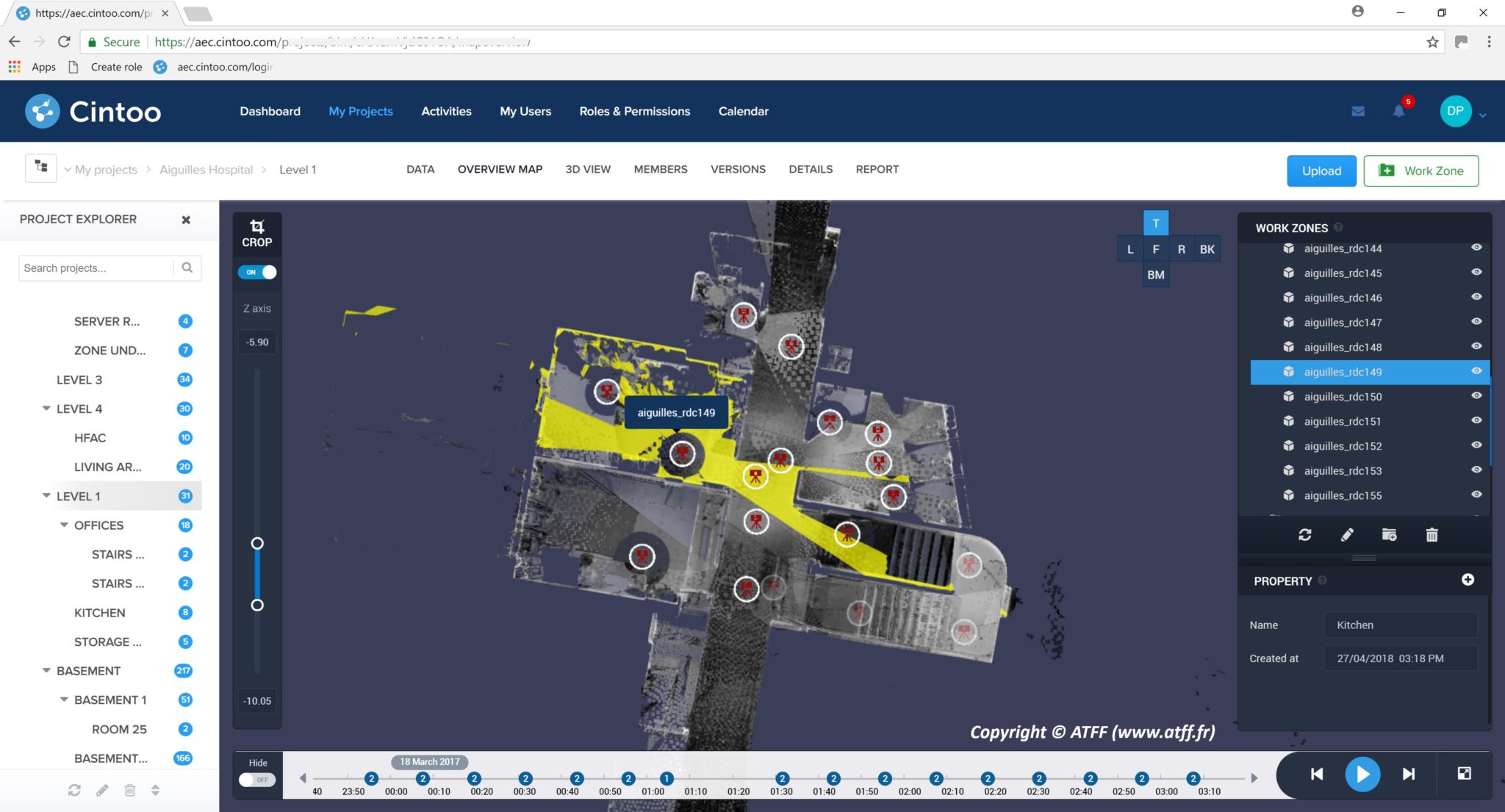
We are gathering an increasing number of point clouds in 2018, but processing tools haven’t kept pace, introducing a bottleneck in the 3D-capture workflow. Cintoo is one of the new crop of companies taking a creative approach to this problem with the new release of its cloud-based software tool for handling “gigantic point clouds generated from terrestrial laser scans.”
Cintoo, a company formed by 3D-technology fixture Dominique Poliquen, built its Cintoo Cloud application with a focus on BIM workflows in AEC. Its core technology is a processing method that simplifies the process of moving terrestrial point cloud data sets on to the cloud—even those with over a billion data points from thousands of scans. It also allows users to stream that mesh from any desktop or laptop with internet access, “with no compromise on accuracy.”
In a deeper dive back in June, we described this core tech as a “conversion method that turns point clouds into meshes for much faster transfer and greatly improved viewing, but can totally reverse those meshes back into point clouds on the receiving end. The solution offers the superior speed and visualization of the mesh, without losing any of the benefits of the point cloud for BIM modeling. It lets you have it both ways.”
On top of this core technology, Cintoo includes visualization features for viewing data in RGB, x-ray, height, or 3D surface modes. It also enables users to organize projects into areas called “work zones,” which group the scans into selected areas for easier organization, viewing, and faster access.
Cintoo Cloud ensures operability with the Autodesk portfolio due to integration of the ReCap SDK. That means it can read RCS files and write them for any of its viewing modes. Users can connect Cintoo Cloud to BIM 360 Docs using the Forge platform to overlay a 3D BIM model on top of reality data to perform quick QC.
A free trial of Cintoo Cloud is available on Cintoo’s website. Contact the company for more information or pricing.


