
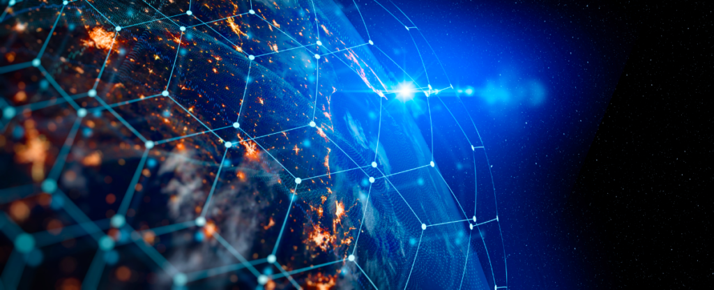
The United States Geospatial Intelligence Foundation (USGIF) is an educational foundation that supports the geospatial intelligence (GEOINT) industry. In late May, the USGIF hosted the 20th edition of the GEOINT Symposium – a gathering that brings together the GEOINT community of government, academia, and private industry to collaborate and discuss the most pertinent topics in geospatial intelligence.
Whether anticipating the impacts of new technologies like SAR, or confronting the challenges of a changing workforce, there’s a lot to talk about. Though the geospatial intelligence community is largely space-based, the challenges they are facing – as well as the up-and-coming technologies- parallel a lot of the other facets of the geospatial industry as a whole.
SAR is a rising star
Synthetic Aperture Radar (SAR) is a remote sensing technology that uses radar to create high-resolution images of the Earth’s surface. Unlike optical sensors that rely on a clear view in daylight, SAR systems can operate day and night and can penetrate through clouds, rain, and fog. SAR works by transmitting microwave pulses toward the ground and measuring the echoes that bounce back. By analyzing the time delay and amplitude of these echoes, SAR systems can reconstruct detailed images of the terrain. (Want to learn more? Here’s a great “SAR 101” explainer from Capella space).
Because SAR can produce high-resolution images with detailed information about the Earth’s surface, it can detect subtle changes in topography, identify small objects, and provide accurate measurements of features like elevation, surface roughness, and vegetation density. Private companies that work with government agencies to provide imagery, like Umbra and Ursa space, have already started to collaborate on providing SAR imagery for government use.
As exciting as these new sources of imaging can be, it comes with the cost of adding yet another stream of information to a distributed system. Geospatial intelligence analysis requires sophisticated algorithms and techniques to extract meaningful insights from data. The complexity of analyzing diverse geospatial data sources, such as imagery, SAR, lidar, and geospatial databases, requires advanced tools and expertise. Developing and maintaining analytical capabilities to handle the complexity of data and provide accurate and timely intelligence will continue to be a challenge.
Security is becoming more urgent
As the rest of the world continues their technological development, new and emerging threats arise – including those of hacking and cybersecurity. Geospatial intelligence systems are vulnerable to cyber threats, including data breaches, system intrusions, and denial-of-service attacks. Protecting sensitive information, ensuring data integrity, and safeguarding communication networks and infrastructure are critical challenges for the geospatial intelligence community.
In addition, Geospatial data often originates from diverse sources, formats, and standards. Integrating and interoperating data from different agencies, organizations, and platforms can be complex and time-consuming, and contributes to security challenges at each “handoff.” Ensuring compatibility and seamless sharing of data across various systems is crucial for efficient geospatial intelligence operations.
While the ideas of these vulnerabilities can be unsettling, it has also had the result of accelerating research into quantum technology that may provide more secure forms of cryptography over current methods.
Private industry is the key to more agility
Several speakers at the conference touched on the fact that, frankly, the government faces significant challenges in both getting timely or consistent funding for doing things such as launching new satellites or pioneering new geospatial intelligence technology or capabilities. By partnering with private industry – either by purchasing imagery or data directly, or relying on them for launch services or to develop new satellites – the pace can be accelerated.
Commercial companies operate a variety of platforms, including satellites, aircraft, and drones, which can collect geospatial data at high resolutions and with different sensors. Partnering with commercial companies provides the government with access to a wider range of data sources and collection capabilities. This expands the data available for analysis, enables more frequent updates, and enhances the ability to monitor and respond to dynamic situations.
In a panel about GEOINT in the Global Economy, Jim Bridenstine, Former NASA Administrator and Member of Congress summed up this relationship succinctly:
“To this audience: You are our only hope – because innovation really comes from industry.“
“I also think that’s a little sad, because in a previous era in American history, the government was able to do more than write checks. Today we’re seen primarily as a funding source – but we really need not only to be able to buy things in your catalogs when we’re in government, but we need to invent new and better catalogs, and we need to be 10, 20, 20 years ahead of any possible adversary… So we need your brains, we need your energy and your flexibility.”
Recruiting outside of typical networks is crucial
 Another significant challenge for the geospatial intelligence agency that is certainly not unfamiliar for those in other geospatial domains is the crucial and difficult problem of finding, recruiting and retaining talent for the skilled jobs that these tasks require. One area of focus at GEOINT was on recruiting individuals who may come from outside the traditional talent pools that the government would typically look for – including neurodiverse individuals.
Neurodiverse individuals, such as those on the autism spectrum, often have unique cognitive strengths and alternative ways of thinking. They may excel in pattern recognition, attention to detail, logical reasoning, and spatial thinking, which are valuable skills in geospatial intelligence. By recruiting neurodiverse individuals, the community can tap into a diverse pool of talent and benefit from their different perspectives and problem-solving approaches.
The geospatial intelligence community often faces a shortage of skilled professionals with expertise in data analysis, geospatial technologies, and critical thinking. By actively recruiting neurodiverse individuals, the community can tap into a talent pool that may possess unique skills and abilities that align well with the demands of geospatial intelligence. This can help bridge the skills gap and bring in valuable expertise to address workforce shortages.
This is not without challenges, however, as it was pointed out in the panel that many of the hiring practices – face-to-face interviews, and security clearance measures – may inappropriately flag some behaviors as signs of being nervous or evasive when they are normal for the applicant, for example.
It’s an exciting time for geospatial
Like many tech industries, the GEOINT community is experiencing a burst of innovation. Geospatial intelligence is no longer limited to a single data source. The industry is increasingly integrating data from various sources, including satellites, aerial platforms, ground-based sensors, social media, and open-source intelligence. This integration enables a comprehensive understanding of complex situations, enhances situational awareness, and supports decision-making processes.
The application of artificial intelligence (AI) and machine learning (ML) techniques is also transforming the geospatial intelligence industry. These technologies enable automated analysis of vast amounts of geospatial data, pattern recognition, anomaly detection, and predictive modeling. AI and ML algorithms enhance the speed and accuracy of geospatial intelligence analysis, enabling analysts to focus on higher-level tasks and strategic decision-making.
While geospatial intelligence can seem siloed from other geospatial domains due to the sensitive nature of some of the work, many of the themes that came out in GEOINT are applicable and on the horizon for lidar, GIS and more. A “space” to watch, for sure.


