
Blue Marble unveils new lidar API for GeoCore 2012
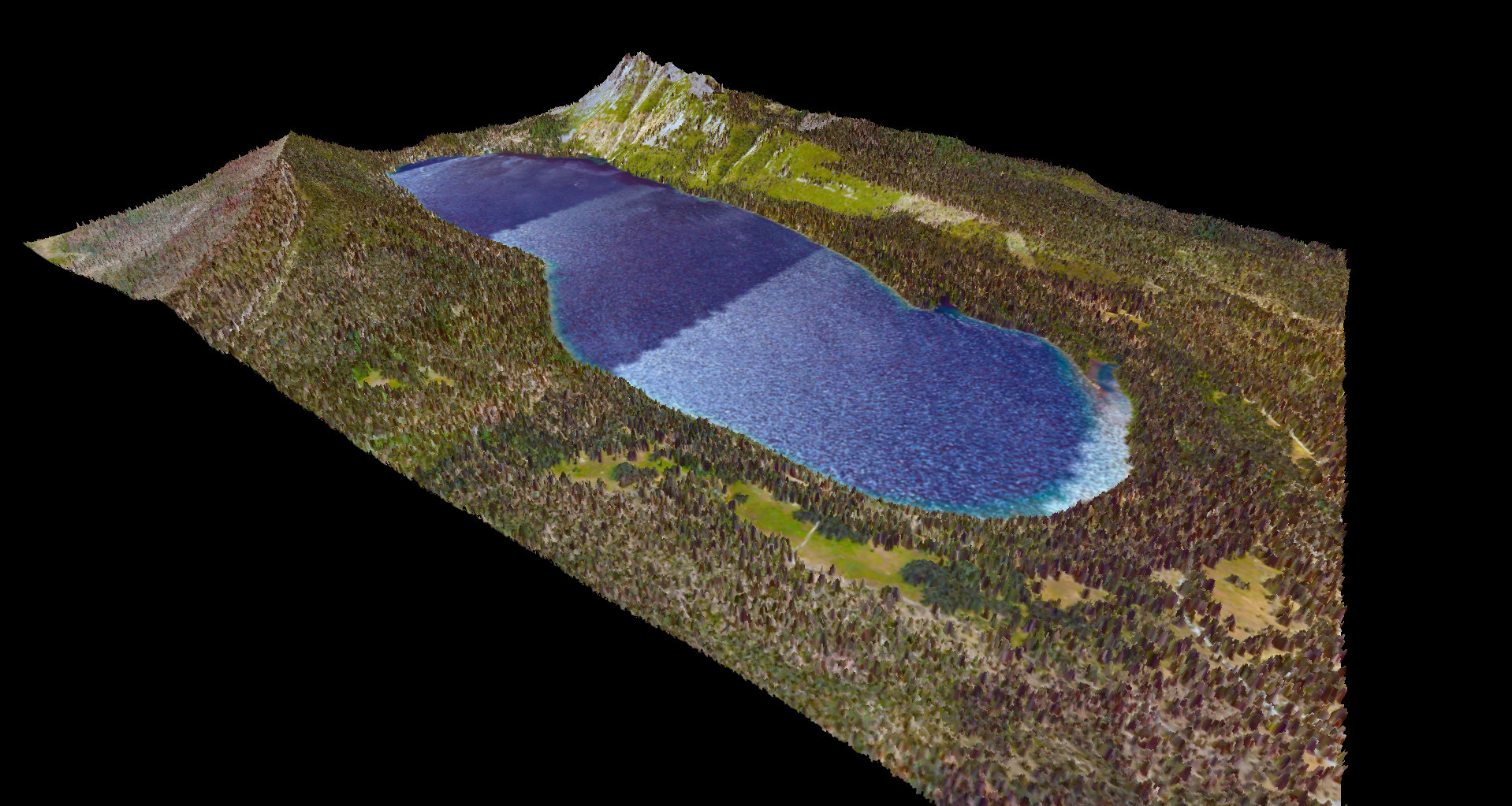
GARDINER, Maine – As the demand for aerial lidar data increases, and as the systems gather increasingly large amounts of data, there is the correlating need to process more data in quicker fashion with better accuracy.
To process that data with accuracy, said Patrick Cunningham, president of Blue Marble Geographics, you need the local geoid.
The what? Many of you probably know that even if there were no land above water on the Earth, it would still not be a perfect sphere. The differing concentrations of mass within the Earth, due to shifting magma and all sorts of factors, make for a true surface of the Earth that undulates significantly. To estimate that true Earth shape, we need a geoid, which establishes mean sea-level also known as zero elevation.
However, when aerial systems collect data, they usually use Earth-centered earthfixed coordinates, which are technically unrelated to the earth’s surface. “A geoid is an undulating model of height,” Cunningham said, “using mean sea level which is based on gravimetric measurement. It’s just trying to approximate a height model in the real world.” But if you’re working in a local coordinate system, and you’re taking the time and energy to correlate with that in your post-processing, ECEF won’t work. You need a geoid
“Basically,” said Cunningham, “you can’t post process that data in a highly accurate survey-quality manner without good geoid support.”
Such is the aim of the improved lidar API in Blue Marble’s GeoCore 2012. “It has a very powerful coordinate engine, called GeoCalc,” Cunningham said, “and that has a very extensive list of supported geoids. With this release we expanded that dramatically. We added 10 new geoids and added a new way to define an offset from a height model, so you can tweak your height model for even more accuracy.”
But the geoid isn’t a secret. Why doesn’t every lidar post-processing software have similar capabilities?
“You have to handle coordinate transformation correctly,” Cunningham said, “both horizontal and vertical transformation. The more difficult the geometry, the more likely you are to mess up the data. And that takes a little time. It’s not just the values of the heights, it’s being able to test your translation to make sure it’s right. It really does take time to correctly bring in the geoid transformation capabilities to software.
“A lot of software, they don’t want to deal with it. A lot will show you a 3D image, but they’re really just approximating the height value.”
But do customers really care about this level of height accuracy? Absolutely, Cunningham said, especially in this “the year of lidar” he’s been experiencing. “A lot of folks are going from survey to GIS,” he said, “and a lot of our customers, like Optech and Merrick and Company, they need broad reliable geoid support for post-processing of the data … Everyone has a solution now, but most can just do Earth-center-fixed or just one geoid. That’s where we think we bring a lot of value.”
Even the company’s recent acquisition, Global Mapper out of Colorado, has limited geoid support. “It’s a great GIS tool,” Cunningham said of the company they bought in November, “but it doesn’t quite yet support geoids. We’ve got a lot of work to do on that, but that’s what we do. We just did a webinar on Global Mapper and some people asked, ‘When are you going to get geoid support in Global Mapper?’ It’s a funny place the industry is in right now. We can do this great, highly accurate data collection, but can we keep that high accuracy as we process and deliver that data?


