Every week here at Geo Week News, we have been highlighting some of our favorite stories from around the internet that cover the geospatial, 3D, and AEC industries. Whether it’s a fascinating case study, insights from an industry thought leader, or deep dives into new tools, there is never any shortage of great writing and storytelling in this industry. So, below you can find links to three stories that we loved this week.
Bluesky supports careers drive to inspire tomorrow’s geospatial talent
Staff Writer | GIM International
Bluesky International is supporting Time for Geography in launching the UK’s largest ever careers awareness initiative for geography, geoscience, and environmental sectors. At a time when climate resilience, sustainability, and technological innovation are driving demand for geospatial expertise, the program aims to inspire students by showing how their studies in geospatial can lead to impactful careers. With tailored classroom resources, industry voices, and a new geo-careers portal, the initiative will help build the diverse, skilled workforce needed to tackle the defining challenges of the future.
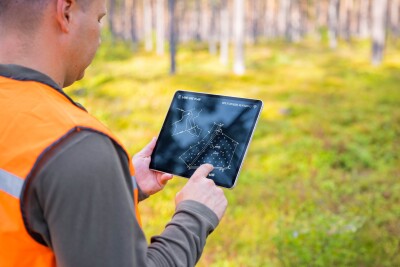
Oriented Imagery in GIS: Unlocking Value From Unstructured Data
Staff Writer | XYHT
Esri is spotlighting oriented imagery as a game-changer for turning unstructured imagery into actionable geospatial intelligence. Already adopted by utilities like PG&E and state transportation agencies, the technology enables safer, faster inspections and planning by integrating drone, 360, and mobile images directly into GIS. From creating digital twins to powering AI-driven damage detection, oriented imagery helps organizations cut costs, improve safety, and unlock new value from billions of images once left unused.
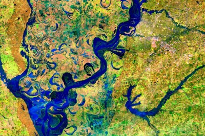
GIS, Data Central to Water Agencies in a Changing World
Skip Descant | Government Technology
Water agencies are increasingly turning to GIS and data tools to meet the dual challenges of climate change and rising wildfire risk. From California’s Santa Margarita Water District, which supplies billions of gallons for firefighting, to utilities in Pennsylvania and Washington adopting dashboards and smart meters, GIS is transforming water management with greater efficiency, resiliency, and transparency for communities.