Every week here at Geo Week News, we have been highlighting some of our favorite stories from around the internet that cover the geospatial, 3D, and AEC industries. Whether it’s a fascinating case study, insights from an industry thought leader, or deep dives into new tools, there is never any shortage of great writing and storytelling in this industry. So, below you can find links to three stories that we loved this week.
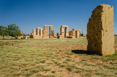
Historic Preservation Meets Digital Archaeology in the Jungles of Guatemala
Adam P. Spring | Lidar Magazine
We talk a lot in this space about how 3D scanning technology plays a significant role in historical preservation, something that came into mainstream consciousness when scan data was used to help rebuild Notre Dame Cathedral in Paris. This article from Spring details how this same data can also be used for archeology and historical record keeping. He uses an example of a project he helped complete in Guatemala.
Who Owns Scotland: the fit-for-purpose rural land register
Robin McLaren, Andy Wightman | GIM-International
Scotland’s deeds-based land register has been steadily replaced with a new title-based system over the last 40+ years, but as of the start of this year, only roughly 56 percent of the nation’s land mass was registered. This article explores how a private-sector initiative is helping fill the gap by providing access to land ownership information in rural Scotland through a land information service called ‘Who Owns Scotland’.
Google’s Newest AI Model Acts Like a Satellite to Track Climate Change
Boone Ashworth | Wired
Satellite imagery has been ripe for innovation around artificial intelligence, as these massive datasets are difficult to parse by traditional methods but hold the key to critical insights. This article highlights a new AI model from Google, leveraging machine learning to monitor how areas are changing over time.