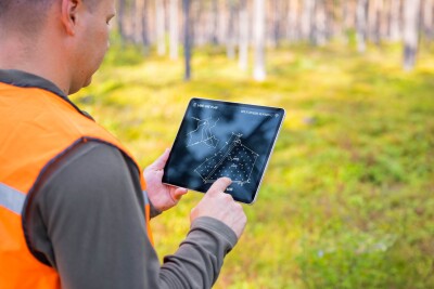
Every week here at Geo Week News, we have been highlighting some of our favorite stories from around the internet that cover the geospatial, 3D, and AEC industries. Whether it’s a fascinating case study, insights from an industry thought leader, or deep dives into new tools, there is never any shortage of great writing and storytelling in this industry. So, below you can find links to three stories that we loved this week.
Uncharted Antarctic Island Found with Lidar
Adam Clark | Lidar News
Researchers aboard the icebreaker Polarstern stumbled upon a previously uncharted island in Antarctica's Weddell Sea — initially mistaking the rocky, soil-covered landmass for a dirty iceberg — while seeking shelter from a storm. Using lidar, sonar, and drone photogrammetry to document the find, scientists say the island's newfound visibility is a direct result of record-low sea ice levels since 2017, meaning climate change is quite literally redrawing the world's maps.
The geospatial profession in 2026: expanding and evolving but not without its challenges
Wim van Wegen | GIM International
GIM International's annual survey of geospatial professionals finds the field more relevant than ever in 2026, with AI-driven analytics, real-time data integration, and advanced lidar topping investment priorities as the profession shifts from simply collecting data to delivering actionable intelligence. But the optimism comes with a catch — many respondents warn that geospatial expertise is still widely undervalued, often dismissed as a glorified IT function, even as climate change, rapid urbanization, and geopolitical instability create unprecedented demand for exactly what the profession offers.
Main Street Revival: Planners Turn to Interactive Maps to Renew City Centers
Christian Carlston | Lidar Magazine
As American downtowns continue to struggle with vacant storefronts and shrinking tax bases, city planners are increasingly turning to GIS technology and 3D digital twins to model, test, and visualize redevelopment scenarios before breaking ground — with cities like Dickinson, TX, Greenville, SC, and Magna, UT already seeing results. The data-driven case for downtown revival is hard to ignore: dense, mixed-use urban cores consistently generate far more tax revenue per acre than sprawling suburbs, while also curbing sprawl, improving air quality, and protecting farmland.