At NASA's Scientific Visualization Studio (SVS), the work of turning data collected from missions and satellites into something humans can actually understand falls to a team of data visualization developers. For some developers, geospatial technology isn't just a tool; it's the foundation of nearly everything they do.
"We turn data from NASA missions into images, animations, and interactive visuals that help explain what NASA is working on in a clear, accurate way," Kel Elkins, a data visualization developer at NASA’s SVS, explained.
On a daily basis, that means working with geo-referenced datasets, satellite swaths, and orbital trajectories that transform numbers into three-dimensional scenes that reveal patterns invisible in the original data.
Artemis II and the Power of Lunar Mapping
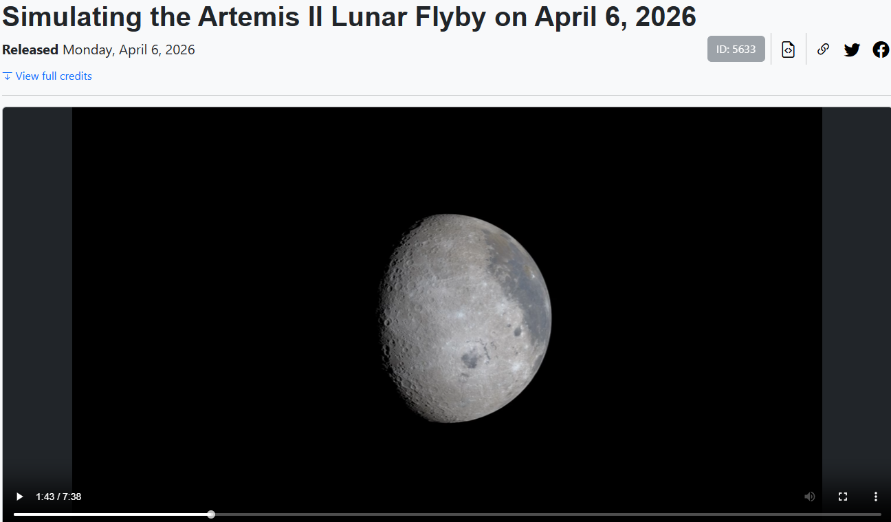
When NASA's Artemis II mission began taking shape, geospatial data was already doing heavy lifting behind the scenes. Elkins’ colleague Ernie Wright used data from the Lunar Reconnaissance Orbiter (LRO) to generate highly detailed 3D renderings of the Moon. These visualizations gave Artemis II astronauts a realistic preview of what to expect during their lunar flyby.
"Once the trajectory was resolved after the translunar injection burn, he was able to generate a precise estimate of what the astronauts would see, which was used by the Artemis science team to inform observation targets," Elkins noted.
The contrast with earlier missions is stark. Compared to programs like Apollo, today's missions benefit from dramatically higher-resolution lunar maps, enabling more precise planning and richer visualization than was ever possible in the past.
Safety, Trajectories, and What's Out the Window
Geospatial intelligence shapes mission safety in ways that go beyond surface maps. For a crewed mission, knowing exactly where the spacecraft is and how it moves relative to both the Earth and the Moon is something that directly affects trajectory design, communication windows, and crew visibility.
"For a flyby like Artemis II, even small changes in position can change what is visible out the window at any given moment," Elkins said. The SVS team's role is to make those spatial relationships intuitive, especially when dealing with complex motion across multiple reference frames.
The Technical Challenges: Stitching Data Together
One of the most persistent challenges at the intersection of space exploration and geospatial data is integration. Before building a clear visualization, they need to reconcile datasets from different sources, which arrive in varying resolutions, time scales, and reference frames.
The team has developed pipelines to convert science data into formats compatible with 3D graphics environments. Over time, those tools have matured to the point where the studio can often work directly with native science data formats, eliminating the need for intermediate conversion steps that previously introduced friction and potential error.
What Comes Next: Real-Time Systems and Immersive Tools
Looking toward longer-duration lunar missions and eventual Mars exploration, Elkins sees geospatial technology becoming even more central and more dynamic.
"I expect we'll move toward more real-time systems that combine spacecraft telemetry, environmental data, and terrain models so everything can be viewed together," he said. High-resolution imagery and terrain data will be especially critical for surface operations, where the margin for error shrinks considerably.
On the visualization side, the future likely includes more interactive and immersive platforms like web-based tools, real-time 3D environments, and augmented or virtual reality experiences that are designed to help both mission teams and the general public engage with complex spatial data in more intuitive ways.
As NASA explores the solar system, the ability to see where you are, where you're going, and what surrounds you will only grow more important. The developers building those views are already mapping the way.