Every week here at Geo Week News, we have been highlighting some of our favorite stories from around the internet that cover the geospatial, 3D, and AEC industries. Whether it’s a fascinating case study, insights from an industry thought leader, or deep dives into new tools, there is never any shortage of great writing and storytelling in this industry. So, below you can find links to three stories that we loved this week.
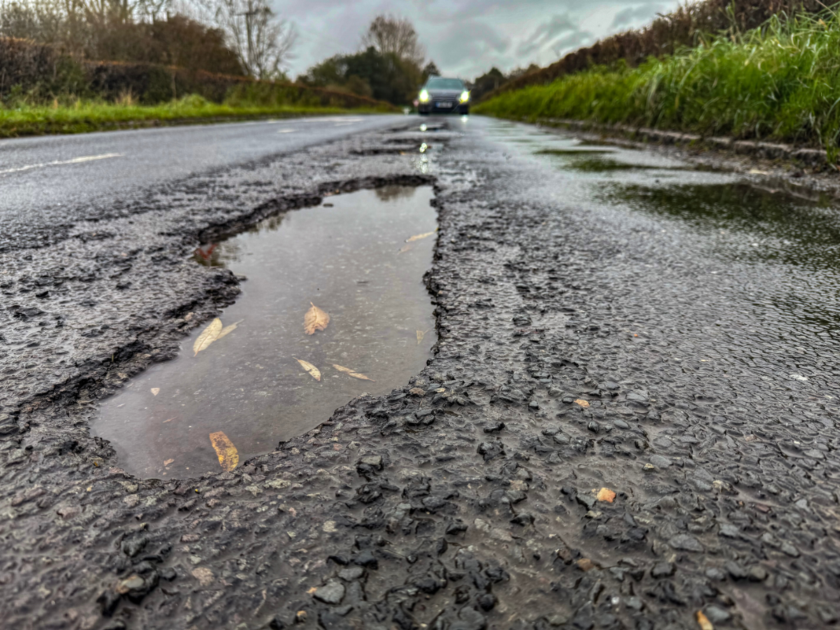
Drought impact: Damaged roads, disappearing rivers
Paul Murphy | BBC
In Lincolnshire (UK), roads are filled with cracks and bumps after a record-breaking dry and hot summer. The county has been working with the British Geological Survey to better understand the soil beneath the roads with lidar technology. Experts were able to find old water courses, some dating back to the Ice Age, underneath the roads that were causing the weakness in soil, and ultimately contributing to the poor state of the roads. Engineers and local authorities now face significant financial and logistical challenges in repairing that infrastructure.
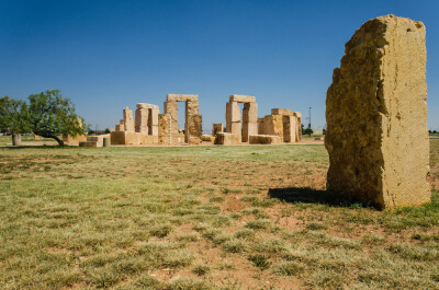
Recreating Stonehenge in West Texas
Aaron Burrell, PS | The American Surveyor
Lidar has been used to preserve historical monuments for years, but recreating Stonehenge in West Texas draws on astronomical mapping as well as modern GPS, CAD, and total station technology. To take on this task, experts studied satellite and aerial imagery of the original Stonehenge and used a compass rose brass disk as a fixed geographic reference. The project required precision, adaptability, and coordination. Despite its challenges, Aaron Burrell states that this project remains one of the proudest achievements of his career.
AI-powered mapping takes shape through Maxar-Ecopia partnership
Staff Writer | GIM International
Ecopia AI, a leader in applying artificial intelligence to geospatial big data, has partnered with Maxar Intelligence, a global provider of satellite imagery and space-based intelligence, to launch a groundbreaking AI-powered mapping tool. By combining Maxar’s high-resolution satellite data with Ecopia’s advanced AI-driven lidar mapping technology, the partnership eliminates the need for manual vector map digitization, bringing us closer to a continuously updated digital twin of Earth. This innovation is poised to transform geospatial intelligence, offering powerful applications for government agencies, urban planning, public safety, and beyond.