
Over the last half-decade or so, the availability and collection of Earth observation data from satellites has risen dramatically. It is cheaper and more accessible to launch satellites than ever before, problems relating to climate change and other major global trends are best observed at scale, and the ability to store all of this data has become more practical with the shift from on-prem data storage to the cloud. Today, both public and private efforts are orbiting our planet to collect critical insights for environmental monitoring, intelligence, defense, and more.
The issue, particularly for smaller organizations or even smaller nations, is that these observations come with massive amounts of data. It’s one thing for it to be easier than ever to collect this data, but there is still a tremendous amount of work required to turn that data into the aforementioned insights, and without proper resources it can be nearly impossible. All of this has made Earth observation ripe for impact from the boom around artificial intelligence, with machine learning and computer vision techniques being developed to more efficiently parse through satellite imagery.
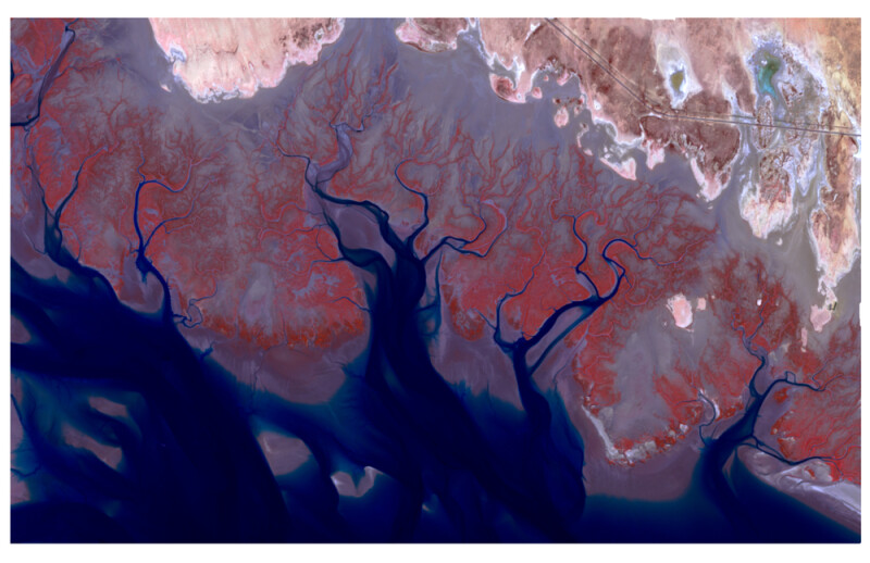
Late last month, DeepMind, Google’s AI research lab, announced their own latest foray into this realm, introducing their new AI model called AlphaEarth Foundations. In their announcement, they say that the model “functions like a virtual satellite.” They continued, “It accurately and efficiently characterizes the planet’s entire terrestrial land and coastal waters by integrating huge amounts of Earth observation data into a unified digital representation, or “embedding,” that computer systems can easily process.”
DeepMind claims that AlphaEarth Foundations solves a pair of significant challenges for those who work with Earth observation data: data overload and inconsistent information. The model combines vast amounts of information from a variety of public sources collecting imagery, radar, lidar, simulation, and other types of data. It then combines all of the information to analyse chunks of the Earth – both land and coastal waters – in 10×10 meter squares, all of which is tracked over time for change with what they term “remarkable precision.”
That kind of capability for AI-powered change detection is certainly not new, but what DeepMind claims AlphaEarth Foundations provides over other, similar systems is the way they portray the data to end users. The system creates a “highly compact” summary for each 10×10 meter square, which each summary requiring 16 times less storage than similar systems, according to Google’s research lab.
“This breakthrough enables scientists to do something that was impossible until now: create detailed, consistent maps of our world, on-demand,” the company said in their announcement. “Whether they are monitoring crop health, tracking deforestation, or observing new construction, they no longer have to rely on a single satellite passing overhead. They now have a new kind of foundation for geospatial data.”
This model has been in the works for the past year, during which time they have been working with over 50 organizations to test the dataset on applications in the real world. They say their partners are seeing “significant benefits.” DeepMind says that after their internal testing, AlphaEarth Foundations had a 24 percent lower error rate than the models they tested. A full paper on the model was published on July 31.


