
Bluesky’s aerial imagery used to display UGVs’ location, route in real time
Bluesky International Ltd. said Wednesday its aerial photomaps are being used to support the development of unmanned ground vehicles (UGVs) for military and commercial off-highway applications.
The Leicestershire, U.K.-based firm specializes in digital aerial imaging and remote sensing data collection and processing. Its deliverables include DTMs, DSMs and 3D landscape/cityscape visualisations and prints.
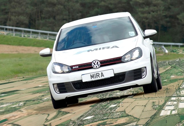
Vehicle engineering consultancy MIRA Ltd. purchased the aerial photomaps of its 750-acre proving ground in the Midlands, U.K., where UGVs can be remotely controlled or autonomously follow pre-planned routes.
The aerial imagery is embedded within MIRA’s command and control systems, where it is used to display the vehicle location and the route it is following in real time.
“The aerial photomaps give a level of situational awareness that is not necessarily available from a simple map,” said Jamie Strachan, MIRA senior UGV research engineer. “For our Midlands based proving ground, good quality maps just aren’t available in certain situations, so aerial imagery is essential.”
The 25 centimeter-resolution aerial photographs are from Bluesky’s off-the-shelf archive, which covers all of England, Scotland and Wales. The high-res digital images are continuously updated on a five-year, rolling data capture program, and are available in a range of formats for desktop mapping, GIS and CAD software.
Bluesky recently purchased a multi-sensor 3D imaging system that combines lidar, thermal sensor and an RGB digital camera.


