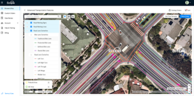
May 14, 2025 – Ecopia AI has made available “off-the-shelf availability of 3D land cover mapping data for the 400 largest cities in the US.”
According to a statement from Ecopia, the company is partnering with Nearmap to “provide civil engineering firms, government organizations, and more with a digital twin to power geospatial analytics applications in land use planning, climate resilience, infrastructure development, risk assessment, and similar workflows requiring high-precision data about current conditions in the real world.”
Nearmap CRO Ray Savona said, “This collaboration was born out of a shared commitment to solving our customers’ most complex challenges. Nearmap is proud to partner with Ecopia and power their next-generation 3D land cover data with our current, consistent, high-resolution imagery and industry-leading location intelligence solution.”
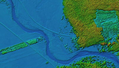
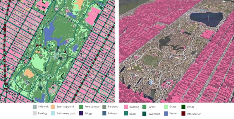
Ecopia explained that 3D land cover data extracted from Nearmap’s high-resolution aerial imagery by Ecopia’s AI-based mapping systems “provides a comprehensive, accurate, and up-to-date digital representation of the physical world.” The dataset, Ecopia reported, “includes 17 standard layers across the 400 most populous US cities, comprising a detailed rendering of the natural and built environments.” In the months to come,
Over the next few months, “off-the-shelf access to this dataset will be expanded across Nearmap’s entire coverage area - over 1.5 million square kilometers that covers 87% of the US population.”
Source: Ecopia