

A large, new release of Esri’s desktop GIS software ArcGIS Pro has been released. Version 3.1 includes many new features and tools. Perhaps the biggest new feature is a reality mapping toolbox named ArcGIS Reality for ArcGIS Pro. The extension complements ArcGIS Pro’s ortho mapping capability with high-fidelity 2D and 3D product generation. This new release is one of four photogrammetry software products that together form ArcGIS Reality, a product suite designed to enable reality capture workflows for sites, cities, and countries. The other three are ArcGIS Reality Studio, Site Scan for ArcGIS and ArcGIS Drone2Map.
Creating four different 3D deliverables
Reality mapping is the process of creating accurate digital representations of the physical world using images, lidar, or both. The new extension combines processing, modeling, tools, and capabilities for multiple 3D deliverables. More specifically, it can be used to create Digital Surface Models (DSMs), true ortho mosaics, point clouds, and 2D/3D meshes from drone and aerial sensor data. These are discussed next.
A digital surface model (DSM) is a digital elevation dataset of the earth, including the elevation of objects on the ground surface such as trees and buildings. DSMs can be derived from stereo image pairs using photogrammetric methodologies. A True Ortho is an orthorectified image corrected using a DSM, which removes perspective distortion. True Orthos can be used to support basemap creation, GIS data backdrop, 2D heads-up digitizing and 2D vector database updating.
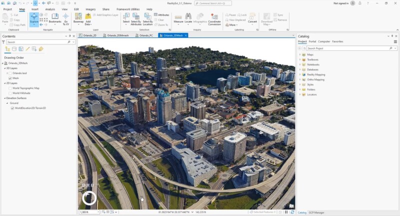
A point cloud is a model of a project area defined by high-density, colorized 3D LAS points, extracted from overlapping images in a block or project area. A 3D mesh is a 3D textured model of a project area in which the ground and above-ground feature facades are densely and accurately reconstructed. It can be viewed from any angle to get a realistic and accurate depiction of a project area.
Target audience and reality mapping workflow
The new extension is targeted at mapping professionals who focus on tasks such as photogrammetric processing of overlapping image collections acquired from drone and


