


Bill Emison has been employed in a variety of technical sales and marketing positions within the geospatial industry for the last fifteen (15) years. Currently, he is commercial sales and marketing account manager for the Geospatial Solutions division at Merrick & Company, a professional services engineering firm based in the Denver Tech Center.
As an experienced technologist within the AEC industry, it struck me that 2015 may signal a notable shift for the attendees of the SPAR International conference. As usual, technical innovations in hardware and software continue to dominate the industry “headlines”, providing improved data metrics (ex. range, accuracy), data analytics (ex. quality control) and robust technical solutions (ex. integrated optical applications featuring LiDAR & photogrammetry). However, I detected movement toward the consideration of other significant factors that will undoubtedly impact future technical developments and operational applications.
To wit, more companies and presenters insist on discussing other relevant corporate “themes” such as worker safety / productivity, quality of source data (and derivatives!), and improved understanding regarding their return on investment (ROI) supporting new technologies.
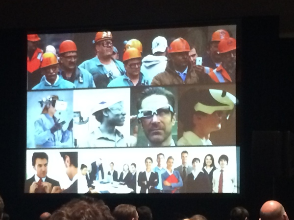
During the keynote talks on Monday, Andy Lowery of DAQRI and Dave Truch from BP America both signaled to the audience that technical merit was not the only factor driving their technology needs – in fact, it appears just the opposite. Much of the discussion focused on the “how” to leverage technology to improve worker safety and reduce industrial accidents – a massive liability for firms that have large, complex operational environments (ex. process plant facilities). Also, the conventional ability to capture and model these facilities is now secondary to the user’s needs to “virtually” tour / inspect the facility and integrate existing asset and maintenance information to provide a more holistic view of each facility.
Obviously, technical innovations are beginning to drive corporate decision-making, as they provide executive management with an unprecedented “view” of their infrastructure and facility environments. By utilizing this immersive 3D perspective, decision-makers have much more information to consider when factoring new plant investments requiring large amounts of capital. In addition, the developing ability to accurately simulate industrial environments is driving improvements in worker training, which typically translates into increased productivity and efficiency. For example, companies can now provide plant safety and fire-fighting training skills to their workers in a virtual environment prior to their deployment to an operational facility (ex. offshore oil rig), which greatly reduces costs as well as improving efficiency and worker safety. As such, Dave Truch stated that this new ability “allows us (BP America) to operate in the future” by supporting what he called the “Physical to Digital to Physical” loop, which is an emerging “3D integration and visualization” approach.
On the second day of the 2015 SPAR International conference, I attended several technical sessions that discussed how new geospatial technologies can be leveraged to support “non-traditional” applications within the architecture and construction industries. One presenter showed how the Structure from Motion (SfM) technology can be integrated with LiDAR to support and complement data capture and visualization of priceless heritage sites. In this scenario, the ability to accurately model the physical structure is greatly improved by the integration of optical information, which adds a richness and complexity to the model that was not achievable previously. This ability to properly “colorize” a fully-rendered 3D model surface improves the overall aesthetic and realism of the model, allowing for a fully immersive visual environment.
Another presenter discussed how the utilization of accurate 3D infrastructure models within an urban setting can greatly enhance city planning activities, as the planners can now place themselves within the 3D environment to better understand the social and business interactions within this complex landscape. In their project example from Mexico City, proposed construction projects can now be visualized within the existing environment, allowing local citizens and other neighborhood constituents to more fully understand the designer’s intentions and to fully support public comment. The ability to render these new developments in a 3D environment will undoubtedly improve the resulting urban infrastructure, as more voices and perspectives will be considered in the planning and design stages.
Perhaps the most interesting presentation I attended on Tuesday involved the use of LiDAR, photogrammetry and traditional surveying to support the development of 3D environments for the purpose of litigation, specifically trial exhibits. In many cases involving personal injury or worker fatalities, legal teams frequently require the use of demonstrative trial exhibits to accurately recreate accident scenes. To this end, laser scanning and photography are emerging as standard capture technologies for police departments and other criminal investigative units.
In one court case, a 3D accident scene was developed to illustrate how the victims of an accidental fall out of a hotel window were injured by showing how their bodies interacted with the physical environment. In another case, the scene of an automobile accident was also captured using laser scanning and photography. By analyzing the resulting spatial information, investigators were able to re-enact the motion and behavior of the vehicle and its occupants to clearly explain how their injuries were caused. This new technical capability provided all the evidence needed to resolve the case, which resulted in an out-of-court settlement. By all accounts, the existence of these 3D models was critical in the resolution of these cases, as all involved could easily understand the environment in which the accidents took place.


