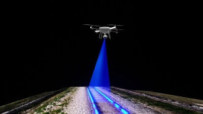
There is one scene I keep seeing in newer action movies. It's the scene where the heroes are about to enter a building to make the big rescue and with a single tap of a wrist tablet appears a holographic outline or blueprint of the entire building. Most people don't think twice about that scene but it always fascinated me because although it might seem simple, the amount of forethought and work it would take to be able to pull up a 3D model of any building is terribly complex. However, it might not be out of reach.
In the AEC and reality capture industries, people love to argue about digital twins. Mostly about what is the definition of a digital twin and what all it entails to create one. I don't usually hear conversations about who can use that data and for what purpose. This is where the true innovation lies, and it's precisely what a remarkable company is doing: taking reality capture data of existing public spaces and leveraging it to empower our real-life heroes.
That company is
The depth of information embedded within RESCU3D's maps is truly their distinguishing feature. These 3D immersive maps are designed to offer "definitive, critical, and real-time information" to first responders. This would inherently include vital intelligence such as precise points of entry and exit, critical for rapid ingress or egress during an emergency. Furthermore, they would highlight potential hazards within the building, allowing responders to anticipate dangers and formulate safer approaches.

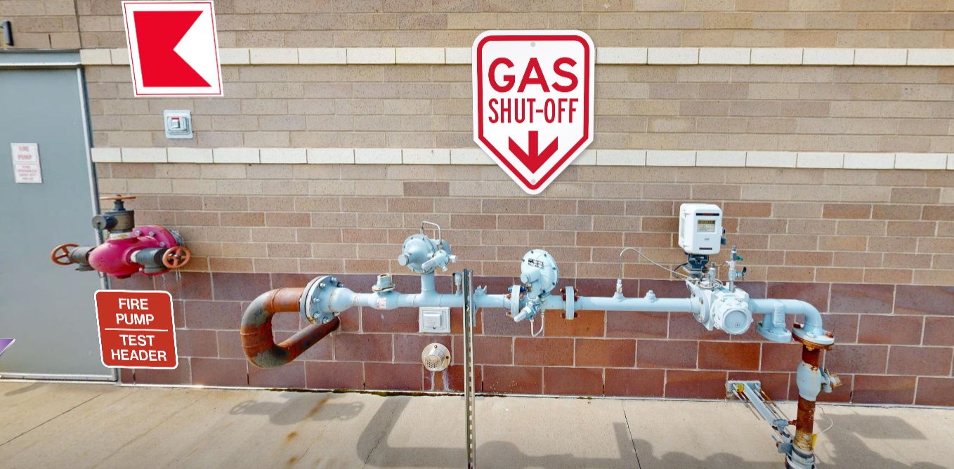
Crucially, the maps provide detailed interior layouts, a significant upgrade from flat schematics that often lack the nuanced understanding of a building's internal structure. This level of detail would allow responders to visualize specific rooms, corridors, stairwells, and other architectural features. The goal is to provide a comprehensive virtual tour of the location , including "room-specific details, ingress and egress routes, utility shut-offs, and door locations. Imagine the ability to quickly locate a master shut-off valve for gas or electricity, or to understand the swing direction of every door—details that are invaluable when seconds count.
The team at RESCU3D is uniquely suited for this vital work, composed of 12 individuals with diverse first responder backgrounds, including law enforcement, fire service, and paramedics, alongside a business partner with Green Beret and FBI experience. This deep understanding of emergency scenarios ensures their product directly addresses the critical information gaps that can cost lives.
RESCU3D has already mapped several hundred buildings, including schools, hospitals, universities, public venues, factories, and retirement homes, receiving positive feedback. While they currently utilize Matterport software and hardware for visualization, they are actively exploring cutting-edge advancements like SLAM scanning technology and even Gaussian splatting to enhance product quality and user-friendliness. They've even developed a proprietary viewer, accessible through their website, to deliver their product. The discussion about potentially integrating Gaussians into their proprietary viewer underscores their commitment to leveraging the latest advancements in 3D scene representation for the benefit of first responders.
What's truly revolutionary about RESCU3D is their commitment to pre-emptive preparedness. They don't just hand over data; they train local law enforcement for each building they protect long before a crisis arises. This proactive approach ensures that when an emergency strikes, responders are already intimately familiar with the layout, allowing them to act with precision and confidence, ultimately leading to faster response times and better outcomes. This level of detailed mapping is particularly vital in scenarios like earthquakes or for assisting individuals with mobility issues.
Beyond the direct life-saving benefits, some of RESCU3D's clients have even experienced insurance cost savings due to the detailed floor plans and images they provide, which can streamline the claims process. This underscores the multi-faceted value proposition of their advanced reality capture solutions.
In a world where digital twins are often debated for their definition and creation, RESCU3D is showcasing their true purpose: transforming reality capture data into actionable intelligence for those who protect us. They are proving that advanced 3D modeling and data management are not just for construction or design, but are vital tools in the hands of our real-life heroes, making the "holographic blueprint" scene from the movies a tangible reality that saves lives.