Every Earth Day, conversations turn to the state of our planet. For most of the world, that conversation happens at a high level. For the geospatial community, it gets a lot more specific, and isn't something that only happens one day for year.
Mappers, surveyors, remote sensing specialists, and GIS analysts don't just think about the Earth in the abstract. They measure it, they model it and, crucially, they track its changes over time, even the smallest ones. And in doing so, they play a quietly essential role in environmental stewardship that rarely gets the recognition it deserves.
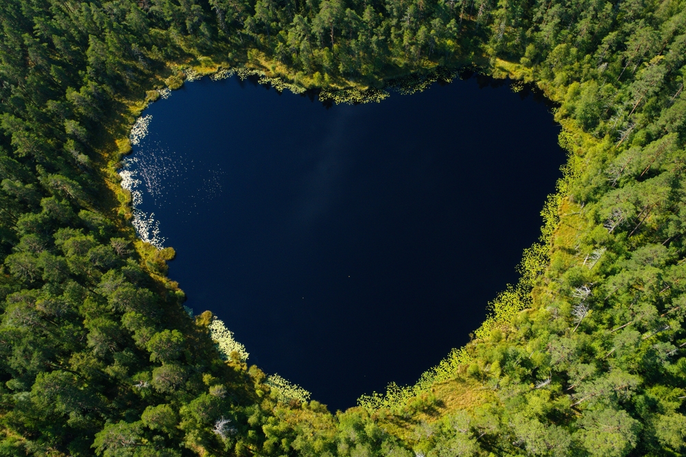
Satellite imagery and airborne sensors have transformed how scientists and land managers monitor environmental change over time. Analysts can compare decades of data to track deforestation, coastal erosion, glacial retreat, and urban expansion with a precision that wasn't possible a generation ago. Remote sensing doesn't just document what the Earth looks like today. It tells the story of how it got there. Lidar adds another layer to that story, revealing details that optical imagery misses entirely. Forest researchers use it to measure canopy height and biomass, with some teams now able to account for carbon storage in woodlands at a scale that was previously impossible. Wildland fire teams use it to understand fuel loads and plan before fire season arrives. And underneath all of it, GIS is where the data becomes something people can actually use to make decisions, plan for the future, and respond to a changing environment with something better than a guess.
What gets lost in technology conversations sometimes is the human side of all this. Behind every point cloud and every classified land cover map is a practitioner who showed up, collected the data carefully, and cared about getting it right. The geospatial community is full of people who pay extraordinarily close attention to the places they work in, and there's something genuinely moving about that when you stop to think about it.
So today we're thinking about the surveyors in the field, the analysts processing imagery late into the evening, and the GIS specialists building maps that help communities understand their world a little better.
The Earth is lucky to have people watching over it this carefully.