With just one month remaining in 2023, this is the time when we both reflect on the year that was, but also look ahead to what’s to come. This exercise is always an interesting one with respect to the surveying industry, which is simultaneously one of the oldest in the world with surveying projects dating as far back as ancient civilizations, but also one of the most innovative. While other similarly established industries tend to stagnate and remain steadfast with old workflows, surveying has regularly looked for better, safer, and more innovative ways to complete the jobs.
This is especially true today, with so many aspects of the technology world at large coming together in ways to benefit a wide swath of industries, including surveying. With things like AI and improved sensor technology, surveyors are poised for another large step forward in their space in 2024. This is something Craig Hill, Vice President of Marketing & Services with Leica Geosystems, part of Hexagon, also foresees, and he recently took some time to speak with Geo Week News about some of the broad trends in the surveying industry coming in 2024.
Diversification is a must
Hill notes that there are certain areas in which surveyors have long excelled, and specifically areas like location and accurate GPS work are being improved by new technology. That said, in addition to the diversification of technology, surveyors can also innovate their overall offerings to separate themselves from “saturated” markets. Surveyors can, for example, branch out into 3D laser scanning, deformation monitoring, mobile mapping, and underground utility detection.
Part of that is being willing to adopt new technologies, which is important for myriad reasons, but diversifying business models more broadly can be just as important. This is where areas like underground utility detection and deformation monitoring – i.e., projects like inspecting bridges, dam and other structures – can open up entirely new sources of revenue. Even better, rather than the traditional business model of a surveyor where they contract a project and get paid as a one-off, monitoring structures can be something that brings in revenue on a regular basis, be it monthly, quarterly, biannually – whatever makes the most sense for that project.
“We’ve talked about SaaS – software as a service,” Hill told Geo Week News. “For surveyors, monitoring can be 'Safety as a Service,' a recurring-revenue offer to their clients, keeping people on and around construction sites safe.”
Adoption of new technology
To some extent, surveyors can diversify their business models simply by adjusting their workflows and looking for different types of clients, but a lot of that work has to do with adopting new positioning and measuring technology. In this case, we’re not necessarily talking about technology that had not existed prior to the past year, but rather technology that hasn’t always been embraced by surveyors with traditional approaches.
Hill calls out a couple of specific technologies here, with 3D laser scanning and mobile mapping. On the former, he says, “One area where [surveyors] can grow their business is in 3D laser scanning. There’s still plenty of opportunities for surveyors that embrace 3D laser scanning and grow their business in that area.”
Given the democratization of the space with products like the Leica BLK scanners, among others, non-surveying professionals have been able to build new businesses around the technology. But Hill emphasizes that surveyors have a unique opportunity to integrate 3D laser scanning to offer better and higher-value services to their existing clients, turn around projects faster and win new business.
Similarly, mobile mapping is a technology which is not new, but one that has been steadily gaining more adoption over the last couple of years. Hill sees surveyors being a group which can take advantage of the tool. “Mobile mapping is a way of doing a road or rail corridor very quickly and doing that mapping in a timeframe that’s significantly faster compared to traditional surveying,” Hill says.

The explosion of AI and machine learning
Looking at trends for 2024 in any field that utilizes any sort of technology, there’s no avoiding a conversation around artificial intelligence and machine learning. Surveying is certainly no exception to this, and Hill mentioned a couple of different use cases. One is around utilizing software, which has become easier said than done. As hardware has become more sophisticated and it’s become easier to utilize multiple data collection methods for one project, software has had to keep up. Now, it can be difficult to use, particularly for new users. Hill believes AI can help bridge that gap.
“Take ground-penetrating radar. Traditionally, the data is hard to read and interpret. IDS GeoRadar, part of Hexagon, integrates AI in its software offering to automate processing and simplify visualizations. These make the software easier to use and helps users interpret the data. That’s where I also see a challenge for surveyors: If they don’t embrace AI to simplify their workflows, someone else will.”
That is one type of AI, and the kind of AI which helps streamline workflows is the most common in this kind of profession. However, large language models like ChatGPT have been the fuel of this current AI boom, and Hill has seen ways these can help surveyors, too. He gives an example he saw of someone utilizing a large language model to write up a cadastral border plan, which is a requirement for these projects in the US. Here, an LLM was able to write up that description and the surveyor only had to go through and clean up the writing, saving significant time and effort.
Safety at the forefront
Keeping safety front-of-mind is not a new concept of surveying, to be clear. This is always priority number one. With new technology, though, safety can be improved, and surveyors can play a larger role in keeping general populations safer. The latter point was brought up on two fronts in our conversation with Hill, including the aforementioned monitoring workflows. Additionally, he notes that more surveyors are utilizing technology like ground-penetrating radar. For construction projects, there is often limited knowledge of exactly what infrastructure is buried underground and exactly where it’s located, which can lead to dangerous strikes. By mapping these subterrestrial areas, which can be done by surveyors, both on-site workers and residents around these areas can be kept safer. Hill notes that Leica Geosystems offers technology for this area with things like cable locators as well as utility detection systems.
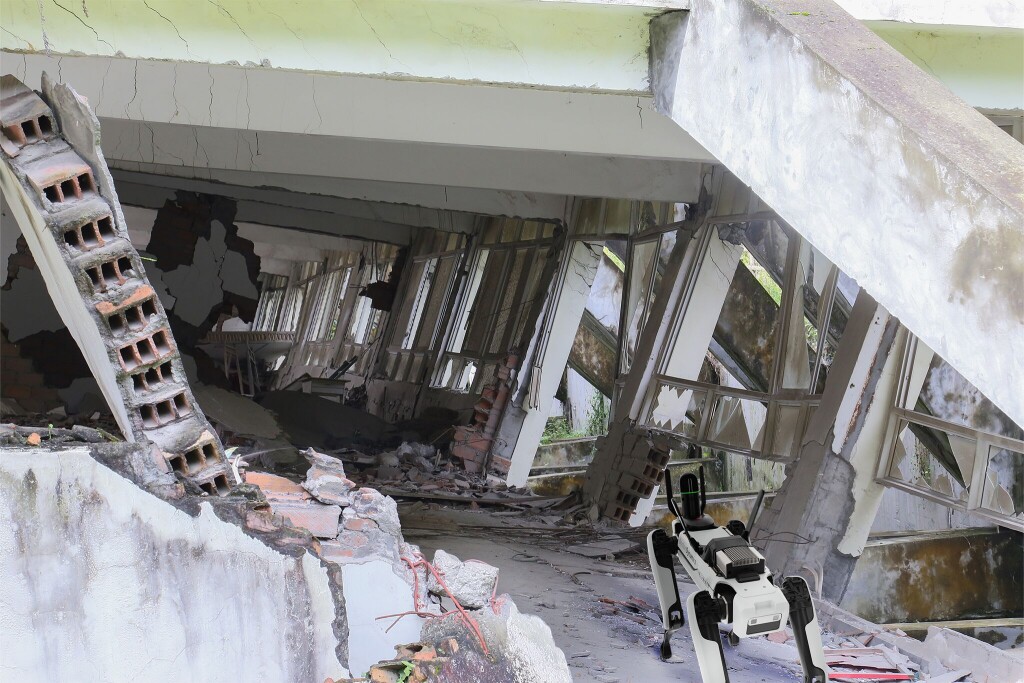
Hill also talks about the growing usage of tools like UAVs and ground-based robots, both autonomous and remotely controlled. Each of these can allow for hard-to-reach areas to be surveyed without putting the surveyor in peril, and Leica’s BLK2FLY and BLK ARC can be used to capture these areas via UAV and/or ground-based robot.
“You can, for example, mount the BLK ARC on a robot, like Boston Dynamic’s Spot, and train it to walk around in a dangerous environment – it could be a nuclear facility or chemical plant, for example – and then get it do that repeatedly every day or every hour,” Hill said.
Helping to establish smart cities
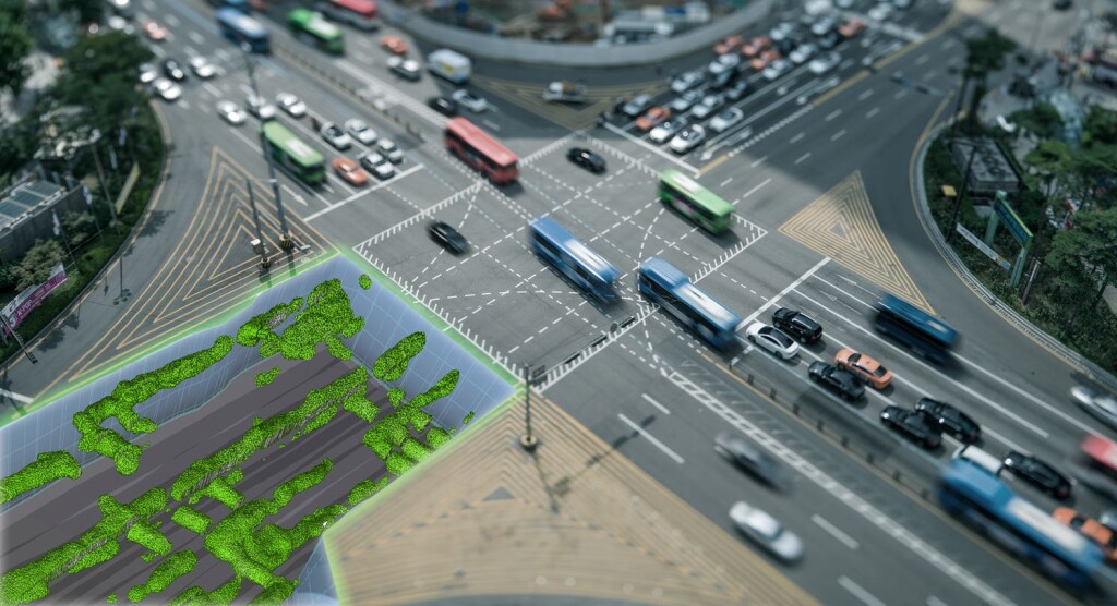
Perhaps the most forward-looking piece of our conversation with Hill was a mention of how surveyors can help establish smart cities. Many localities around the world are starting to implement more technology into city life to make life more streamlined for citizens, but that process can be easier said than done to get off the ground. One of the most important aspects of this work is to bring together disparate datasets, which is where surveyors can often thrive.
“From aerial mapping to ground mapping, and even below the ground to get all of the utilities. In Smart Cities, various systems need to work seamlessly together, so you need to merge those datasets. How do you bring these different datasets together in one coordinate system? A service provider who doesn’t understand coordinate systems could really mess things up. It will require surveyors to integrate and manage spatial data, ensuring that all components operate cohesively.”
If you listen to Hill, you get the impression that the geospatial future is here for surveyors willing to seize it. Embracing diversification, deliberately adopting artificial intelligence and machine learning, and leveraging innovations to achieve your business ambitions are currently opportunities, but may soon be strategic imperatives.


