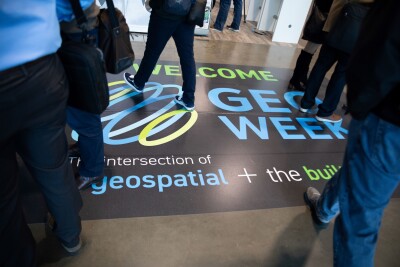
Next month, professionals from the commercial UAV industry will be coming together for the leading conference and trade show focused on this sector, Commercial UAV Expo. The event, which is a sister show to Geo Week, takes place September 2-4 at Caesar’s Forum in Las Vegas, and will feature three days of presentations and exhibit hall access, with the latter featuring many of the leading drone companies in the industry, as well as an indoor demonstration area on the floor.
The event covers a wide range of topics relevant to the commercial UAV industry, including areas like drone delivery and public safety. However, as one would expect, there is plenty of relevant content for those in the surveying and mapping space, as well as in construction. With the geospatial industry being one of the most prominent and earliest adopters of drone technology, this presence at the event shouldn’t come as much of a surprise. If you are in this industry and either using drones within your workflows today or considering adoption in the future to expand your offerings, there will be plenty for you to take in at this year’s event. And good news: Registration will remain open up to and through the event.
How to Navigate New BVLOS Rules
Those within the UAV industry are surely aware of the major news that dropped earlier this month, with the FAA releasing the Notice for Proposed Rulemaking (NPRM) for beyond visual line of sight (BVLOS) operations. The newest rules to govern the future of the drone industry in the United States, sometimes known as Part 108, are sure to unlock the next generation of workflows using UAVs. For those who aren’t aware, these proposed rules – which will certainly be changed in some key ways when the final rules come out, likely in 2026 – will create standards and regulations around how organizations can fly operations beyond visual line of sight.
These rules are critical for nearly every industry using drones for their work, and the geospatial sector is no different. Recently, Juan Plaza wrote an article on Geo Week News highlighting what these rules will mean for photogrammetry, and these rules will make surveying in general more friendly to BVLOS operations in the U.S., as the waiver process will change significantly. Commercial UAV Expo is the place to learn about these new proposed rules, both about what is contained within the NPRM and how to leave public comments to ensure that the final rules reflect what is needed within the industry.
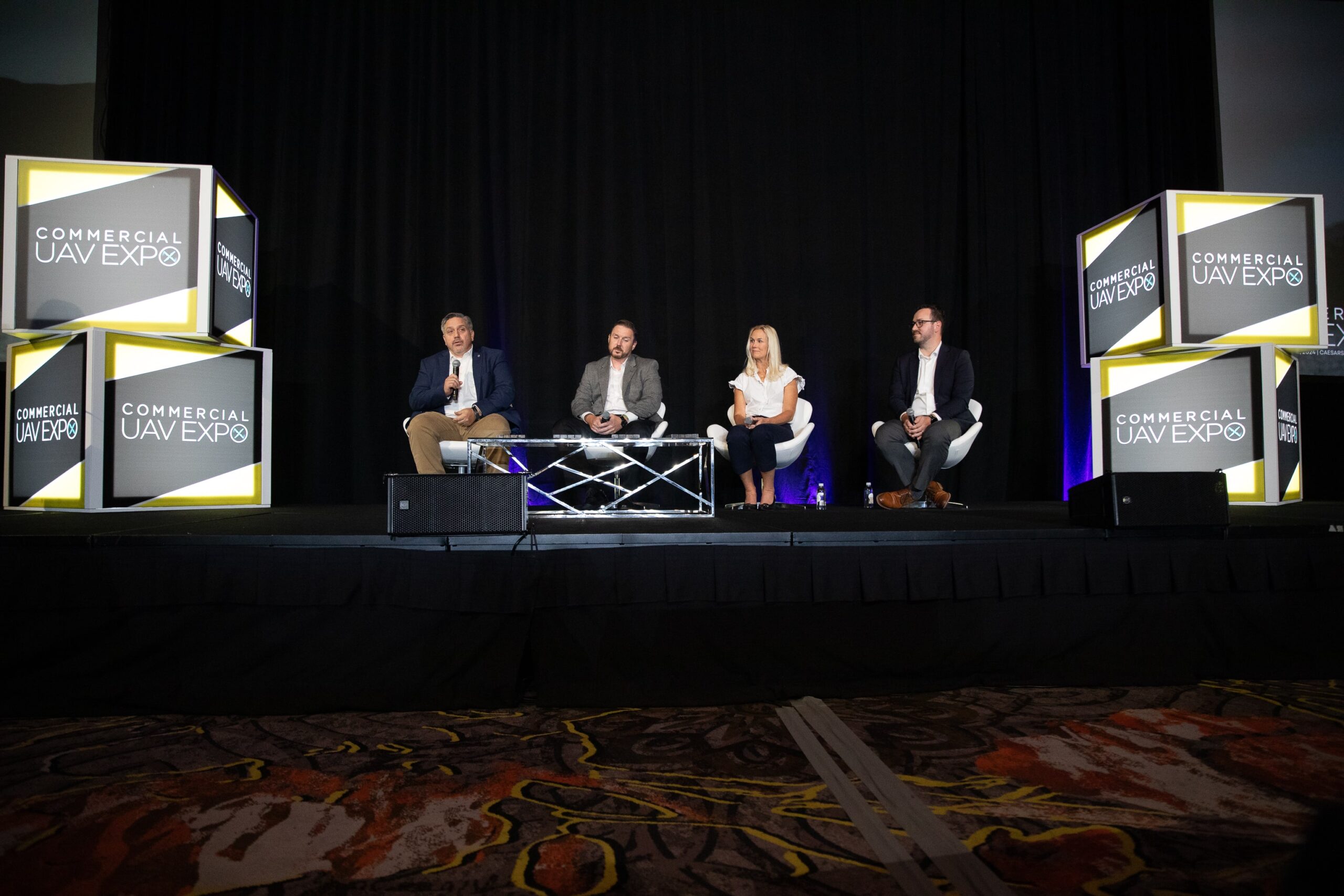
Nearly all sessions at this year’s event are sure to at least mention the NPRM, and there are a handful of sessions specifically dedicated to the proposed rules. There are two panels that will dive into what is contained in the document, as well as a roundtable session that will give attendees the opportunity to ask questions about specific topics, hear from experts and thought leaders in those areas, and just generally speak with peers about how the industry will move forward.
Case Studies and Thought Leadership
Beyond that specific topic, the conference program for this year’s event has a number of different sessions that will be relevant to surveyors and other geospatial professionals. In fact, there is an entire itinerary available for those who are interested in content related to surveying. As drones have become more accessible, and payloads have improved and shrunk to allow for more powerful workflows, professionals in surveying and mapping are now using this technology more than ever. The types of sessions being offered at this year’s Commercial UAV Expo provide the critical knowledge required to ensure your workflows are sustainable and will make you competitive among peers.
On the first day of the show, for instance, there are multiple workshops available for additional purchase being hosted by companies like Virtual Surveyor, Pix4D, Trimble Applanix, and GeoCue, as well as one being hosted by ASPRS. These types of hands-on learning opportunities are a powerful investment to acquire the tools necessary for achieving real ROI on these drone-based operations in surveying, mapping, and construction.
As the conference starts in full swing on Wednesday, there are a number of sessions that will be of interest to those in the geospatial sector. The opening keynote, for example, includes a presentation from HDR about their work on the first-ever drone operations within the Grand Canyon. As just a few more examples of sessions for surveyors, there is a session about how workflows can be transformed by drones, one sharing best practices, and a roundtable specifically for surveyors. These are in addition to the many other sessions on the program that are relevant to anyone utilizing drones, regardless of industry.
Meeting Industry Leaders
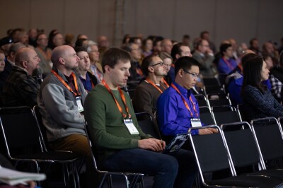
Of course, while the conference program is tremendously valuable for professionals to learn from, it’s only a part of this event. There are also countless networking opportunities, as well as the chance to meet representatives from the industry’s leading companies on the exhibit hall floor. Each day ends with networking opportunities on the floor, and the entire event gives space for attendees to speak to industry peers and thought leaders, both through organized roundtables and spontaneous conversations throughout the venue. When you throw in many of the leading surveying companies having a presence at the event, attendees can learn directly from these companies’ representatives and see the latest technology they have to offer.
Don’t miss your chance to learn about the UAV-based surveying industry’s latest trends, and see the latest technology. Register today using the code PART108 at checkout for $108 off a full conference pass.