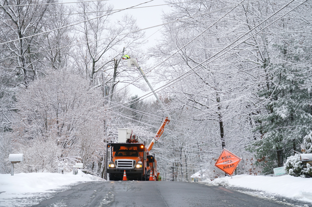
The weekend had brought a particularly weird early spring storm consisting of wet snow followed by ice accumulation, which wreaked havoc on trees and, by extension, power lines. Many of my colleagues and friends in Maine were without power for several days, and I found myself contemplating ordering a backup generator as a housewarming present for my sister-in-law’s new house.
While the occasional odd storm isn’t difficult to handle, a general trend towards more and different weather events can be dangerous and costly. Scientific consensus suggests that as climate change progresses, we can expect to see an increase in the frequency and intensity of certain types of extreme weather events - and this is something that utility companies are increasingly aware of.
Without any realistic way to prevent these weather incidents, the best approach taken by utilities has been to attempt to reduce the likelihood that weather events could cause enough damage to the power infrastructure to affect people. Lidar has turned out to be a crucial tool in this fight, and as lidar technology (as well as drone technology) continues to progress, we should see even more utilization.
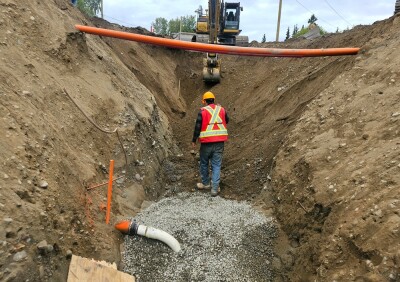
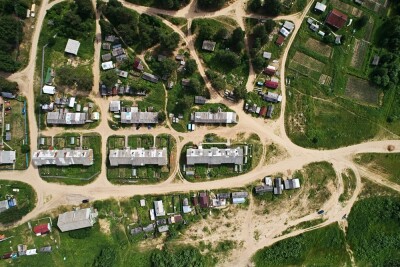
There are a few obvious applications for lidar when it comes to maintaining the power grid - firstly being the management of the trees that are responsible for taking down the power lines. Mapping corridors where power and transmission lines are located can help to rapidly identify areas where vegetation encroaches on lines, and can help utilities to allocate resources to problem areas in a more targeted way, to attack the biggest areas of concern first. Lidar can also be utilized to inspect the electric infrastructure itself, at poles, towers, lines, and substations. By capturing high-resolution 3D data, lidar (and photogrammetry) can help detect signs of wear and tear, corrosion or other damage that may require maintenance or be prone to failure. And, after a storm or disaster event, aerial imagery can be collected to quickly assess the extent of damage to the electric grid.
What’s on the horizon beyond today’s capabilities?

While these applications for lidar and imagery are growing in adoption, we might need to think even bigger as these situations escalate and intensify. Imagine combining advances in autonomy, robotics, satellites and AI and you can begin to see a future where lidar and 3D tech can even help to get ahead of outages.
As autonomous drone capabilities and “drone-in-a-box” solutions come online, there is the potential for setups that would allow drones to perform regular inspection routes, or be deployed on-demand without a person there. Could these drones run along a line that’s damaged and pinpoint the exact point of failure before the crews head out? Automated responses, such as rerouting power flows or dispatching maintenance crews, could even be triggered to address potential issues before they escalate into outages.
At some point, drone technology may even be capable of performing some repairs or even vegetation management from the air - we’re not that far off with precision spraying capabilities that some drones are already capable of or even this terrifying-looking chainsaw hanging from a helicopter. Maybe for use in non-residential areas only, though, I’m not sure seeing something like that fly down the street would be very comforting.
Another avenue to consider is risk analysis. Imagery from aircraft, drones and even satellites are more affordable and accessible. We are close (at least on the satellite data side) of getting some really interesting information on change detection over time. Could more up-close data from planes and drones be analyzed with AI to pinpoint the most vulnerable spots, or the spots in need of the most vegetation repair? Can advanced auto-classification tools help quickly differentiate tree from powerline in point clouds?
AI doesn’t have to be limited to image analysis either - utilities could have AI review past maintenance and failure logs to start to come up with predictions of where the next failures might occur on a large scale. Using that type of location intelligence could save millions in preventative maintenance.
While weather prediction has it’s own challenges ahead as those models are disrupted by climate changes, longer-term data on the damages storms cause have the potential to be analyzed to help to identify whether an incoming storm will be damaging or not, and perhaps hone warnings to people. If you know that the last 4 times a front happened under certain conditions resulted in a lot of a certain type of grid failure, there could be some learning to be gained there.
By harnessing the power of advanced technologies, utility companies can proactively identify and address potential risks to the electrical grid, optimize maintenance practices, and enhance grid resilience. This holistic approach not only minimizes the impact of outages on customers but also improves operational efficiency, safety, and sustainability.
While there’s definitely caution to be had when adopting AI and emerging technologies, there are some areas in which investing in these capabilities has the potential to be a positive disruption. Who knows, eventually maybe that generator won’t be such a good housewarming present after all.