The geospatial industry touches so many different parts of our lives and is so wide-ranging that it can be a challenge to keep up with all of the various subsections. That is why, every other week, we sweep the internet to find some stories that can highlight where things are in the industry today, ideally in a way that touches all different aspects of the sector. Today, we are highlighting the industry by looking at stories around UAV mapping, lidar for traffic management, and a bathymetric survey in New Zealand.
Find links to the full articles below.
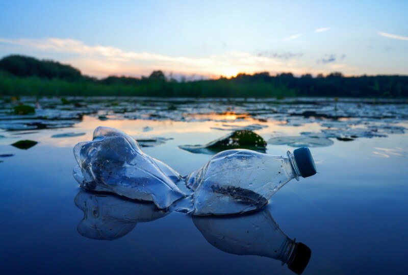
Mapping the plastic using UAV imagery
Simon Ironside, Gordana Jakovljevic, Naa Dedei Tagoe | GIM-International
We know that plastic has and will continue to have a number of negative effects on the health of the planet, particularly our oceans and waterways. To address that concern, the International Federation of Surveyors (FIG) has formed the Mapping the Plastic Working Group. This article highlights the work being done by that group, specifically looking at how they are combining deep learning techniques with UAV-captured imagery to help address the problem.
Chattanooga to expand new ‘lidar’ traffic system throughout downtown
Kailee Shores | Chattanooga Times Free Press
While in our context we often think about lidar being used for large-scale mapping projects and collected crucial reality modeling data for structures and other projects, we know the technology has a number of other uses. One growing use is helping traffic management in urban areas, an area in which Chattanooga has become a leader. This article looks at some of the existing efforts to incorporate lidar for traffic management within the city, and how those efforts will be expanding moving forward.
3D mapping of New Zealand’s coastline kicks off
Hydro-International
For many communities around the world, the effects of climate change are starting to show around coastlines, making it vital to have accurate map data about these changing areas. New Zealand is among those who are working to create these maps. This article highlights a new program that is just getting underway to use lidar for 3D mapping of the nation’s coastlines.