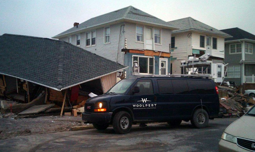
I’m not one to tell you “I told you so,” so I’ll just say I’m happy to see that Woolpert has been profiled with a nice story in the Dayton paper about how their mobile lidar technology is helping with the Sandy clean-up effort. As I predicted would happen.
Sorry. I can’t help myself sometimes.
Anyway, Woolpert is “taking part in a Rutgers University project to collect 3D visual data of hurricane-ravaged areas using geospatial mapping technology … [and that data]will be used as a resource to identify damaged objects and plan the reconstruction.”
Could you just drive through the actual affected areas and identify damaged objects? Obviously. But I can see how it would be much more efficient to identify them all in the comfort of an office, which would allow you to database them much more quickly.
However, I might quibble with this statement:
“This is the first time anywhere that this technology has been used for disaster recovery,” said Jeff Lovin, Woolpert’s director of geospatial services.
I mean: Ahem (2006, Katrina). And, even if you allow he only means mobile lidar technology, well, further ahem (2011, Japan).
But let’s not quibble. Woolpert are to be commended for doing the scanning at cost and helping with the clean-up and restoration effort. There’s no doubt that valuable information can be gleaned from contrasting where structures wound up vs. where they actually used to be. There ought to be all manner of engineering lessons learned there that can inform future building and architecture efforts.
Further, kudos to their PR team. The article is a great education effort for the industry as a whole, with a thorough description of the technology for the layman and a description of its overall practical applications.
And there are plenty of people still hurting down there in the New York/New Jersey area. Let’s hope this helps them get back on their feet a little quicker.


