
Webinar
What's Under There? Mapping the Invisible Infrastructure Beneath Our Cities
On-demand Webinar | Free
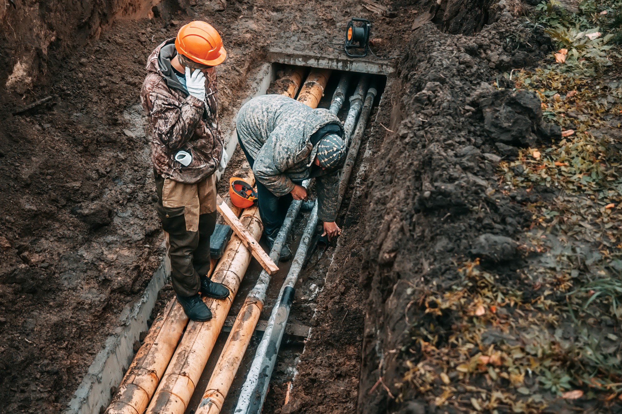
Underground utilities, aging pipelines, buried infrastructure — the assets we can't see are often the ones that matter most. As digital transformation reshapes how we plan, build, and maintain the built environment, subsurface data is finally getting the attention it deserves. Yet mapping what lies below ground remains one of the most complex and consequential challenges in the geospatial world. In this webinar, experts discuss the tools, workflows, and real-world challenges involved in bringing underground infrastructure into the digital age — from ground-penetrating radar and subsurface modeling to data integration, standards, and liability.
Key Takeaways:
- The current state of subsurface mapping technology — what's working, what's not, and where the gaps are
Who Should Attend:
Utility managers, civil engineers, GIS and geospatial professionals, transportation and infrastructure planners, municipal and government agency staff, and anyone involved in the design, construction, or management of underground infrastructure.
Speakers

John Niles
Senior Program Manager, Accenture

Jason Graf
Business Development Manager, SAM NY

Timothy Massi
Land Survey Regional Lead, National Grid

Tom Cerchiara
Land Surveyor – Senior Solutions Engineer, Pix4D

James Melachrinos
Research and Development Engineer, Con Edison
Moderator

Carla Lauter
Senior Content Manager, Geo Week News